 $19.99
UK countries
United Kingdom Countries
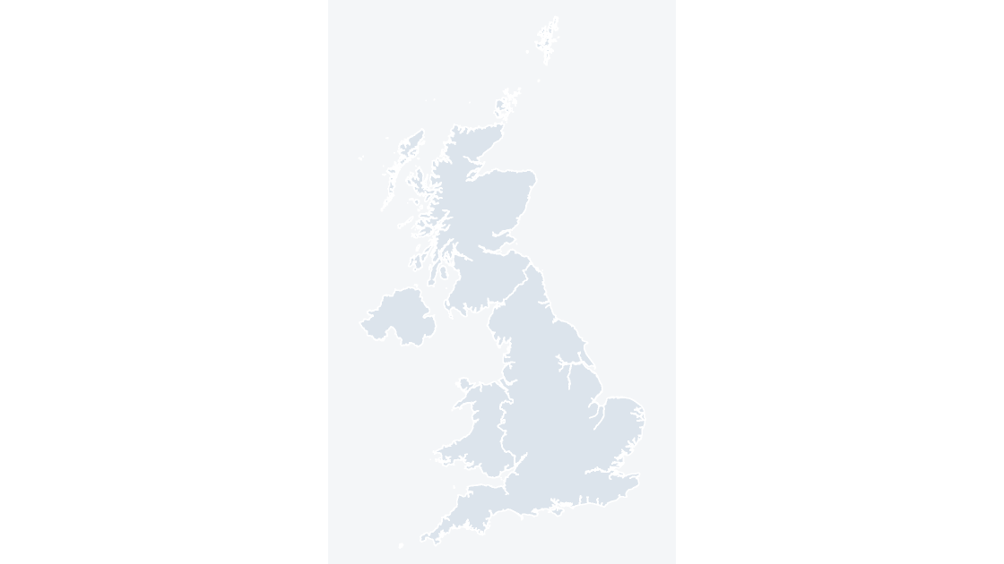
England, Scotland, Wales and Northern Ireland — 4 editable shapes, the first level every UK dataset is published at.
4 countries
521 KB
Every template is a .pptx that opens in PowerPoint, Keynote and Google Slides, and ungroups into separately editable areas. Use them for sales territories, coverage and catchment maps, local reporting, planning and public affairs work. $19.99 per template, with the download link issued once payment is confirmed.
$19.99
England, Scotland, Wales and Northern Ireland — 4 editable shapes, the first level every UK dataset is published at.
 $19.99
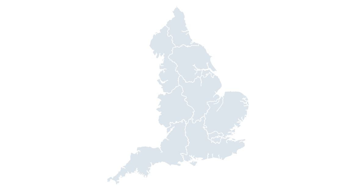
The 9 regions of England — the level most English economic, health and public-sector data is published at.
 $19.99
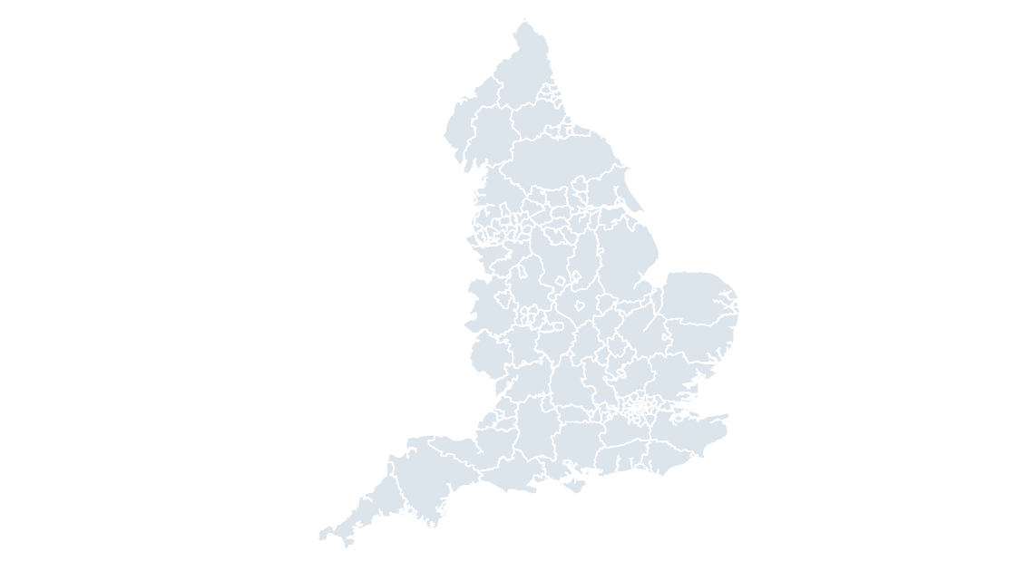
All 153 English counties and unitary authorities — the level above districts, and the one most published statistics use.
 $19.99
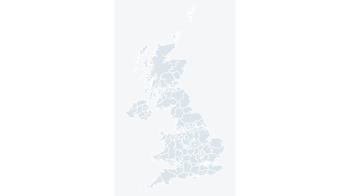
All 218 counties and unitary authorities across the four nations, each one a separate editable shape with its own GSS code.
 $19.99
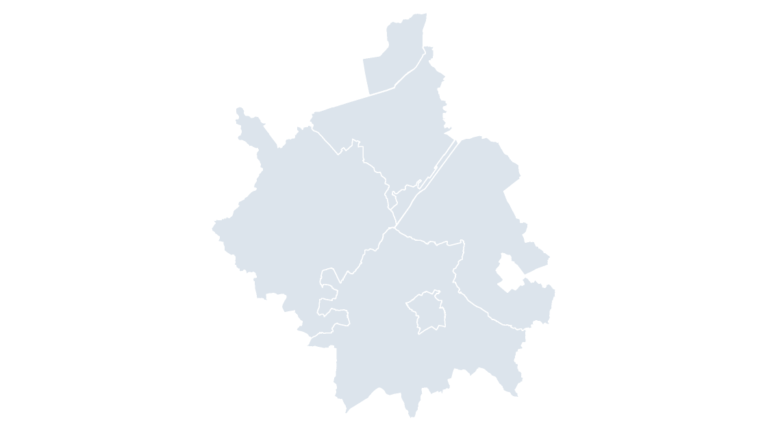
The 5 districts of Cambridgeshire, the tier below the county council.
 $19.99
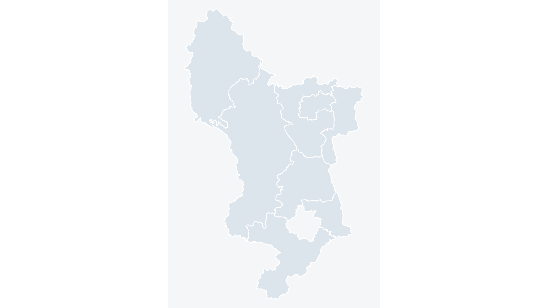
The 8 districts of Derbyshire, the tier below the county council.
 $19.99
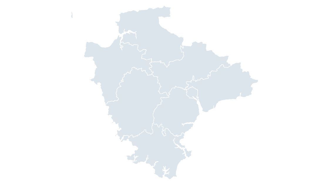
The 8 districts of Devon, the tier below the county council.
 $19.99
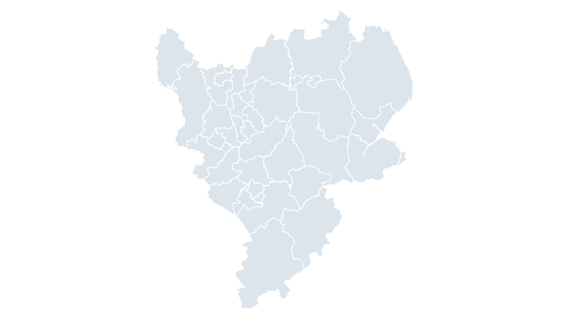
All 35 local authority districts in East Midlands.
 $19.99
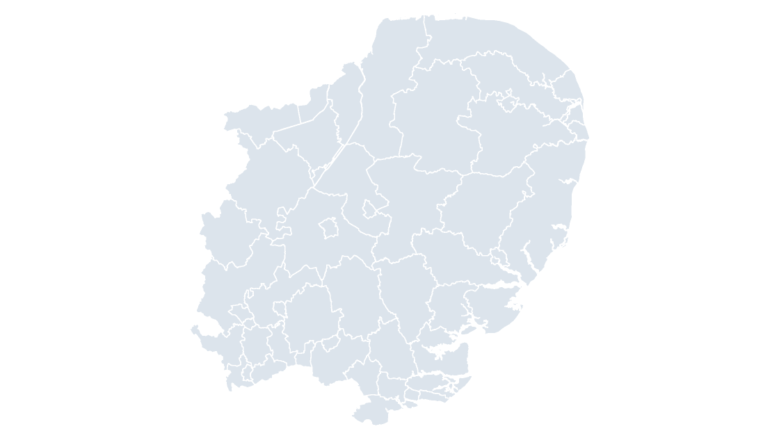
All 45 local authority districts in East of England.
 $19.99
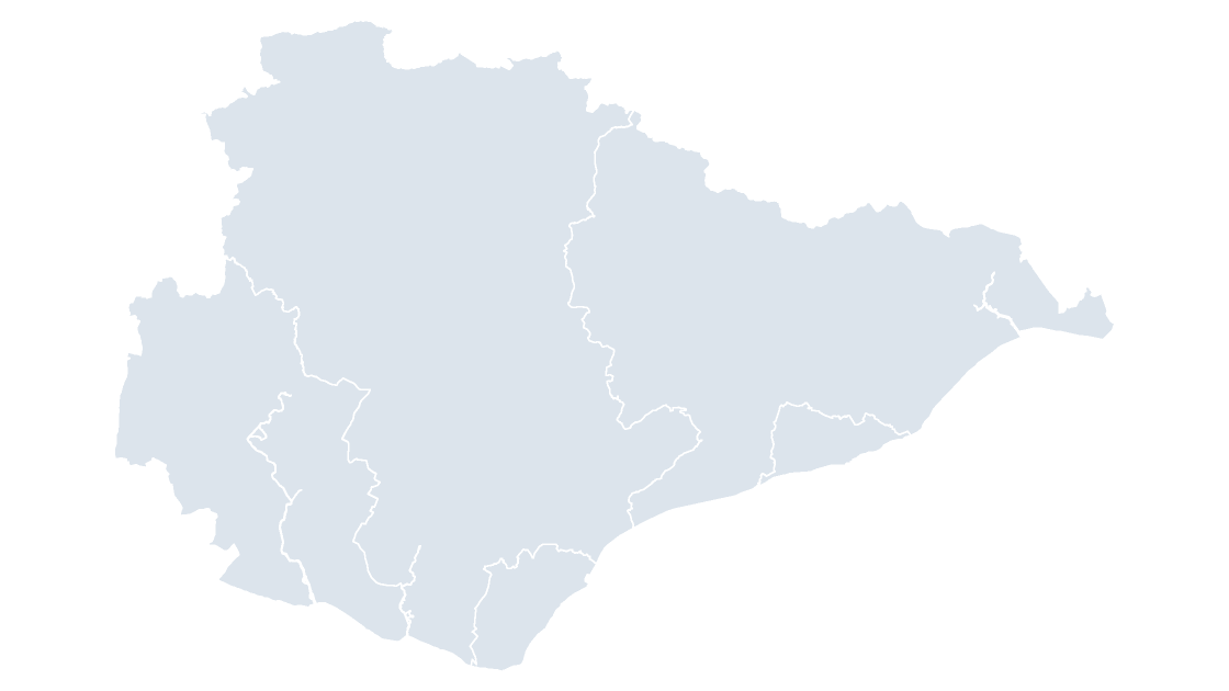
The 5 districts of East Sussex, the tier below the county council.
 $19.99
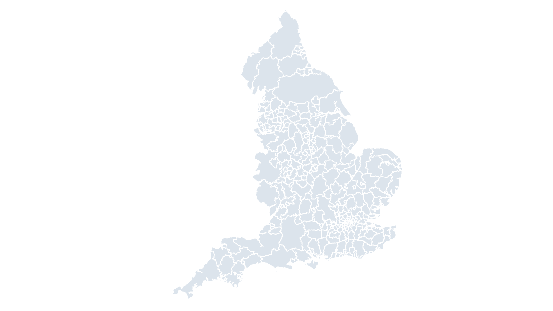
All 296 local authority districts in England, each one its own editable shape with its GSS code.
 $19.99
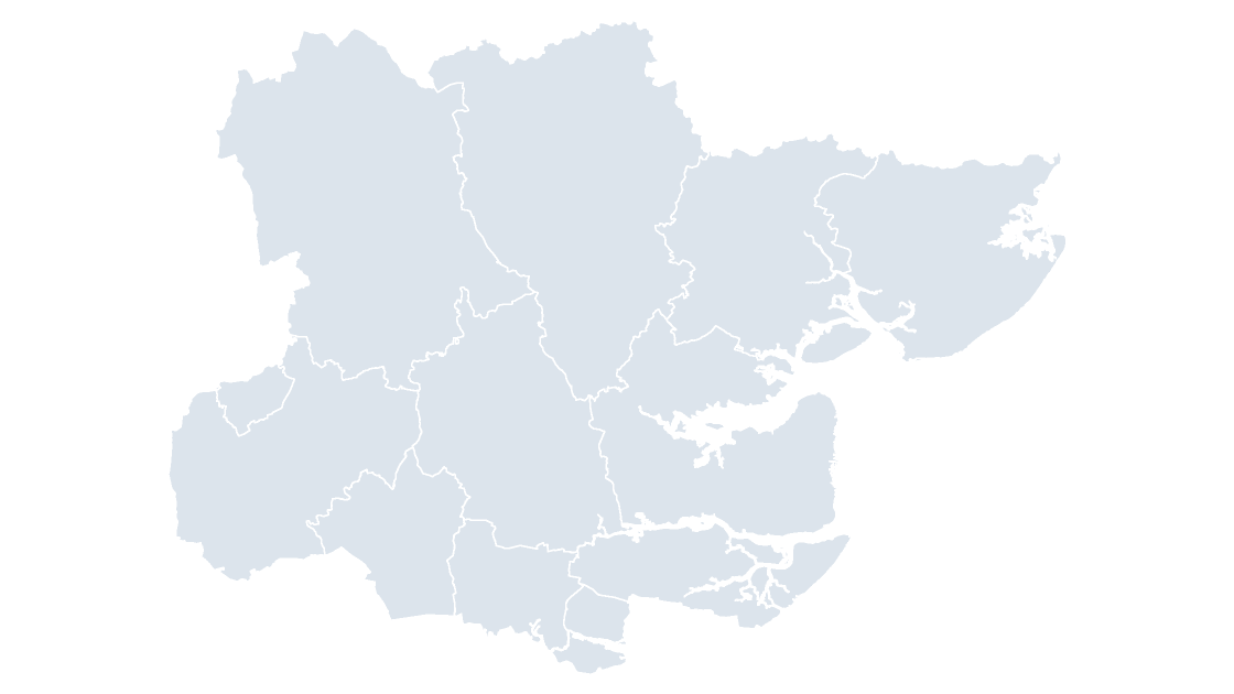
The 12 districts of Essex, the tier below the county council.
 $19.99
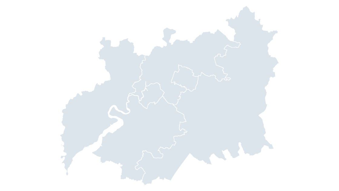
The 6 districts of Gloucestershire, the tier below the county council.
 $19.99
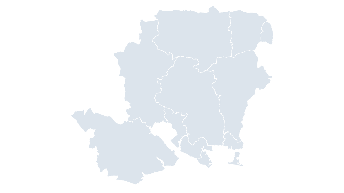
The 11 districts of Hampshire, the tier below the county council.
 $19.99
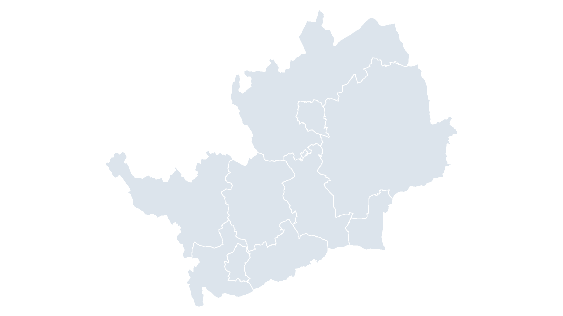
The 10 districts of Hertfordshire, the tier below the county council.
 $19.99
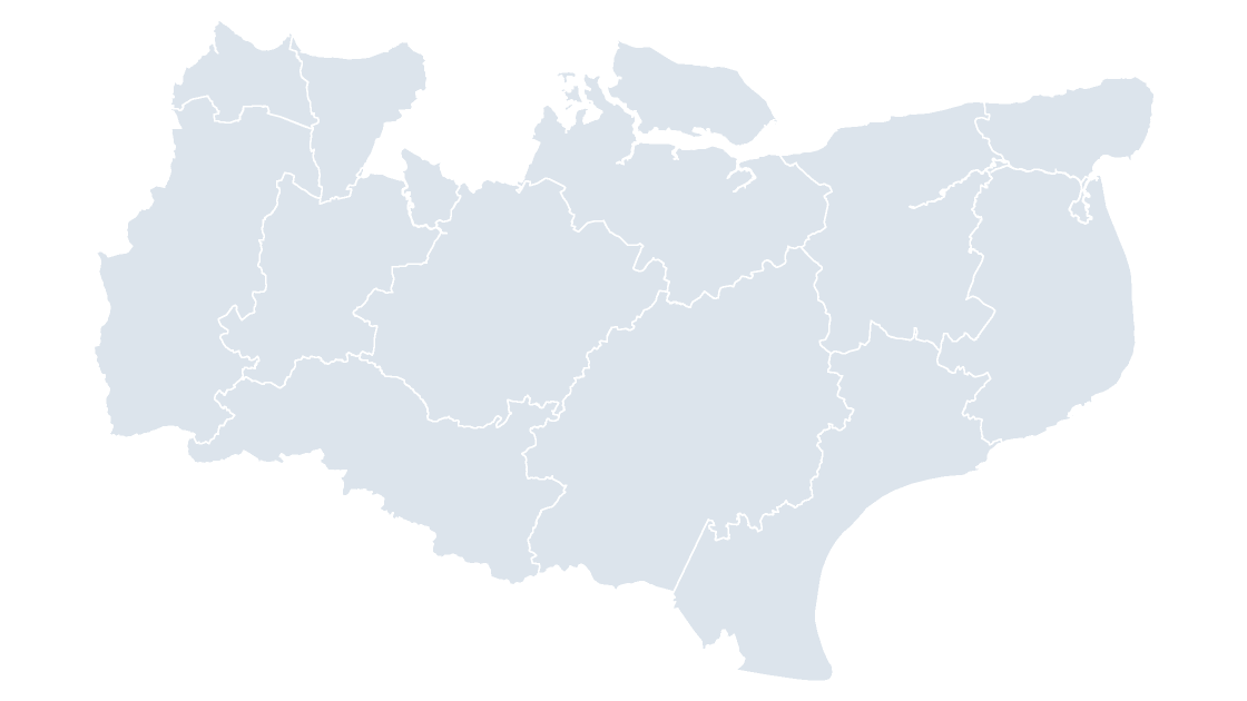
The 12 districts of Kent, the tier below the county council.
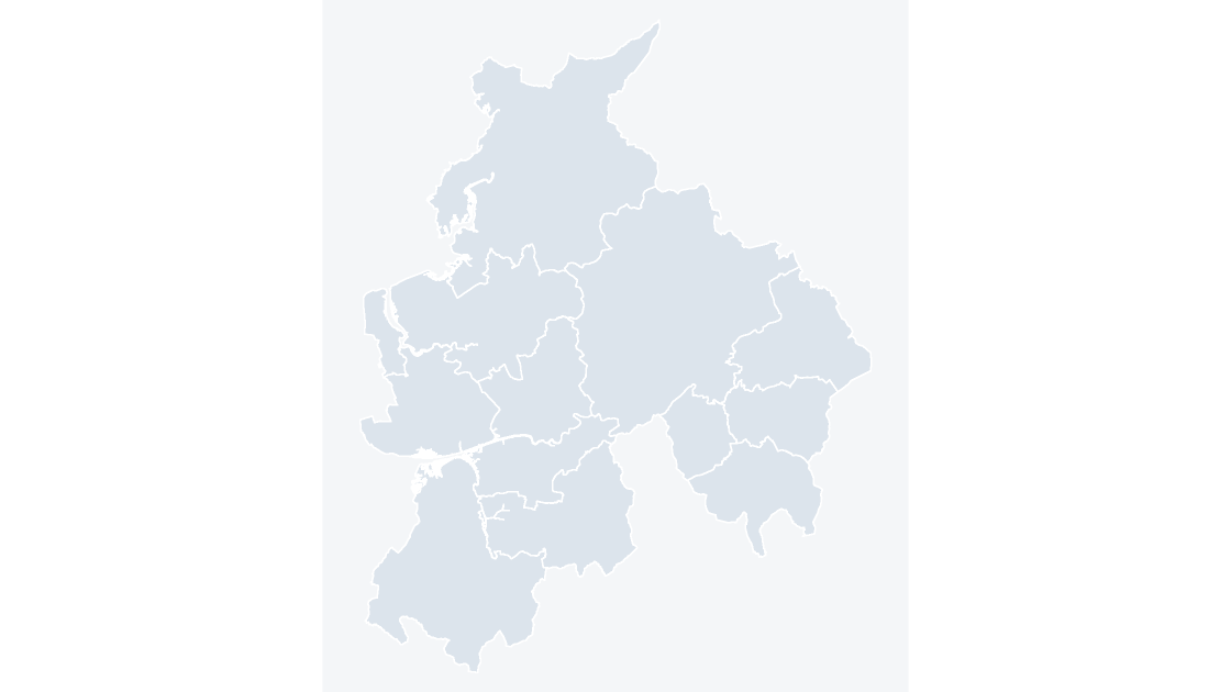 $19.99
The 12 districts of Lancashire, the tier below the county council.
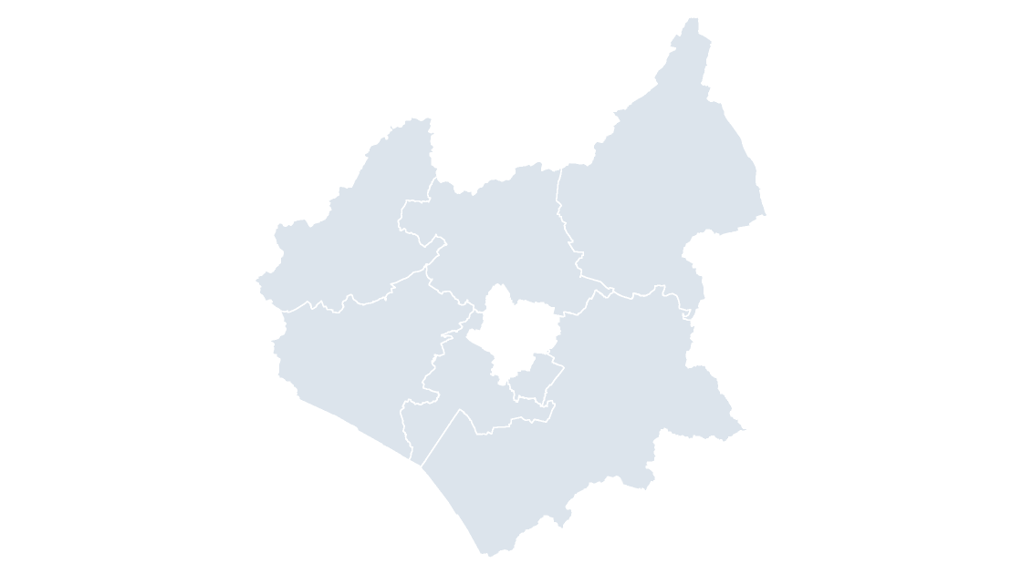 $19.99
The 7 districts of Leicestershire, the tier below the county council.
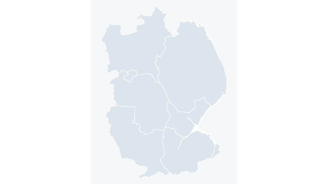 $19.99
The 7 districts of Lincolnshire, the tier below the county council.
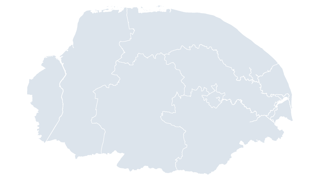 $19.99
The 7 districts of Norfolk, the tier below the county council.
 $19.99
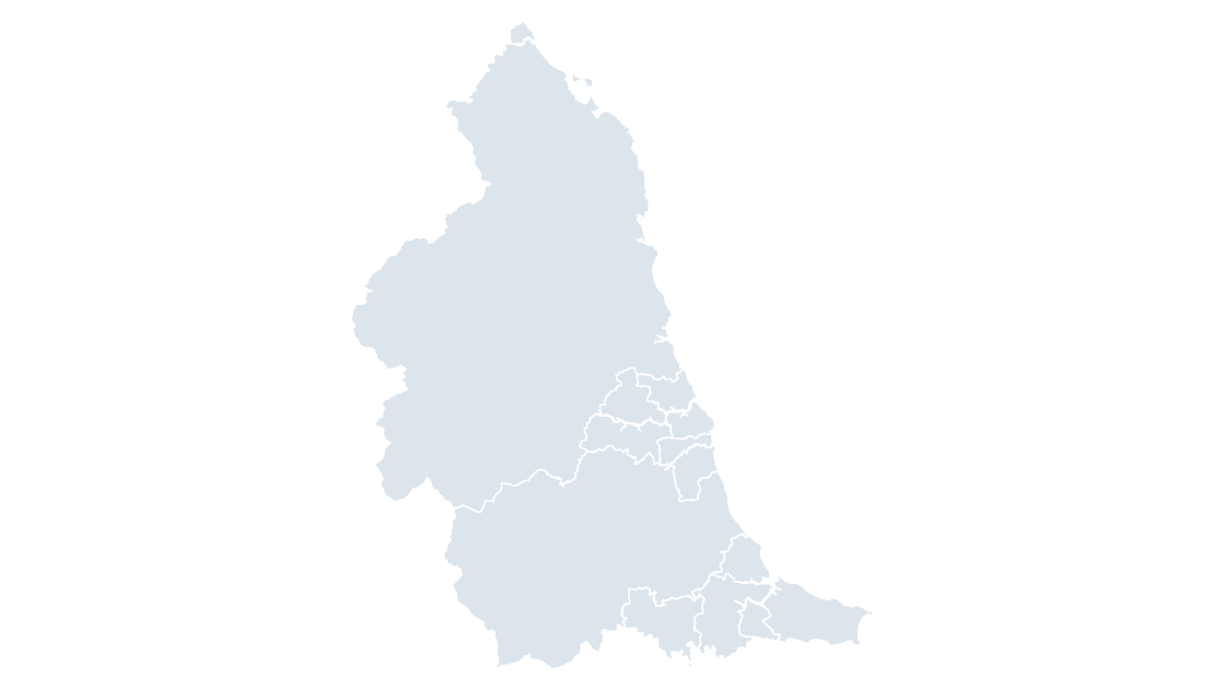
All 12 local authority districts in North East.
 $19.99
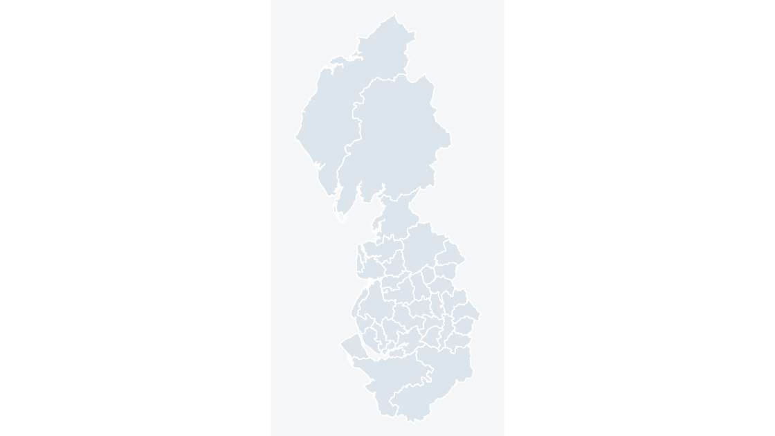
All 35 local authority districts in North West.
 $19.99
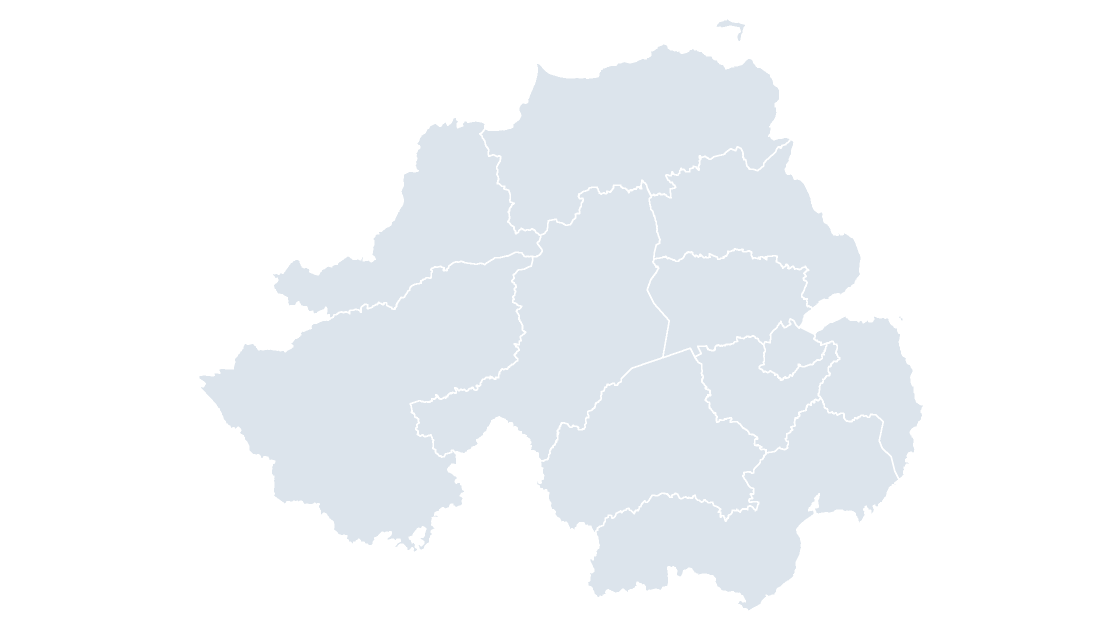
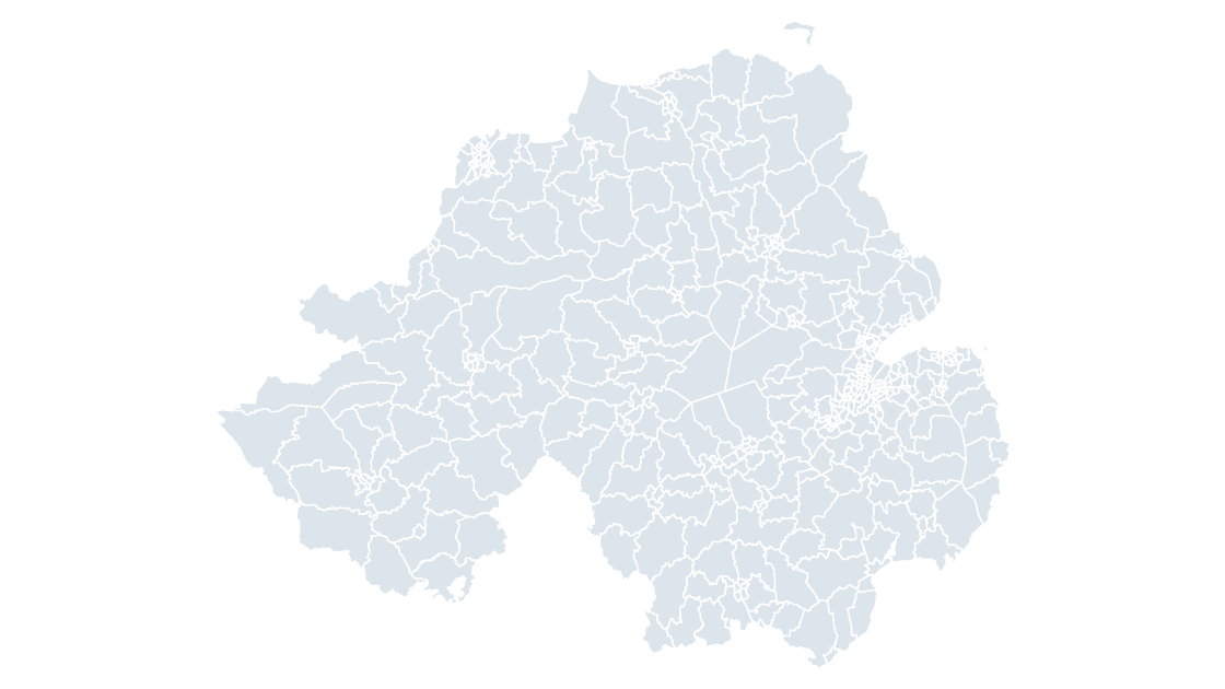
All 11 districts in Northern Ireland, each one its own editable shape with its GSS code.
 $19.99
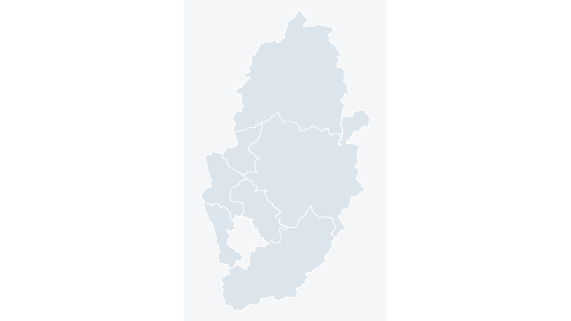
The 7 districts of Nottinghamshire, the tier below the county council.
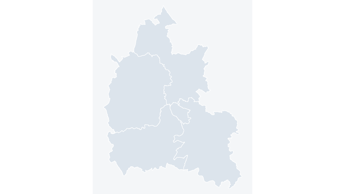 $19.99
The 5 districts of Oxfordshire, the tier below the county council.
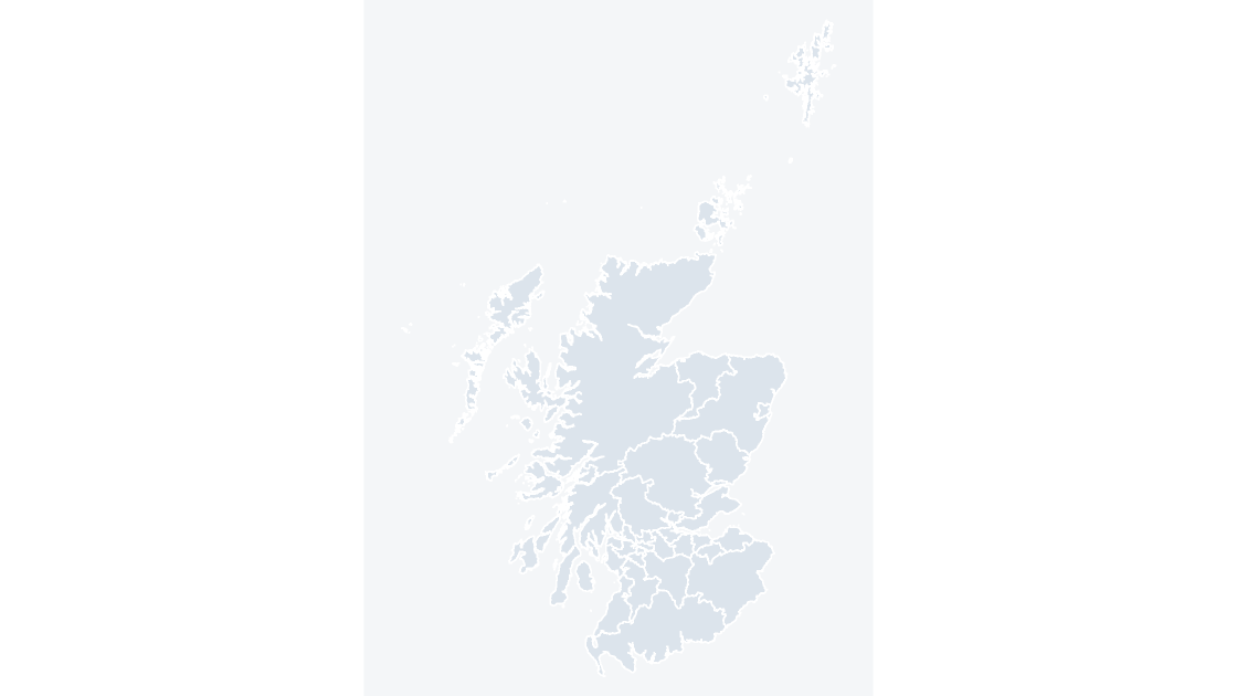 $19.99
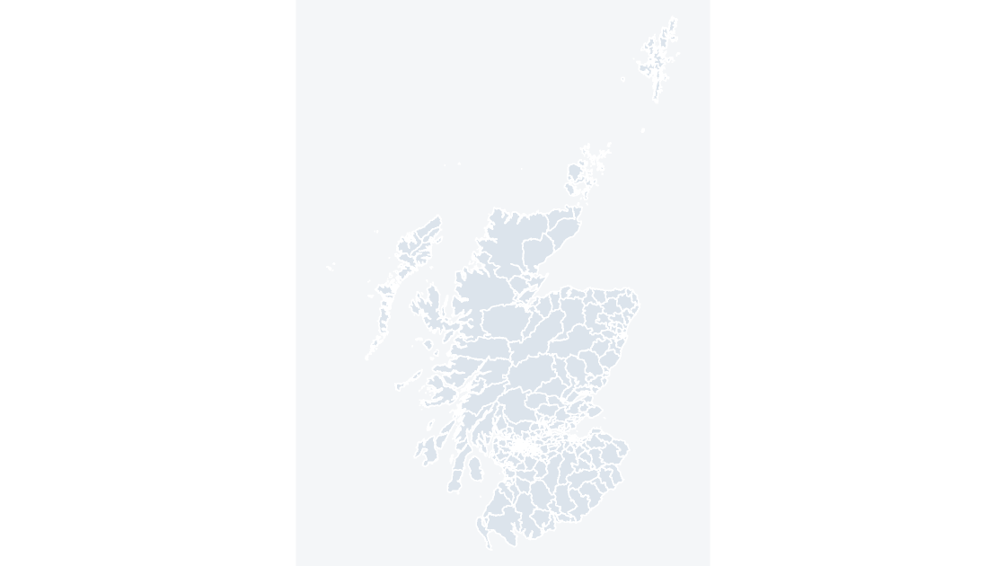
All 32 council areas in Scotland, each one its own editable shape with its GSS code.
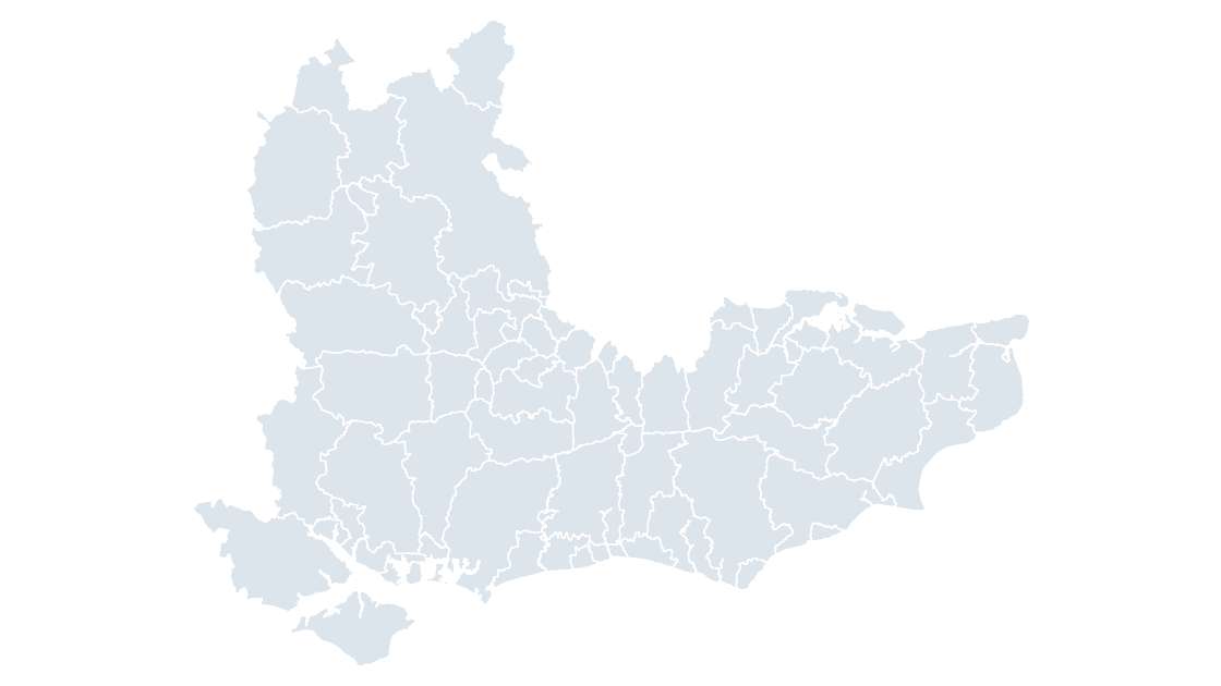 $19.99
All 64 local authority districts in South East.
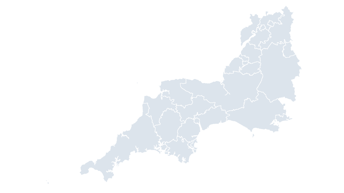 $19.99
All 27 local authority districts in South West.
 $19.99
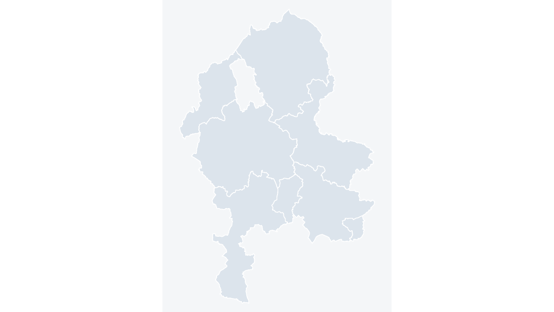
The 8 districts of Staffordshire, the tier below the county council.
 $19.99
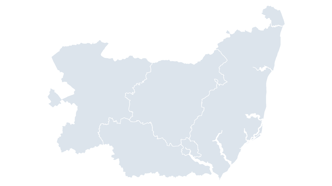
The 5 districts of Suffolk, the tier below the county council.
 $19.99
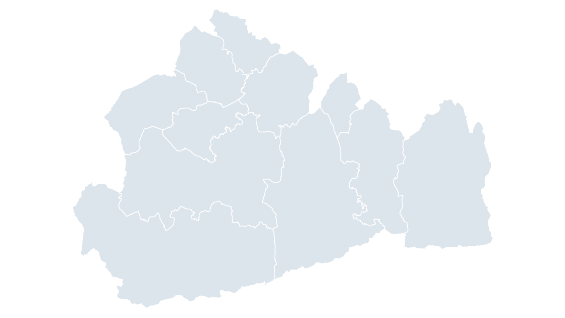
The 11 districts of Surrey, the tier below the county council.
 $19.99
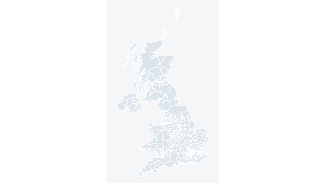
All 361 local authority districts — the finest level at which most UK administrative data is published.
 $19.99
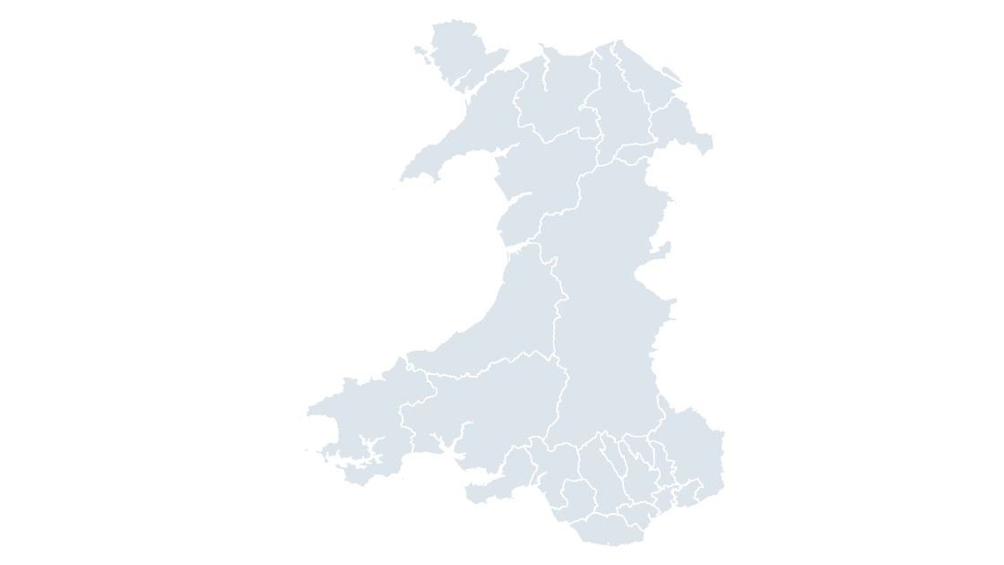
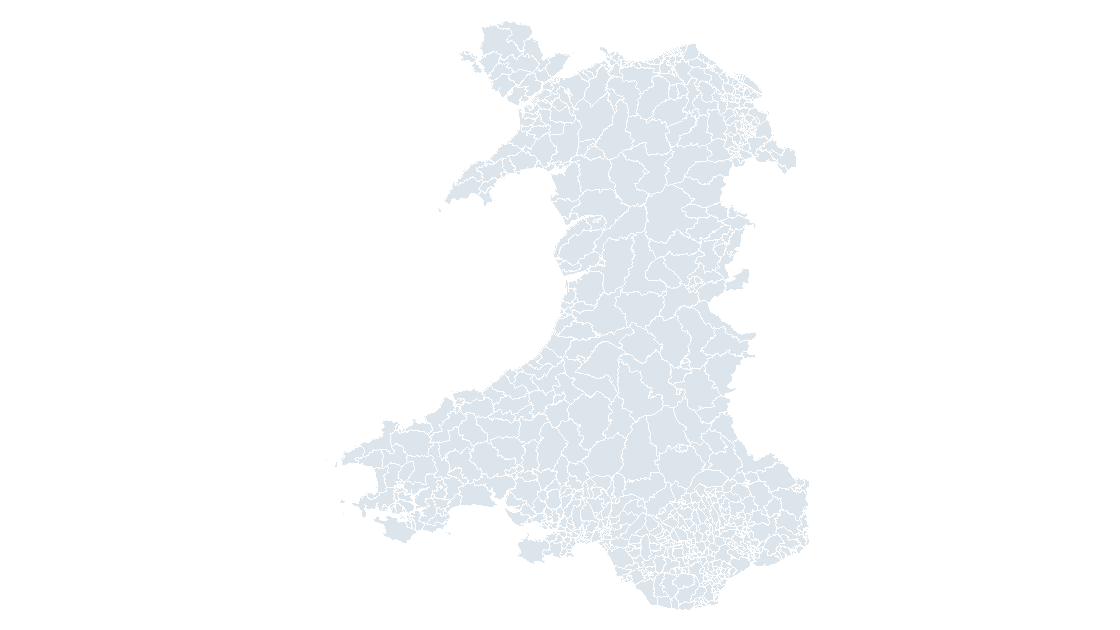
All 22 principal areas in Wales, each one its own editable shape with its GSS code.
 $19.99
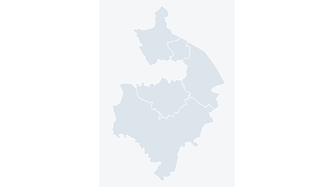
The 5 districts of Warwickshire, the tier below the county council.
 $19.99
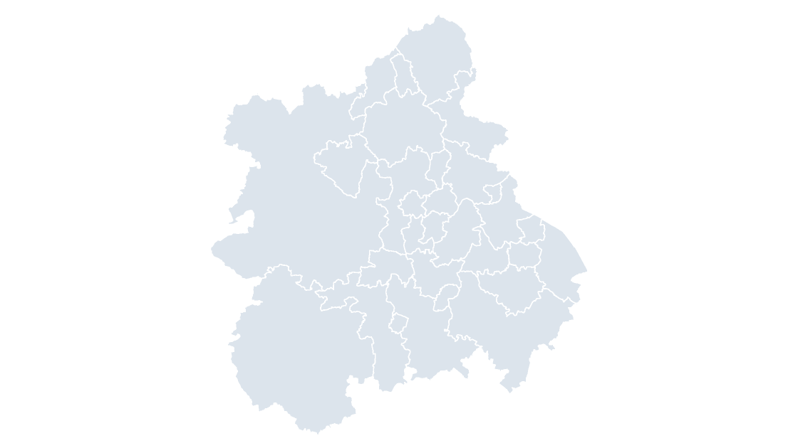
All 30 local authority districts in West Midlands.
 $19.99
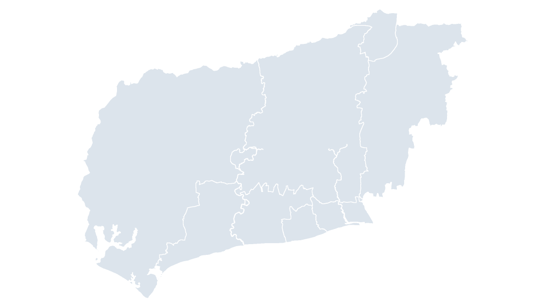
The 7 districts of West Sussex, the tier below the county council.
 $19.99
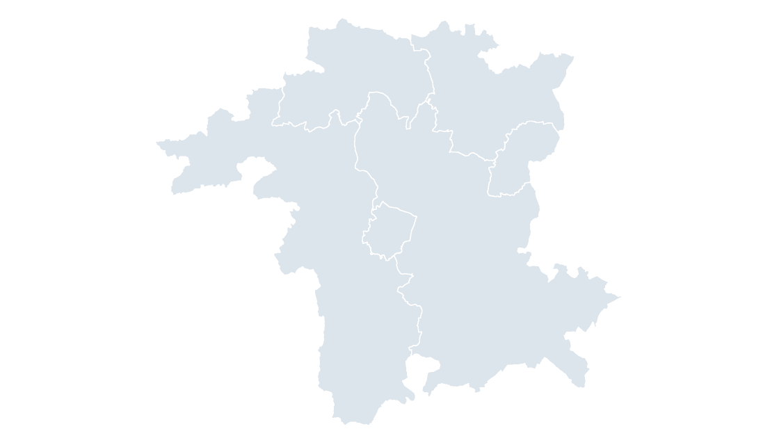
The 6 districts of Worcestershire, the tier below the county council.
 $19.99
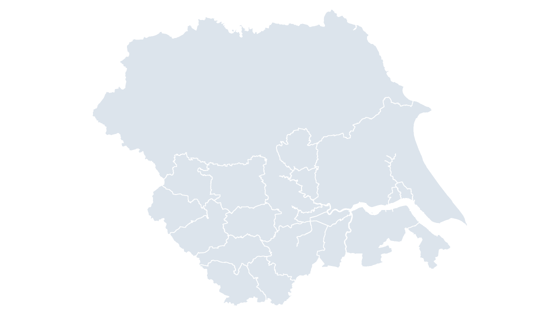
All 15 local authority districts in Yorkshire and The Humber.
 $19.99
 $19.99
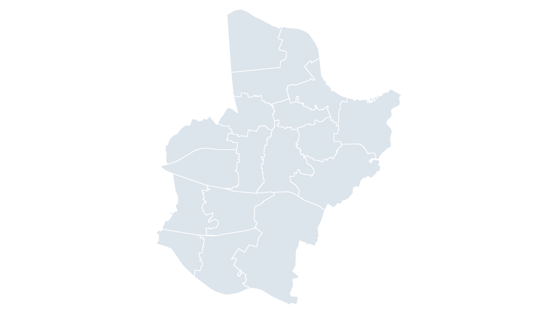 $19.99
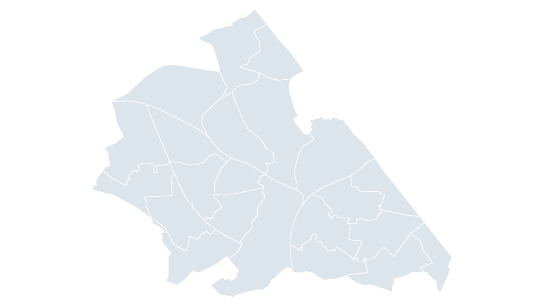 $19.99
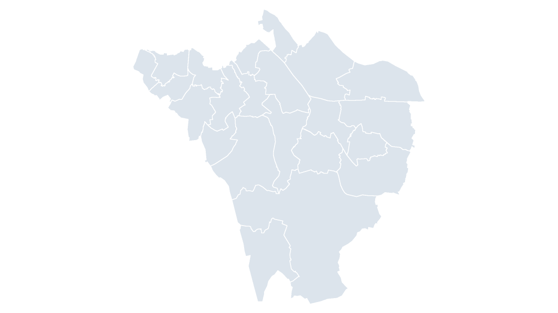 $19.99
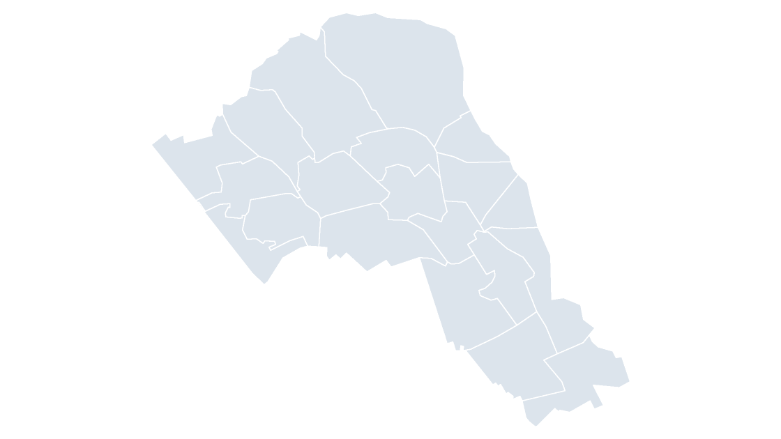 $19.99
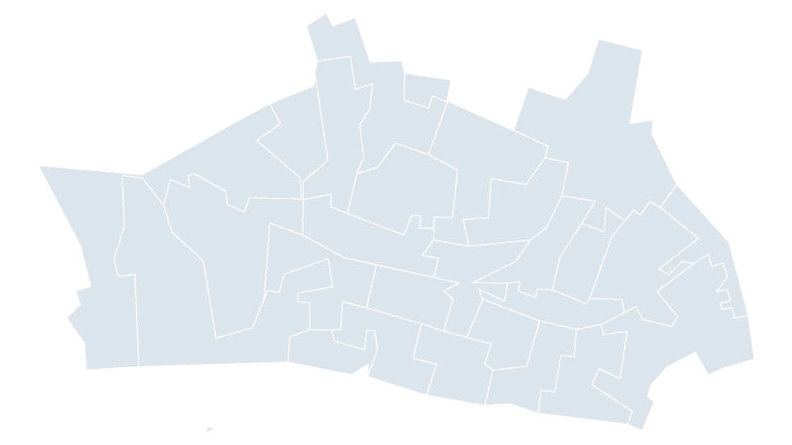 $19.99
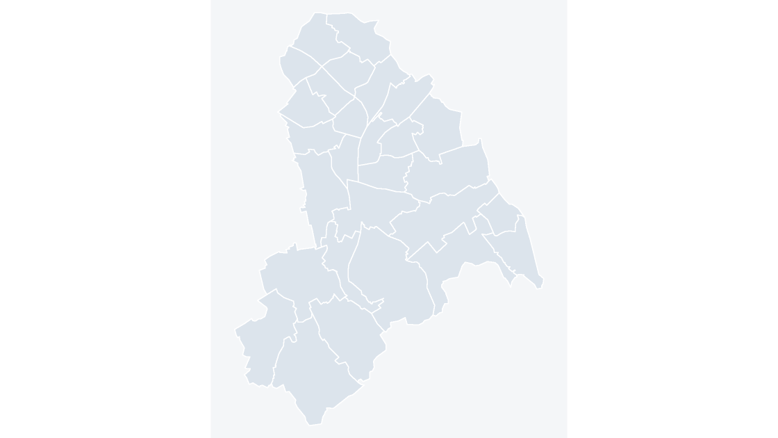 $19.99
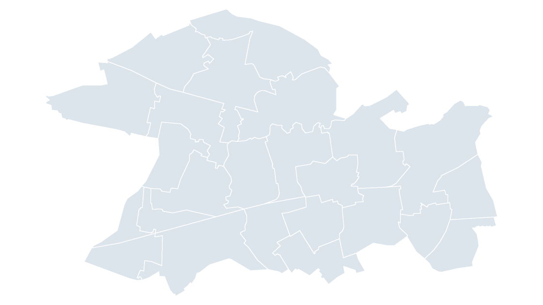 $19.99
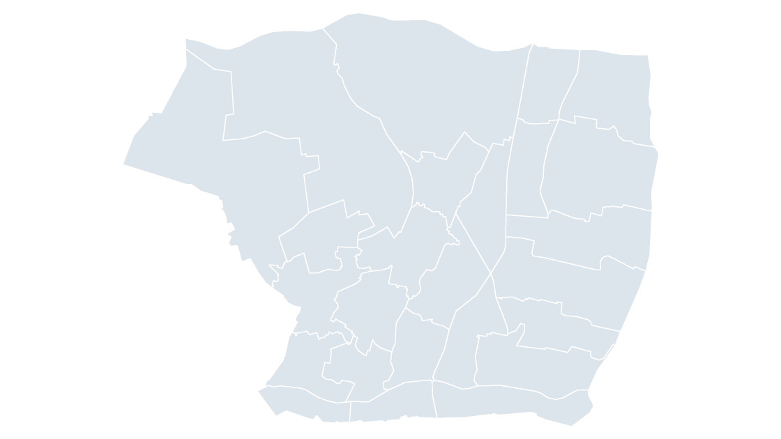 $19.99
 $19.99
 $19.99
 $19.99
 $19.99
 $19.99
 $19.99
 $19.99
 $19.99
 $19.99
 $19.99
 $19.99
 $19.99
 $19.99
 $19.99
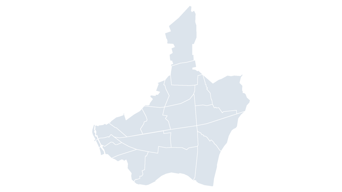
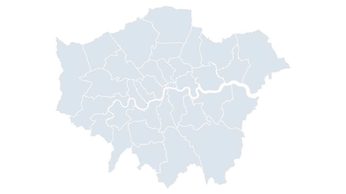
Greater London as 33 editable shapes — the 32 boroughs and the City of London.
 $19.99
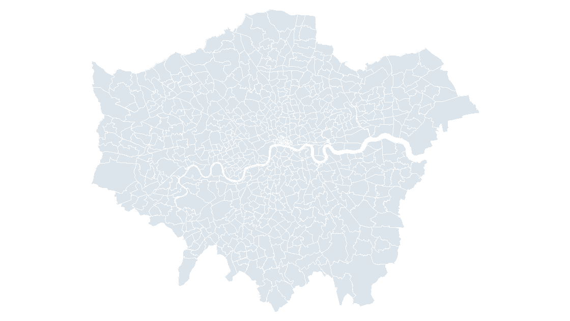
All 704 electoral wards across the 32 boroughs and the City of London, as one editable map.
 $19.99
 $19.99
 $19.99
 $19.99
 $19.99
 $19.99
 $19.99
 $19.99
 $19.99
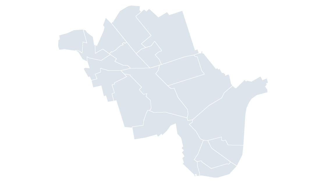 $19.99
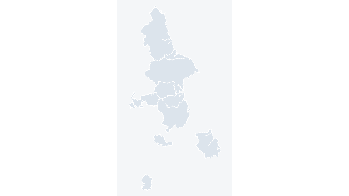 $19.99
The 11 combined authorities of England, through which groups of councils take on devolved transport, skills and investment responsibilities.
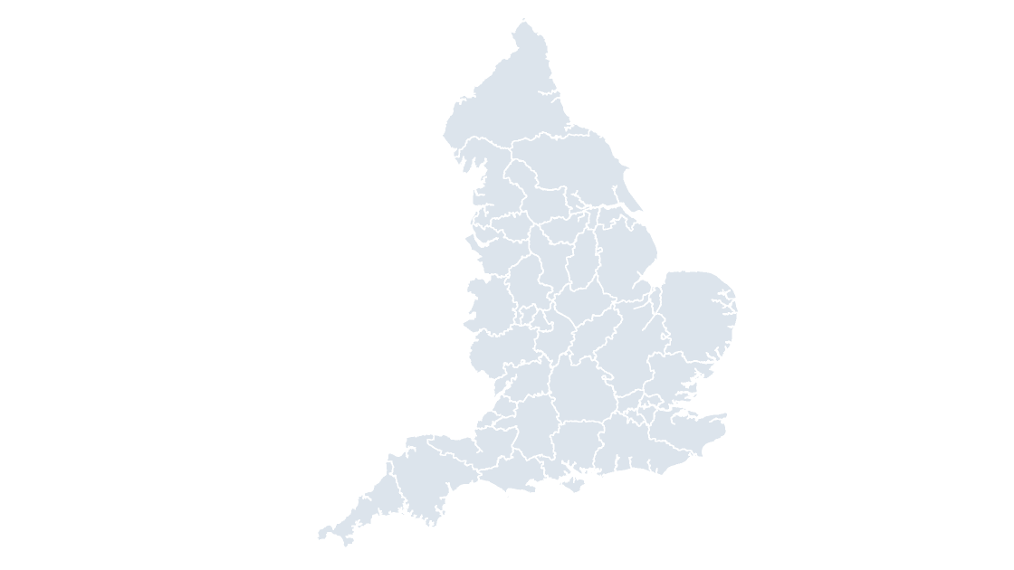 $19.99
The 36 integrated care boards that plan and fund NHS services for a defined population in England.
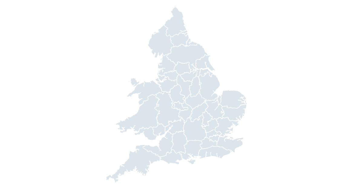 $19.99
The 43 police force areas of England and Wales, each policed by one territorial force.
 $19.99
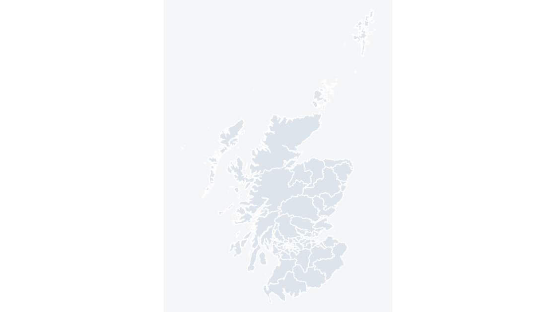
All 73 constituency seats of the Scottish Parliament at Holyrood.
 $19.99
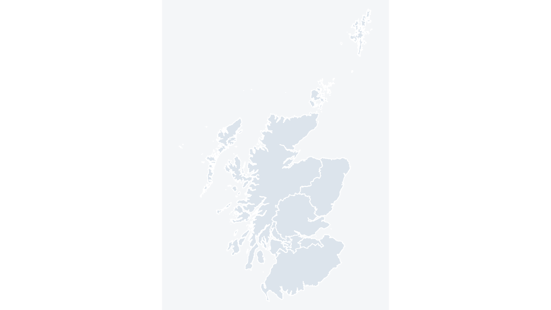
The 8 electoral regions of the Scottish Parliament, which return the regional seats.
 $19.99
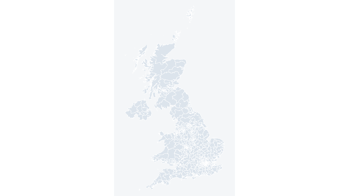
All 650 Westminster constituencies on the 2024 boundaries, ready for election, advocacy and public-affairs decks.
 $19.99
 $19.99
 $19.99
Office for National Statistics licensed under the Open Government Licence v.3.0; contains OS data © Crown copyright and database right 2026.