 $19.99
Regions
England Regions
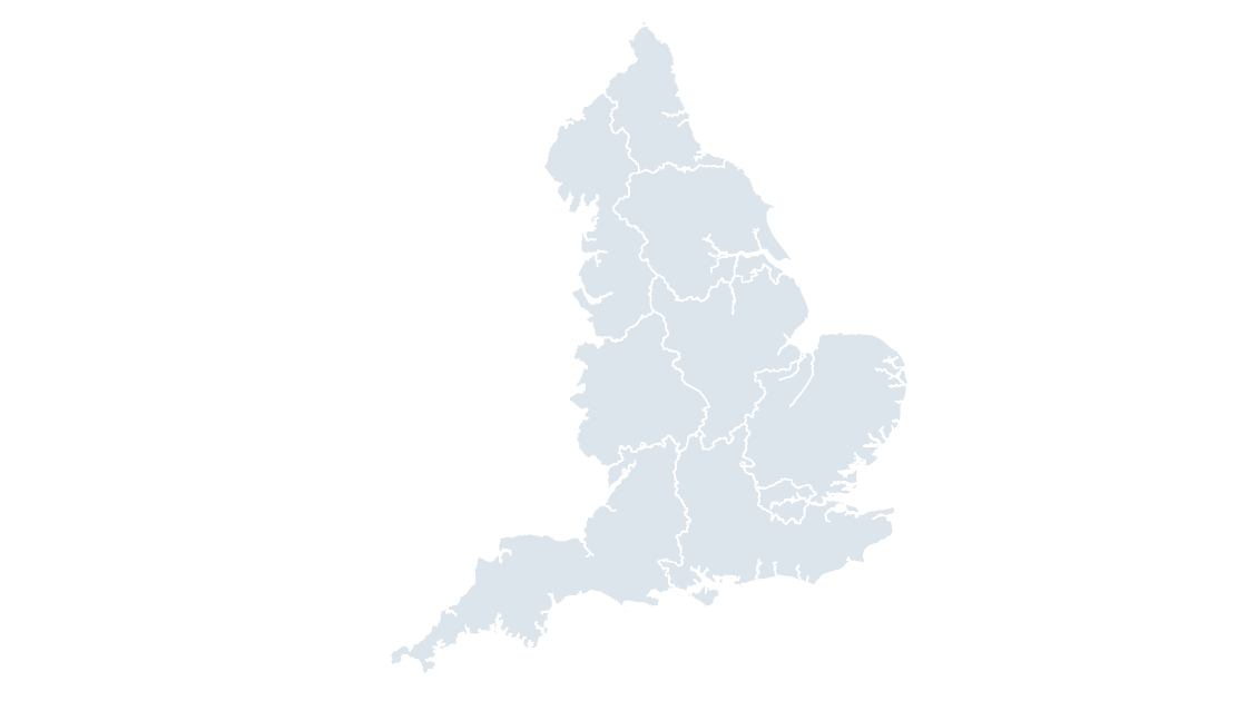
The 9 regions of England — the level most English economic, health and public-sector data is published at.
9 regions
502 KB
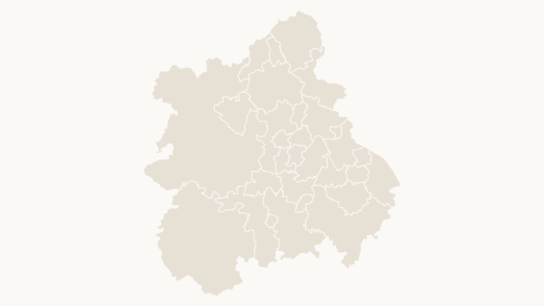
Preview shows the map slide in Editorial, Mono, Slate.
Office for National Statistics licensed under the Open Government Licence v.3.0; contains OS data © Crown copyright and database right 2026.
All 30 local authority districts in West Midlands.
Download a free sample deck — England Integrated Care Boards, all three themes, no email and no card.
One-time payment · 3 .pptx files, all themes included · 14 days refund policy · Terms and Privacy
The 30 local authority districts of West Midlands as editable shapes, each with its GSS code, with the region outline included for context.
Typical use: Regional coverage, catchment and reporting work across West Midlands.
All 30 districts are in the file:
Birmingham, Bromsgrove, Cannock Chase, Coventry, Dudley, East Staffordshire, Herefordshire, County of, Lichfield, Malvern Hills, Newcastle-under-Lyme, North Warwickshire, Nuneaton and Bedworth, Redditch, Rugby, Sandwell, Shropshire, Solihull, South Staffordshire, Stafford, Staffordshire Moorlands, Stoke-on-Trent, Stratford-on-Avon, Tamworth, Telford and Wrekin, Walsall, Warwick, Wolverhampton, Worcester, Wychavon, Wyre Forest.
| Price | $19.99, one-time payment, no subscription |
|---|---|
| Format | PowerPoint .pptx, opens natively in Keynote |
| File size | 398 KB |
| Join field | GSS code (the ONS identifier for each area) |
| Area figures | Area, km², measured from the boundary geometry |
| Boundary source | Office for National Statistics, Open Government Licence v3.0 |
| Projection | Albers equal-area conic, fitted to the UK |
| Coordinates | WGS84 longitude / latitude |
| Licence | Commercial use permitted; resale of the files is not |
| Refunds | Full refund within 14 days for any reason, and at any time if the file is defective or not as described |
$19.99
The 9 regions of England — the level most English economic, health and public-sector data is published at.
 $19.99
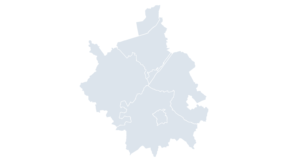
The 5 districts of Cambridgeshire, the tier below the county council.
 $19.99
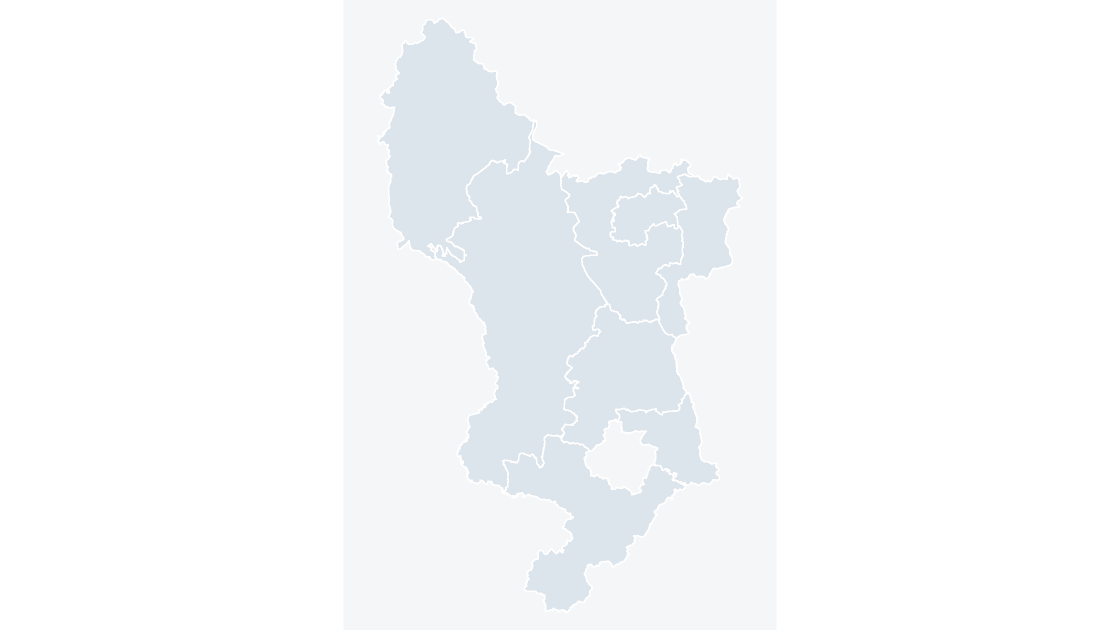
The 8 districts of Derbyshire, the tier below the county council.