How is this different from the map chart built into PowerPoint?
The map chart built into Microsoft 365 and Office 2019 or later looks places up through Bing Maps and stops at country level for the UK, so it cannot draw local authority districts, council areas or wards. These maps are ordinary PowerPoint shapes built from the ONS boundary files: nothing is looked up, every level below country is covered, and any area can be recoloured, relabelled or deleted on its own.
What does this county map show?
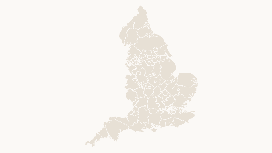
This is the unitary authority map for England. 153 counties and unitary authorities — all in England. Every one is a separate shape that can be filled, labelled or deleted on its own, and the same boundaries are used on the map, the labelled reference slide and the data slide, so nothing shifts between them.
Why are some English areas counties and others unitary authorities?
Because England still runs both arrangements side by side. Where a county council exists, this map draws the county and the district maps go below it; where one council provides every service, that authority is the whole area. The ONS groups them into a single layer so that a map of England has no gaps, and this template keeps the ONS grouping rather than redrawing the country into one kind of area.
Does this cover all of England?
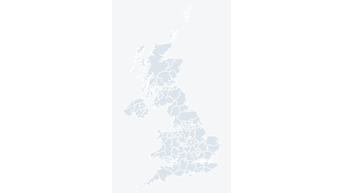
Yes — all 153 areas, with nothing dropped for legibility. The shapes together add up to England, so the map can be placed beside a UK-wide map without adjusting the projection.
What kind of data can I show on this map?
Anything published at county level: council tax, adult social care, school places, public health. Classify your figures into five bands and recolour by class — the data slide is already a five-step legend you can keep or replace — and the editing guide covers recolouring in bulk, because 153 shapes is more than anyone wants to click through one at a time.
How do I link my own data to the map?
Each shape is named after its area and carries its ONS GSS code, the identifier statistics are published against. The map uses 4 code families — E06 for the 63 unitary authorities, E08 for the 36 metropolitan districts, E09 for the 33 London boroughs and E10 for the 21 county councils. Join on the code rather than on names: authority names repeat across the UK, get respelt by different publishers, and change when councils reorganise, while the code stays with the area.
Which boundary release is this based on?
Office for National Statistics boundaries, December 2025 release, generalised and clipped to the coastline. They are published under the Open Government Licence, which permits commercial use and requires two credit lines wherever the material is reproduced — both are already printed on the source slide of every deck.
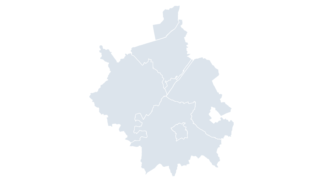
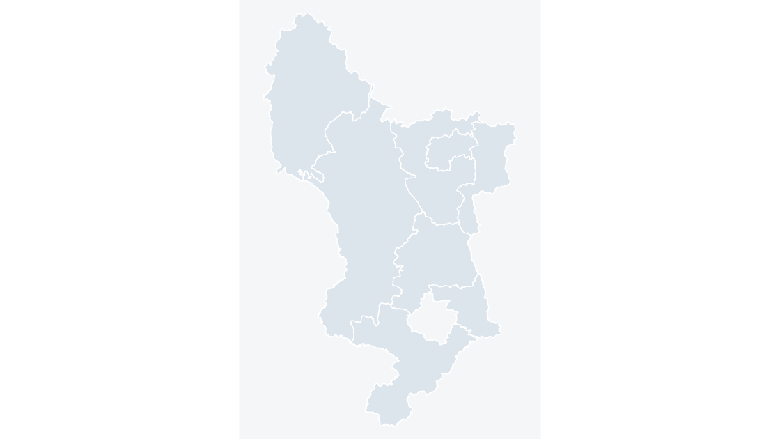
Is there a wider or a more detailed map of this area?
Who uses these maps?
Local government and public sector analysts, NHS and police planning teams, consultants and market researchers, property and site-selection teams, campaign and public affairs staff, and anyone who needs a UK map in a report, a bid or a presentation.
Does it work in Google Slides?
Yes. Upload the .pptx to Drive and open it with Google Slides. The files contain only shapes, solid fills and Arial, and no animation, SmartArt, chart or embedded media, which are the elements an importer drops or converts.
Can I print the map?
Yes. The artwork is vector, so a map stays sharp at poster size, and the themes are built so that the lightest shade still separates from the slide background in print.
 $19.99