 $19.99
UK countries
United Kingdom Countries
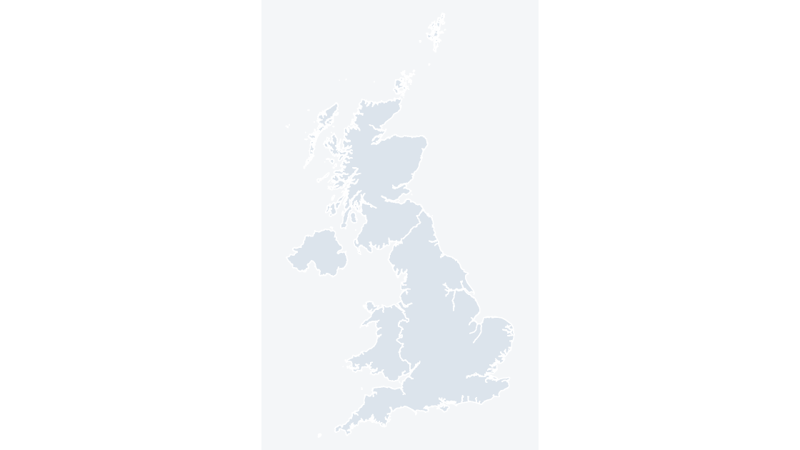
England, Scotland, Wales and Northern Ireland — 4 editable shapes, the first level every UK dataset is published at.
4 countries
521 KB
Preview shows the map slide in Editorial, Mono, Slate.
Office for National Statistics licensed under the Open Government Licence v.3.0; contains OS data © Crown copyright and database right 2026.
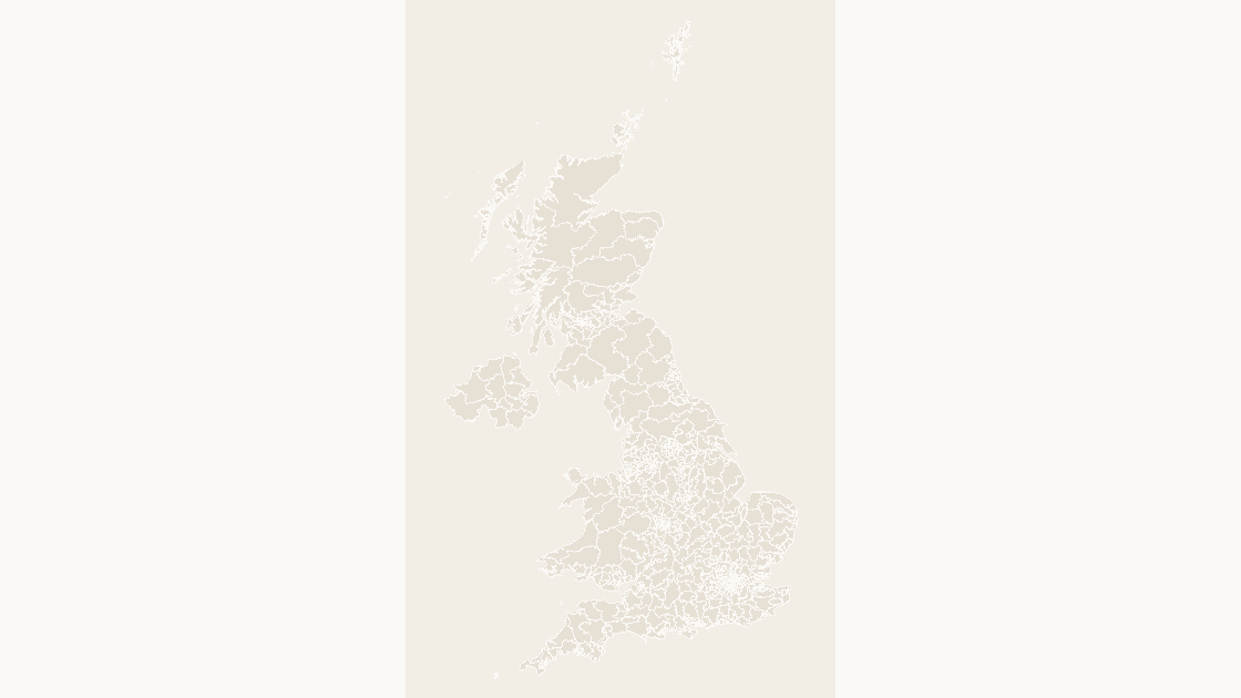
All 650 Westminster constituencies on the 2024 boundaries, ready for election, advocacy and public-affairs decks.
Download a free sample deck — England Integrated Care Boards, all three themes, no email and no card.
One-time payment · 3 .pptx files, all themes included · 14 days refund policy · Terms and Privacy
All 650 Westminster parliamentary constituencies as editable shapes, on the boundaries first used at the 2024 general election. Election results and constituency-level figures join to the shapes on the GSS code.
Typical use: Election analysis, public affairs, advocacy and constituency level reporting.
650 in total, every one a separate named shape.
The full list is on the reference slide of the file, and in the Selection Pane of any slide that shows the map.
| Price | $19.99, one-time payment, no subscription |
|---|---|
| Format | PowerPoint .pptx, opens natively in Keynote |
| File size | 1.67 MB |
| Join field | GSS code (the ONS identifier for each area) |
| Area figures | Area, km², measured from the boundary geometry |
| Boundary source | Office for National Statistics, Open Government Licence v3.0 |
| Projection | Albers equal-area conic, fitted to the UK |
| Coordinates | WGS84 longitude / latitude |
| Licence | Commercial use permitted; resale of the files is not |
| Refunds | Full refund within 14 days for any reason, and at any time if the file is defective or not as described |
$19.99
England, Scotland, Wales and Northern Ireland — 4 editable shapes, the first level every UK dataset is published at.