 $19.99
London
London Boroughs
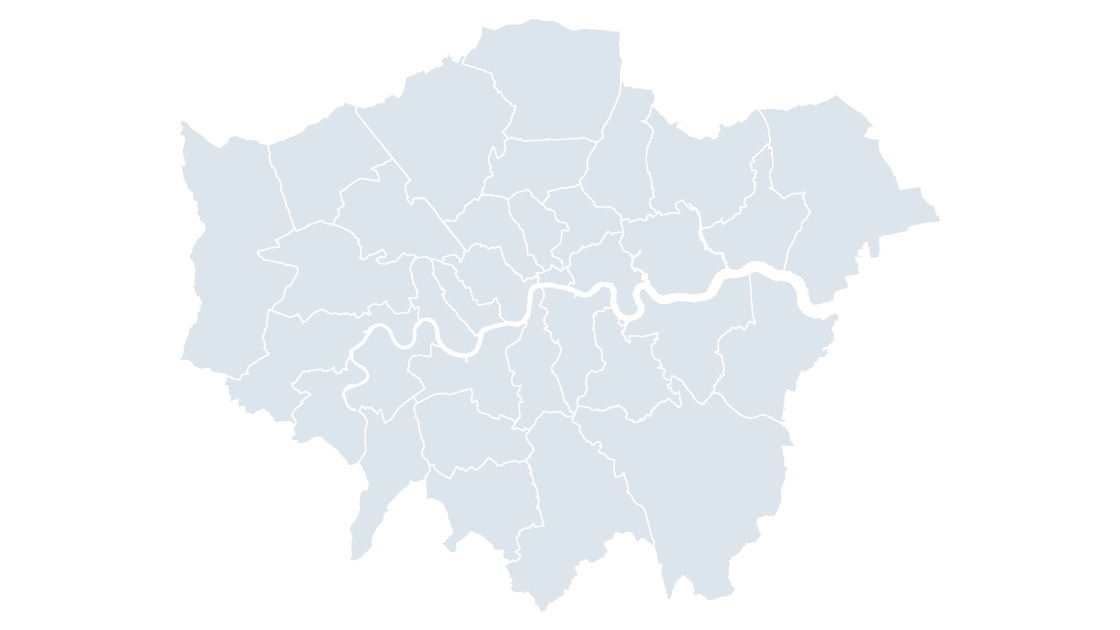
Greater London as 33 editable shapes — the 32 boroughs and the City of London.
33 London authorities
235 KB
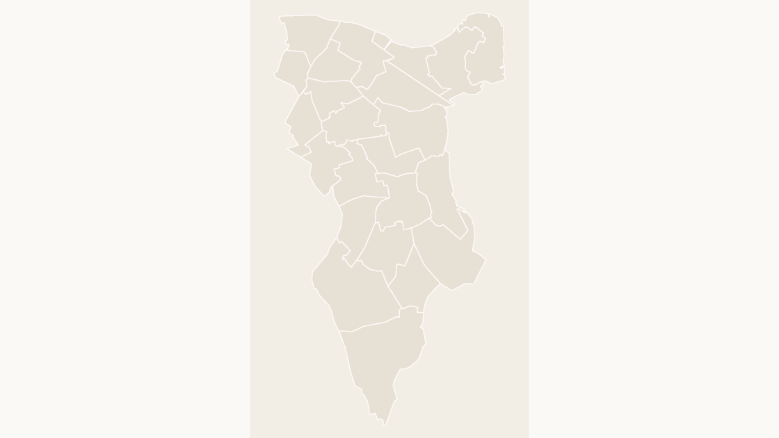
Preview shows the map slide in Editorial, Mono, Slate.
Office for National Statistics licensed under the Open Government Licence v.3.0; contains OS data © Crown copyright and database right 2026.
All 23 wards of Southwark.
Download a free sample deck — England Integrated Care Boards, all three themes, no email and no card.
One-time payment · 3 .pptx files, all themes included · 14 days refund policy · Terms and Privacy
The 23 wards of Southwark as editable shapes, each with its GSS code, with the borough outline included for context.
Typical use: Ward-level coverage and local reporting in Southwark.
All 23 wards are in the file:
Borough & Bankside, Camberwell Green, Champion Hill, Chaucer, Dulwich Hill, Dulwich Village, Dulwich Wood, Faraday, Goose Green, London Bridge & West Bermondsey, Newington, North Bermondsey, North Walworth, Nunhead & Queen's Road, Old Kent Road, Peckham, Peckham Rye, Rotherhithe, Rye Lane, South Bermondsey, St George's, St Giles, Surrey Docks.
| Price | $19.99, one-time payment, no subscription |
|---|---|
| Format | PowerPoint .pptx, opens natively in Keynote |
| File size | 56 KB |
| Join field | GSS code (the ONS identifier for each area) |
| Area figures | Area, km², measured from the boundary geometry |
| Boundary source | Office for National Statistics, Open Government Licence v3.0 |
| Projection | Albers equal-area conic, fitted to the UK |
| Coordinates | WGS84 longitude / latitude |
| Licence | Commercial use permitted; resale of the files is not |
| Refunds | Full refund within 14 days for any reason, and at any time if the file is defective or not as described |
$19.99
Greater London as 33 editable shapes — the 32 boroughs and the City of London.
 $19.99
 $19.99