GeoSlides
Market: United Kingdom
Browse templates
United Kingdom/ Templates/England & Wales Police Force Areas
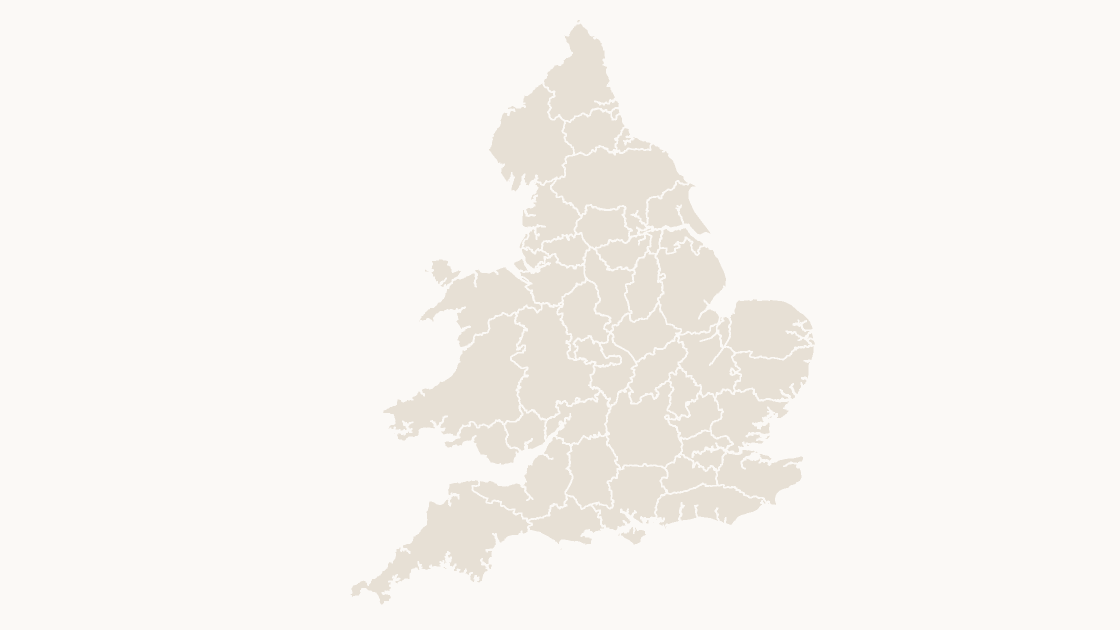
England & Wales Police Force Areas map preview in the editorial theme

Preview shows the map slide in Editorial, Mono, Slate.

Every template has the same eight slides

  1. Cover — the map's name and theme, on a slide you can put your own title over.
  2. Editing guide — ungroup, recolour, regroup, in three steps and without plugins.
  3. The map — every area at one flat colour, the blank starting point for your own shading.
  4. Reference map — all 43 police force areas named, each carrying its GSS code, so nothing has to be looked up.
  5. Data map — five shaded classes and a legend, ready for your own figures instead of the sample ones.
  6. Spotlight — the largest few by area emphasised and the rest muted, for a single clear point.
  7. Working with the data — a data hand-off table.
  8. Source and licence — the boundary release, the publisher and the licence, printed on the slide so the deck carries its own provenance.

Office for National Statistics licensed under the Open Government Licence v.3.0; contains OS data © Crown copyright and database right 2026.

$19.99 · all three themes Public services

Editable England & Wales Police Force Areas Map Template

The 43 police force areas of England and Wales, each policed by one territorial force.

How to edit

Download a free sample deck — England Integrated Care Boards, all three themes, no email and no card.

One-time payment · 3 .pptx files, all themes included · 14 days refund policy · Terms and Privacy

43 police force areasGeography
43Editable shapes
8Slides
3Themes
About this template

Every police force area in England and Wales — 43 areas. Most follow county boundaries, but several do not, and the Metropolitan Police area is smaller than Greater London because the City of London is policed separately.

Typical use: Crime statistics, force-level performance reporting and coverage maps for anything published by police force area.

Purchase terms

  • $19.99, one-time payment. There is no subscription and no further charge.
  • Immediate delivery. The download link is issued as soon as payment is confirmed. It keeps working, and a fresh one can be fetched at any time from the find-my-download page.
  • 14 days refunds. A refund may be requested within 14 days for any reason, whether or not the file has been downloaded. See the refund policy.
  • Commercial use. Use in any number of presentations, commercial or internal. Resale or redistribution of the file is not permitted.
  • Credit. The Open Government Licence requires the two credit lines wherever the boundaries are reproduced. Both are already on the source slide of every deck.
  • Payment. Handled by Waffo Pancake as merchant of record, which also collects any applicable tax.
Areas included

All 43 police force areas are in the file:

Avon and Somerset, Bedfordshire, Cambridgeshire, Cheshire, Cleveland, Cumbria, Derbyshire, Devon & Cornwall, Dorset, Durham, Dyfed-Powys, Essex, Gloucestershire, Greater Manchester, Gwent, Hampshire, Hertfordshire, Humberside, Kent, Lancashire, Leicestershire, Lincolnshire, London, City of, Merseyside, Metropolitan Police, Norfolk, North Wales, North Yorkshire, Northamptonshire, Northumbria, Nottinghamshire, South Wales, South Yorkshire, Staffordshire, Suffolk, Surrey, Sussex, Thames Valley, Warwickshire, West Mercia, West Midlands, West Yorkshire, Wiltshire.

Specification
Price$19.99, one-time payment, no subscription
FormatPowerPoint .pptx, opens natively in Keynote
File size807 KB
Join fieldGSS code (the ONS identifier for each area)
Area figuresArea, km², measured from the boundary geometry
Boundary sourceOffice for National Statistics, Open Government Licence v3.0
ProjectionAlbers equal-area conic, fitted to the UK
CoordinatesWGS84 longitude / latitude
LicenceCommercial use permitted; resale of the files is not
RefundsFull refund within 14 days for any reason, and at any time if the file is defective or not as described
Questions

England & Wales Police Force Areas — questions before you buy

How is this different from the map chart built into PowerPoint?
The map chart built into Microsoft 365 and Office 2019 or later looks places up through Bing Maps and stops at country level for the UK, so it cannot draw local authority districts, council areas or wards. These maps are ordinary PowerPoint shapes built from the ONS boundary files: nothing is looked up, every level below country is covered, and any area can be recoloured, relabelled or deleted on its own.
What does this police force area map show?
This is the police force area map of England and Wales. 43 police force areas — 39 in England and 4 in Wales. Every one is a separate shape that can be filled, labelled or deleted on its own, and the same boundaries are used on the map, the labelled reference slide and the data slide, so nothing shifts between them.
Do these cover the whole of the UK?
No — police force areas are England and Wales. Scotland has one national force and Northern Ireland its own service, so neither has a set of force areas to draw. This map covers all 43 forces in England and Wales, the geography crime figures are published against.
What kind of data can I show on this map?
Anything published at police force area level: recorded crime, force budgets and staffing, or police and crime plan targets. Classify your figures into five bands and recolour by class — the data slide is already a five-step legend you can keep or replace — and the data hand-off slide lists every GSS code against its area name, ready to paste your figures next to.
How do I link my own data to the map?
Each shape is named after its area and carries its ONS GSS code, the identifier statistics are published against. The map uses 2 code families — E23 for the 39 in England and W15 for the 4 in Wales. Join on the code rather than on names: authority names repeat across the UK, get respelt by different publishers, and change when councils reorganise, while the code stays with the area.
Which boundary release is this based on?
Office for National Statistics boundaries, December 2024 release, generalised and clipped to the coastline. They are published under the Open Government Licence, which permits commercial use and requires two credit lines wherever the material is reproduced — both are already printed on the source slide of every deck.
Is there a wider or a more detailed map of this area?
The United Kingdom Countries map is the wider view.
What does it cost, and are refunds available?
Each template costs $19.99 as a one-time payment, with no subscription and nothing that renews. A refund may be requested within 14 days for any reason, whether or not the file has been downloaded. The refund policy is a few paragraphs long.
Does it need an internet connection?
No. The boundaries are stored in the file as shapes, so nothing is looked up when you open or edit it.
Does it work in Google Slides?
Yes. Upload the .pptx to Drive and open it with Google Slides. The files contain only shapes, solid fills and Arial, and no animation, SmartArt, chart or embedded media, which are the elements an importer drops or converts.
Keep exploring

Related UK templates

United Kingdom Countries map preview $19.99
UK countries

United Kingdom Countries

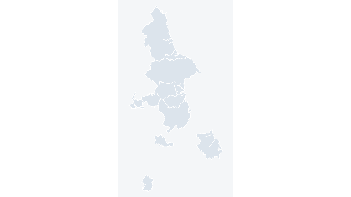
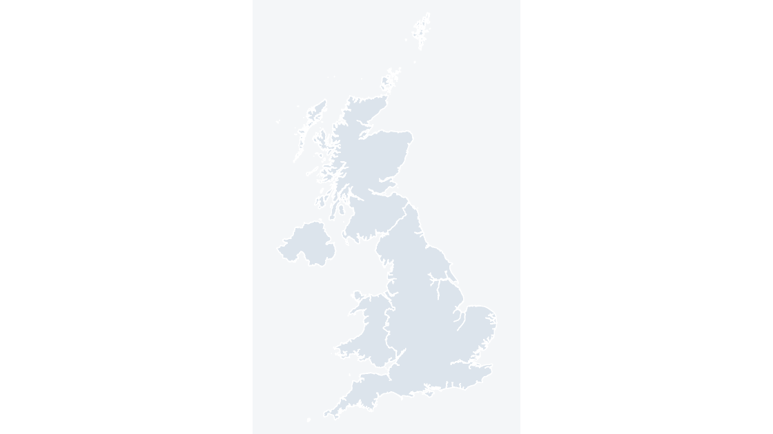
England, Scotland, Wales and Northern Ireland — 4 editable shapes, the first level every UK dataset is published at.

4 countries 521 KB
England Combined Authorities map preview $19.99
Public services

England Combined Authorities

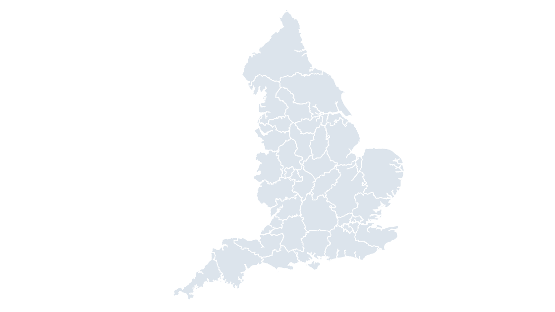
The 11 combined authorities of England, through which groups of councils take on devolved transport, skills and investment responsibilities.
11 combined authorities 195 KB
England Integrated Care Boards map preview $19.99
Public services

England Integrated Care Boards

The 36 integrated care boards that plan and fund NHS services for a defined population in England.

36 integrated care boards 686 KB