 $19.99
UK countries
United Kingdom Countries
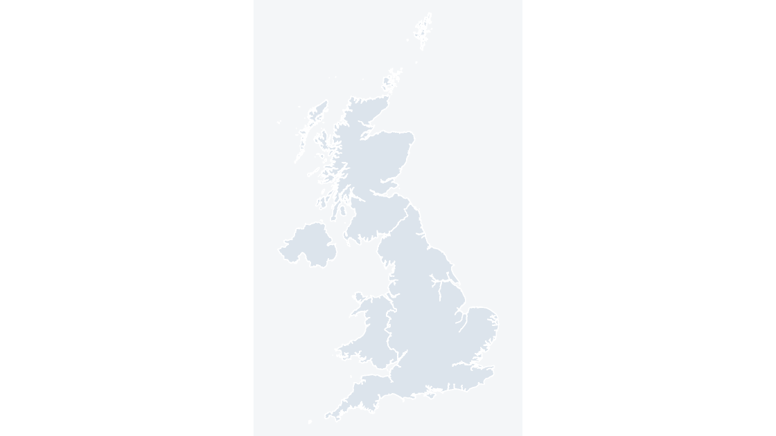
England, Scotland, Wales and Northern Ireland — 4 editable shapes, the first level every UK dataset is published at.
4 countries
521 KB
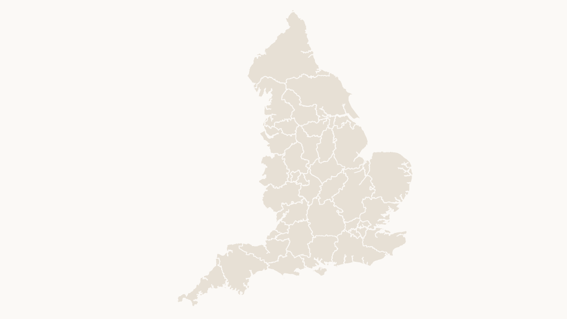
Preview shows the map slide in Editorial, Mono, Slate.
Office for National Statistics licensed under the Open Government Licence v.3.0; contains OS data © Crown copyright and database right 2026.
The 36 integrated care boards that plan and fund NHS services for a defined population in England.
Download a free sample deck — England Integrated Care Boards, all three themes, no email and no card.
One-time payment · 3 .pptx files, all themes included · 14 days refund policy · Terms and Privacy
The 36 integrated care boards of England as editable shapes. Each covers a defined population and commissions most NHS services for it, so board boundaries cut across counties and council areas rather than following them.
Typical use: Health service planning, provider coverage and any figure reported by integrated care board.
All 36 integrated care boards are in the file:
NHS Bath and North East Somerset, Swindon and Wiltshire Integrated Care Board, NHS Birmingham and Solihull Integrated Care Board, NHS Black Country Integrated Care Board, NHS Bristol, North Somerset and South Gloucestershire Integrated Care Board, NHS Central East Integrated Care Board, NHS Cheshire and Merseyside Integrated Care Board, NHS Cornwall and the Isles of Scilly Integrated Care Board, NHS Coventry and Warwickshire Integrated Care Board, NHS Derby and Derbyshire Integrated Care Board, NHS Devon Integrated Care Board, NHS Dorset Integrated Care Board, NHS Essex Integrated Care Board, NHS Gloucestershire Integrated Care Board, NHS Greater Manchester Integrated Care Board, NHS Hampshire and Isle of Wight Integrated Care Board, NHS Herefordshire and Worcestershire Integrated Care Board, NHS Humber and North Yorkshire Integrated Care Board, NHS Kent and Medway Integrated Care Board, NHS Lancashire and South Cumbria Integrated Care Board, NHS Leicester, Leicestershire and Rutland Integrated Care Board, NHS Lincolnshire Integrated Care Board, NHS Norfolk and Suffolk Integrated Care Board, NHS North East and North Cumbria Integrated Care Board, NHS North East London Integrated Care Board, NHS Northamptonshire Integrated Care Board, NHS Nottingham and Nottinghamshire Integrated Care Board, NHS Shropshire, Telford and Wrekin Integrated Care Board, NHS Somerset Integrated Care Board, NHS South East London Integrated Care Board, NHS South West London Integrated Care Board, NHS South Yorkshire Integrated Care Board, NHS Staffordshire and Stoke-on-Trent Integrated Care Board, NHS Surrey and Sussex Integrated Care Board, NHS Thames Valley Integrated Care Board, NHS West and North London Integrated Care Board, NHS West Yorkshire Integrated Care Board.
| Price | $19.99, one-time payment, no subscription |
|---|---|
| Format | PowerPoint .pptx, opens natively in Keynote |
| File size | 686 KB |
| Join field | GSS code (the ONS identifier for each area) |
| Area figures | Area, km², measured from the boundary geometry |
| Boundary source | Office for National Statistics, Open Government Licence v3.0 |
| Projection | Albers equal-area conic, fitted to the UK |
| Coordinates | WGS84 longitude / latitude |
| Licence | Commercial use permitted; resale of the files is not |
| Refunds | Full refund within 14 days for any reason, and at any time if the file is defective or not as described |
$19.99
England, Scotland, Wales and Northern Ireland — 4 editable shapes, the first level every UK dataset is published at.
 $19.99
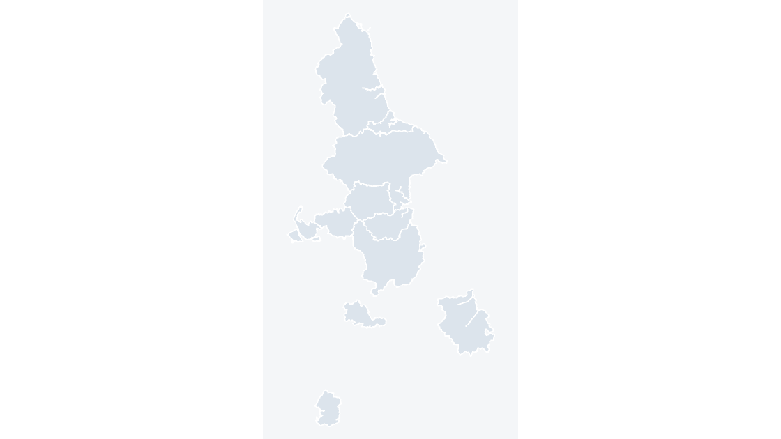
The 11 combined authorities of England, through which groups of councils take on devolved transport, skills and investment responsibilities.
 $19.99
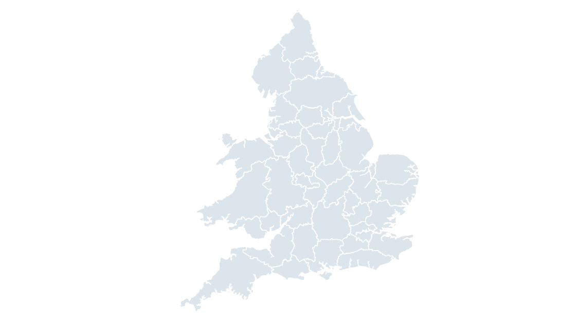
The 43 police force areas of England and Wales, each policed by one territorial force.