 $19.99
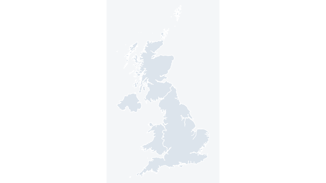
UK countries
United Kingdom Countries
England, Scotland, Wales and Northern Ireland — 4 editable shapes, the first level every UK dataset is published at.
4 countries
521 KB
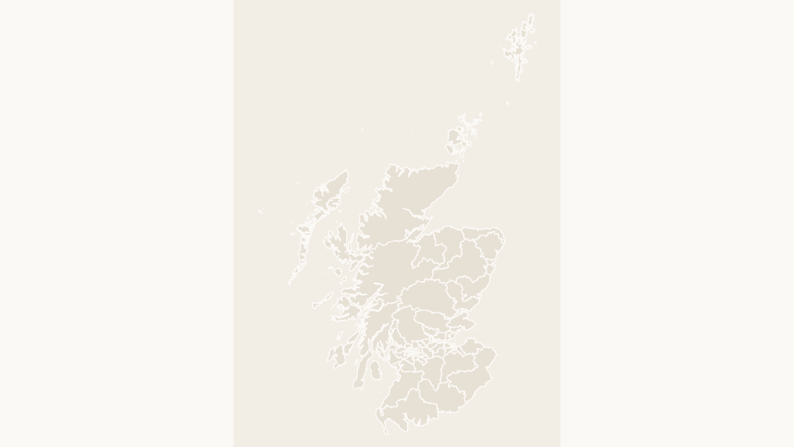
Preview shows the map slide in Editorial, Mono, Slate.
Office for National Statistics licensed under the Open Government Licence v.3.0; contains OS data © Crown copyright and database right 2026.
All 73 constituency seats of the Scottish Parliament at Holyrood.
Download a free sample deck — England Integrated Care Boards, all three themes, no email and no card.
One-time payment · 3 .pptx files, all themes included · 14 days refund policy · Terms and Privacy
The 73 constituency seats of the Scottish Parliament, each carrying its GSS code. They cover different ground from the Westminster constituencies over Scotland, which is the distinction that goes wrong most often when Scottish election data is mapped.
Typical use: Scottish election analysis, constituency-level reporting and public affairs work.
73 in total, every one a separate named shape.
The full list is on the reference slide of the file, and in the Selection Pane of any slide that shows the map.
| Price | $19.99, one-time payment, no subscription |
|---|---|
| Format | PowerPoint .pptx, opens natively in Keynote |
| File size | 800 KB |
| Join field | GSS code (the ONS identifier for each area) |
| Area figures | Area, km², measured from the boundary geometry |
| Boundary source | Office for National Statistics, Open Government Licence v3.0 |
| Projection | Albers equal-area conic, fitted to the UK |
| Coordinates | WGS84 longitude / latitude |
| Licence | Commercial use permitted; resale of the files is not |
| Refunds | Full refund within 14 days for any reason, and at any time if the file is defective or not as described |
$19.99
England, Scotland, Wales and Northern Ireland — 4 editable shapes, the first level every UK dataset is published at.
 $19.99
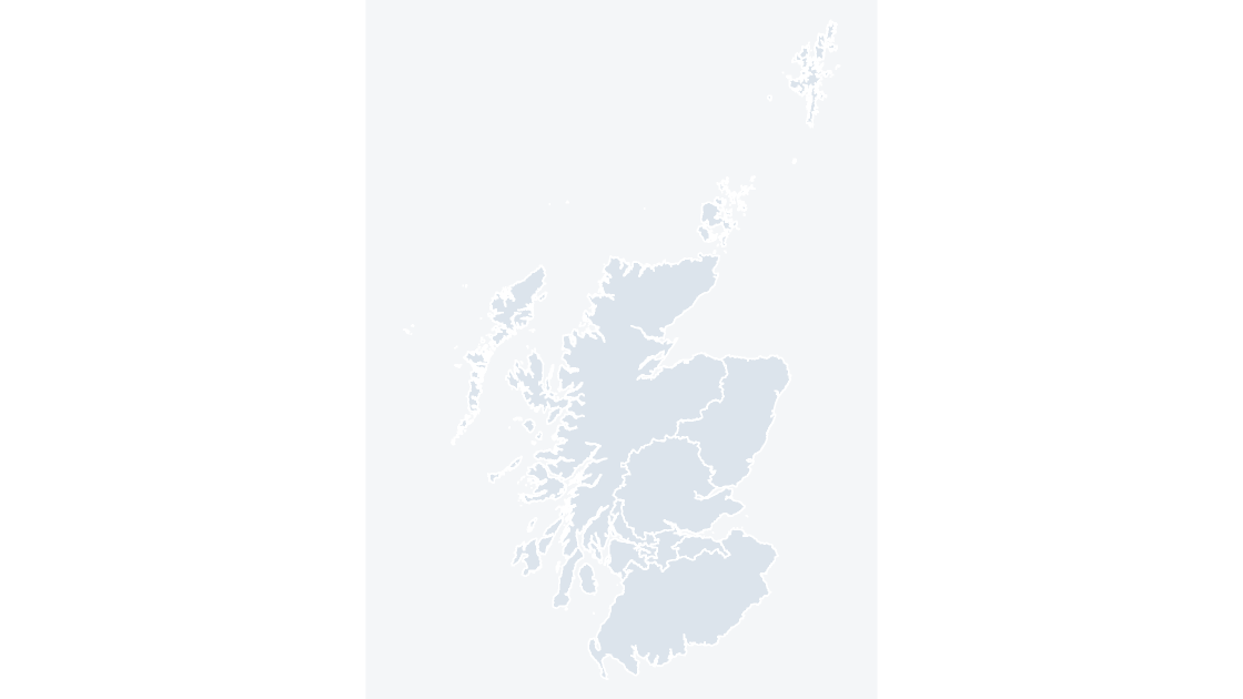
The 8 electoral regions of the Scottish Parliament, which return the regional seats.