GeoSlides
Market: United Kingdom
Browse templates
United Kingdom

UK maps your team can edit

Every country, county, council area and constituency is a native vector shape rather than an image. Ungroup the map to recolour a single area, or join your own figures to the shapes on their GSS code. No add-in and no additional software is required.

82Templates
246Presentations
9Geographies
3Themes
England, Scotland, Wales and Northern Ireland Map of the United Kingdom showing England, Scotland, Wales and Northern Ireland
What is included

82 UK map templates

Covering every level the ONS publishes: nations, regions, counties, districts and wards, alongside the Westminster and Scottish Parliament constituencies, the integrated care boards and the police force areas. Every template is a UK map for PowerPoint, Keynote and Google Slides, and ungroups into separately editable areas.

United Kingdom Countries map preview $19.99
UK countries

United Kingdom Countries

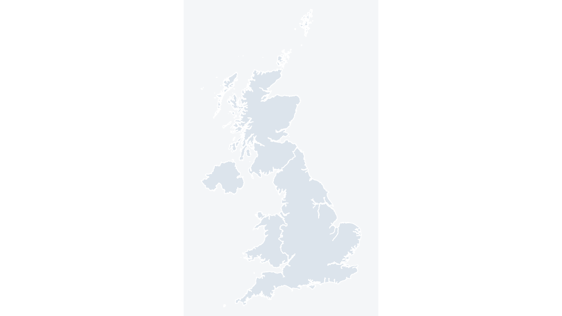
England, Scotland, Wales and Northern Ireland — 4 editable shapes, the first level every UK dataset is published at.
4 countries 521 KB
England Regions map preview $19.99
Regions

England Regions

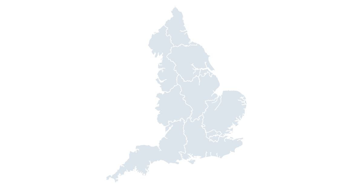
The 9 regions of England — the level most English economic, health and public-sector data is published at.
9 regions 502 KB
England Counties & Unitary Authorities map preview $19.99
Counties

England Counties & Unitary Authorities

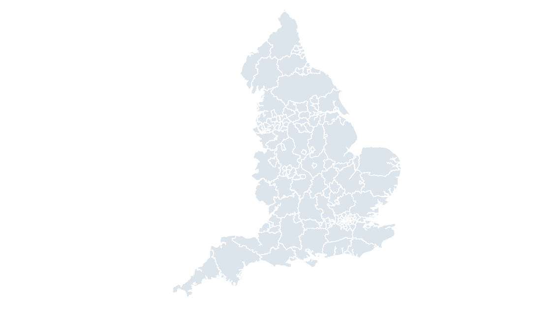
All 153 English counties and unitary authorities — the level above districts, and the one most published statistics use.
153 counties and unitary authorities 947 KB
United Kingdom Counties & Unitary Authorities map preview $19.99
Counties

United Kingdom Counties & Unitary Authorities

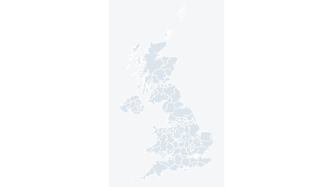
All 218 counties and unitary authorities across the four nations, each one a separate editable shape with its own GSS code.
218 counties and unitary authorities 1.05 MB
Cambridgeshire Districts map preview $19.99
Districts

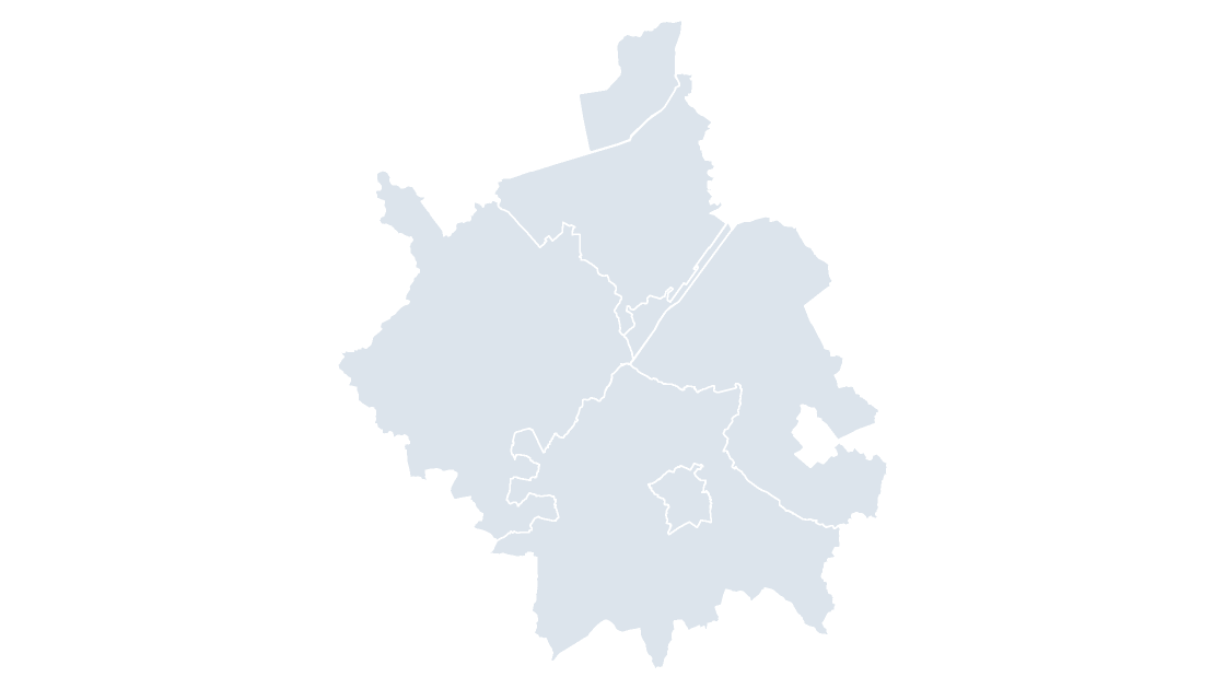
Cambridgeshire Districts

The 5 districts of Cambridgeshire, the tier below the county council.
5 districts 125 KB
Derbyshire Districts map preview $19.99
Districts

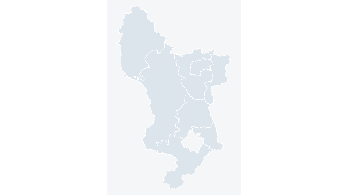
Derbyshire Districts

The 8 districts of Derbyshire, the tier below the county council.

8 districts 172 KB

See all 82 UK templates

Why these are different

Every area is an editable shape

A picture of a map is no use once the figures behind it change. These are vector shapes labelled with their area names, so a colour can be changed in seconds.

Named and coded

Each shape carries its GSS code, the Office for National Statistics' own identifier, and its area name. Open the Selection Pane and the shapes are listed by name rather than as Freeform 138.

Official boundaries

Built from the ONS Open Geography Portal boundaries, so the geography matches the releases UK statistics are actually published against.

Right names for each nation

Scotland's areas are called council areas, Wales's are principal areas, and England and Northern Ireland have districts. The decks use the local name, not one word for all four.

Licence

Commercial use, and the credit that comes with it

The boundaries are published under the Open Government Licence, which permits commercial use. It also requires two credit lines wherever the material is reproduced, so both are already printed on the source slide of every deck and need no work from you.

  • Source: Office for National Statistics licensed under the Open Government Licence v.3.0
  • Contains OS data © Crown copyright and database right 2026

Full terms: Terms of Service and the template license.

Questions

Before you buy

How is this different from the map chart built into PowerPoint?
The map chart built into Microsoft 365 resolves UK place names through Bing Maps and stops at country level, so it cannot draw local authority districts, council areas, wards or constituencies. These maps are ordinary PowerPoint shapes built from the ONS boundary files, so nothing is looked up, every level below country is included, and each area can be recoloured or deleted on its own.
Which levels of UK geography are covered?
Countries, the nine regions of England, counties and unitary authorities, local authority districts and their equivalents in each nation, wards, Westminster constituencies, Scottish Parliament constituencies and regions, integrated care boards, combined authorities and police force areas. Each level is a separate template, and the levels nest, so a district map can be placed beside the UK map of the same theme.
Are the Scottish and Welsh areas named the same as the English ones?
No, and the templates use the local name rather than forcing one word onto all four nations. Scotland has council areas, Wales principal areas, Northern Ireland local government districts, and England a mix of counties, unitary authorities and metropolitan districts. A Scottish buyer looking for a council area map is not searching for a district map.
Why do the boundaries differ between levels?
Because the ONS publishes each level as its own release on its own review cycle. Districts are reviewed separately from wards, and wards change more often than anything else here, so every template states the release it is drawn from, on its source slide and on its page.
What is the licence, and does it need an attribution?
The boundaries are published under the Open Government Licence v.3.0, which permits commercial use. It also requires two credit lines wherever the material is reproduced — one for the Office for National Statistics and one for Ordnance Survey — and both are printed on the source slide of every deck, so nothing needs adding to a presentation you build.
Can I get a geography that is not listed?
In many cases, yes. The same boundary and slide pipeline produces any set the ONS publishes, including wards for a single council, parishes, built-up areas and postcode sectors. Email hello@geoslides.com with the area you need.
What does it cost, and are refunds available?
Each template costs $19.99 as a one-time payment, with no subscription. A refund may be requested within 14 days for any reason, whether or not the file has been downloaded, and will be approved.
Does it work in Google Slides and Keynote?
Both. The files contain only shapes, solid fills and Arial — no animation, SmartArt, chart or embedded media — so Google Slides imports them without dropping anything and Keynote converts each map into a group of editable shapes.