 $9.99
Africa
Eritrea
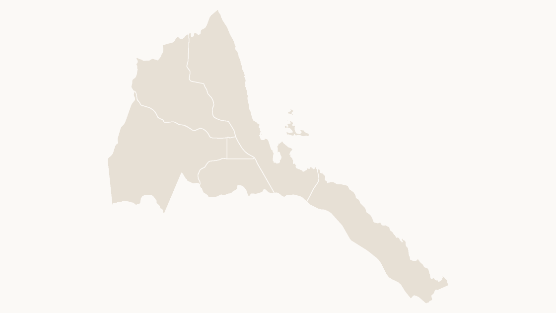
The 6 regions of Eritrea, each an editable shape with its ISO 3166-2 code.
6 regions
3 themes
Preview shows the map slide in Editorial, Mono, Slate.
Natural Earth, 1:10m Cultural Vectors (public domain).
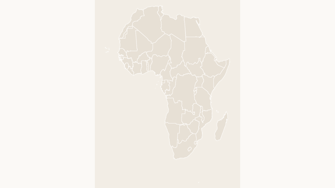
The 55 countries of Africa, on Equal Earth.
Download a free sample deck — World, all three themes, no email and no card.
One-time payment · 3 .pptx files, all themes included · 14 days refund policy · Terms and Privacy
Africa as one map, 55 countries, each an editable shape. Use it when the slide is about a region rather than about one country: a distribution map, a supply chain, a set of offices.
Typical use: Regional reports, coverage maps and market slides where Africa is the subject.
All 55 countries are in the file:
Algeria, Angola, Benin, Bir Tawil, Botswana, Burkina Faso, Burundi, Cabo Verde, Cameroon, Central African Rep., Chad, Comoros, Congo, Côte d'Ivoire, Dem. Rep. Congo, Djibouti, Egypt, Eq. Guinea, Eritrea, eSwatini, Ethiopia, Gabon, Gambia, Ghana, Guinea, Guinea-Bissau, Kenya, Lesotho, Liberia, Libya, Madagascar, Malawi, Mali, Mauritania, Morocco, Mozambique, Namibia, Niger, Nigeria, Rwanda, S. Sudan, Senegal, Sierra Leone, Somalia, Somaliland, South Africa, Sudan, São Tomé and Principe, Tanzania, Togo, Tunisia, Uganda, W. Sahara, Zambia, Zimbabwe.
| Price | $9.99, one-time payment, no subscription |
|---|---|
| Format | PowerPoint .pptx, opens natively in Keynote |
| File size | 277 KB |
| Join field | ISO 3166-2 (the ISO 3166-2 code for each area) |
| Area figures | Area, km², measured from the boundary geometry |
| Boundary source | Natural Earth |
| Projection | Equal Earth for the world and the continents; Albers equal-area conic, fitted to each country, for a national map |
| Coordinates | WGS84 longitude / latitude |
| License | Commercial use permitted; resale of the files is not |
| Refunds | Full refund within 14 days for any reason, and at any time if the file is defective or not as described |
A screenshot cannot be recolored. PowerPoint's own map chart can shade a few countries, and stops at country level. This is neither: it is the geometry, in the file, as shapes.
| A map image | PowerPoint's map chart | This file | |
|---|---|---|---|
| Color one area and leave the rest | No — the picture is a single object | Yes, shaded from its data | Yes — 55 separate shapes |
| Edit without an internet connection | Yes | No — place names are resolved through Bing | Yes |
| Needs a Microsoft 365 or Office 2019 subscription | No | Yes | No — any PowerPoint that opens a .pptx |
| Rename, delete or move a single area | No | No | Yes — every shape is named in the Selection Pane |
| Cost | Free | Included with the subscription | $9.99, once |
$9.99
The 6 regions of Eritrea, each an editable shape with its ISO 3166-2 code.
 $9.99
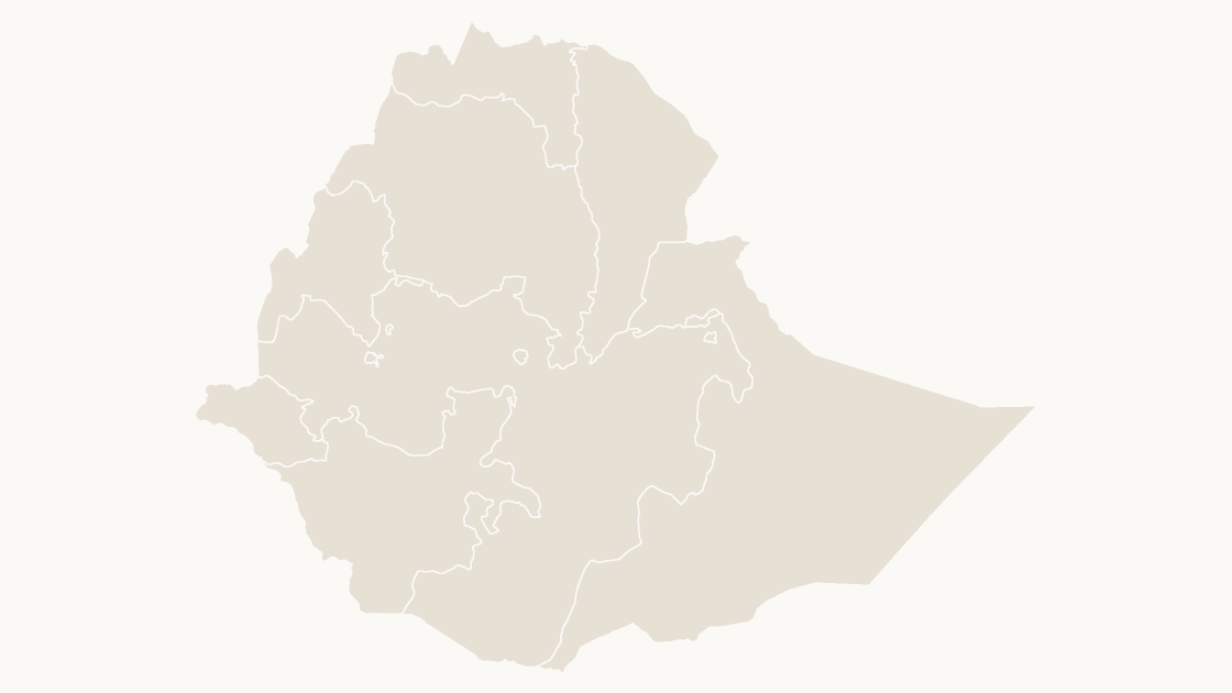
The 11 states of Ethiopia, each an editable shape with its ISO 3166-2 code.
 $9.99
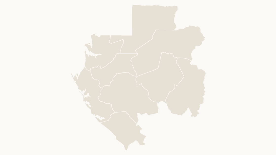
The 9 provinces of Gabon, each an editable shape with its ISO 3166-2 code.