 $9.99
World
World
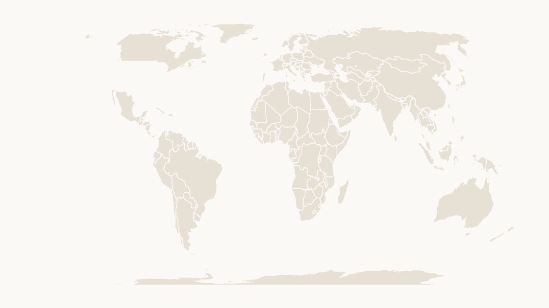
Every country on one slide, 243 shapes, drawn on Equal Earth so the areas are to scale.
243 countries
3 themes
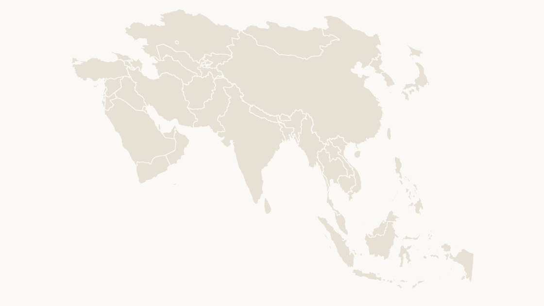
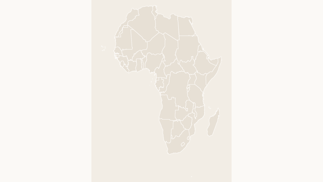
One world map, seven continents, and the first-level divisions of 201 countries. Every border is a shape in the file rather than pixels in a picture, so a country can be recolored on its own, and a continent can carry its own figures.
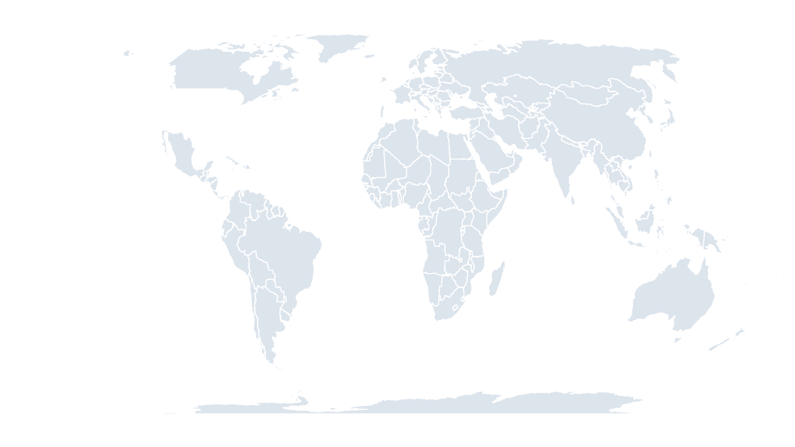
The world map answers "where is this". A continent answers "what does this region look like". A country map answers "which province". They share a type size and a palette, so a global deck and a national one read as one document.
$9.99
Every country on one slide, 243 shapes, drawn on Equal Earth so the areas are to scale.
 $9.99
 $9.99
 $9.99
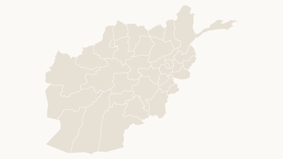
The 34 provinces of Afghanistan, each an editable shape with its ISO 3166-2 code.
 $9.99
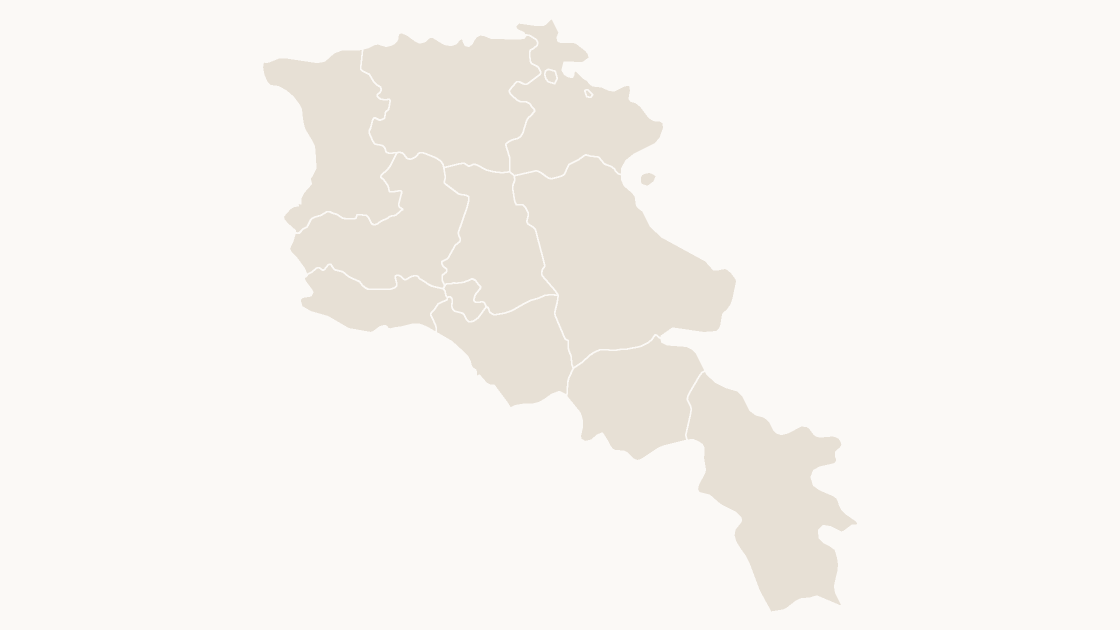
The 11 provinces of Armenia, each an editable shape with its ISO 3166-2 code.
 $9.99
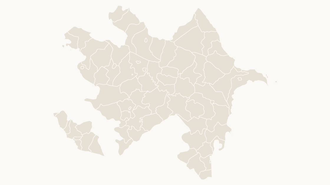
The 78 districts of Azerbaijan, each an editable shape with its ISO 3166-2 code.
 $9.99
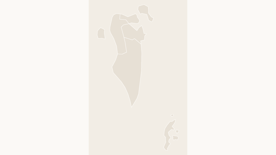
The 5 governorates of Bahrain, each an editable shape with its ISO 3166-2 code.
 $9.99
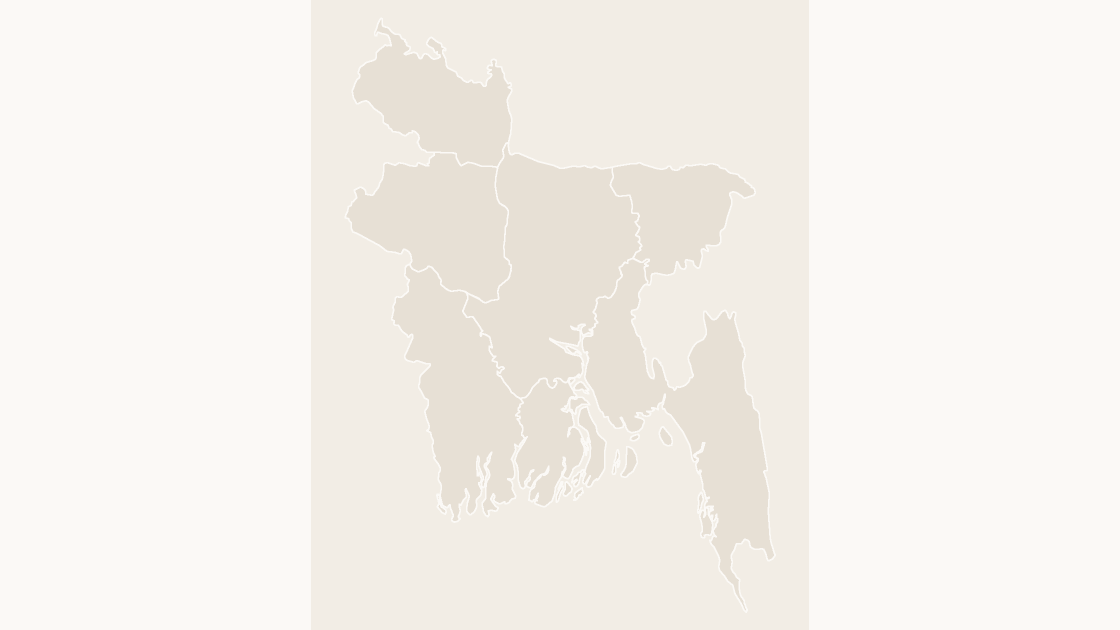
The 7 divisions of Bangladesh, each an editable shape with its ISO 3166-2 code.
 $9.99
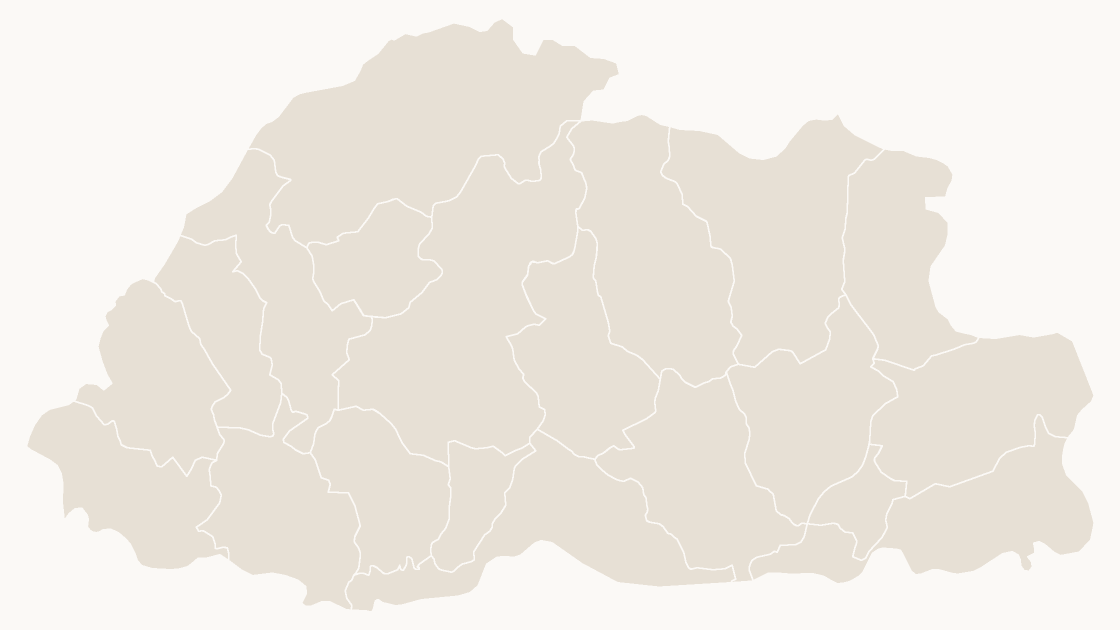
The 20 districts of Bhutan, each an editable shape with its ISO 3166-2 code.
The boundaries come from Natural Earth, the 1:10m set that atlases and newsrooms draw from. It is public domain: no attribution required, no restriction on commercial use of the maps you make with it. We credit it on the source slide anyway, because a map without a source is a rumour.
The world and the continents are drawn on Equal Earth, which keeps areas to scale — on the Mercator map in most classrooms, Greenland is the size of Africa. A single country gets an Albers fitted to its own extent, so Norway and Chad both keep their shape.
Every first-level division is a named shape carrying its ISO 3166-2 code: JP-13 for Tokyo, DE-BY for Bavaria. That code is what you join your own figures on, because place names change and repeat across borders.
The China catalog is built on official boundary data, where the country has 34 province-level divisions including Taiwan, Hong Kong and Macao. The world map uses that same outline, so the two agree rather than argue.
$9.99 per map, one-time. Three .pptx files, one per color theme, eight slides each: a cover, an editing guide, the map, a labeled reference, a data slide with every code listed, a spotlight slide, a source slide, and the map again for a second treatment. No subscription, no add-in, and nothing to install.
Full terms on the license page; refunds within 14 days for any reason, on the terms page.