 $19.99
Autonomous communities
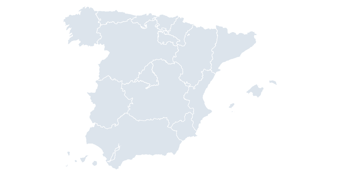
Spain Autonomous Communities
The 19 autonomous communities as editable shapes, with the provincial borders drawn over the top.
19 autonomous communities
388 KB
Every autonomous community, province and municipality is a native vector shape rather than an image. Ungroup the map to recolor a single area, or join your own figures to the shapes on their national code. No add-in and no additional software is required.
Covering all three levels Spanish data is published at: the 19 autonomous communities, the 52 provinces, and the 8,213 municipalities sold per province. Every template is a Spain map for PowerPoint, Keynote and Google Slides, and ungroups into separately editable areas.
$19.99
The 19 autonomous communities as editable shapes, with the provincial borders drawn over the top.
 $19.99
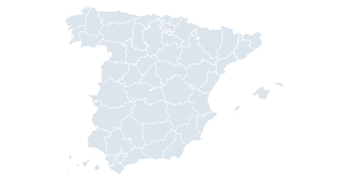
All 52 provinces, with the municipal borders drawn over the top.
 $19.99
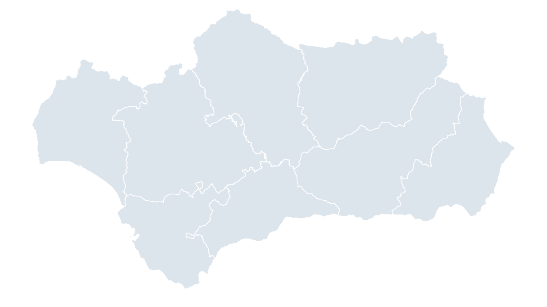
Andalusia — eight provinces in the Guadalquivir basin, the largest community by population
 $19.99
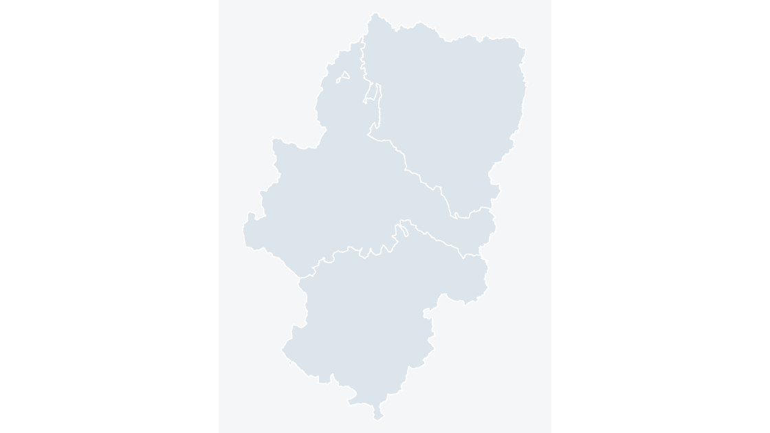
Aragon — three provinces spanning the Ebro valley and the Pyrenean axis
 $19.99
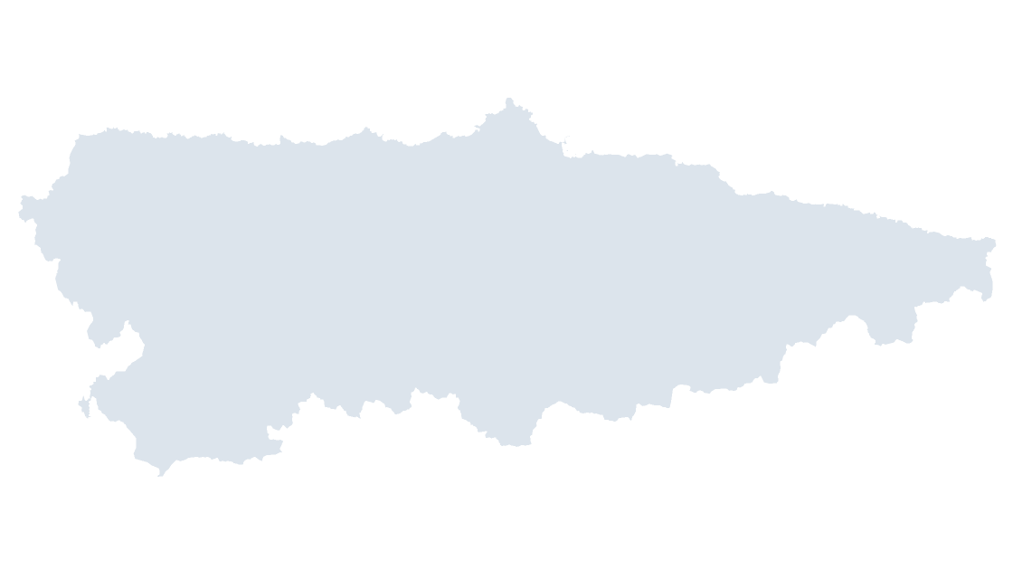
Asturias — one province that is also the community, from the Bay of Biscay to the Picos de Europa
 $19.99
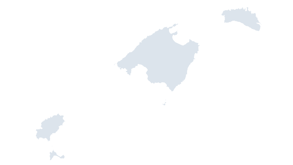
Balearic Islands — the Balearic archipelago as one province and one community
A picture of a map is no use once the figures behind it change. These are vector shapes labeled with their area names, so a color can be changed in seconds.
Each shape carries the CNIG national code, the identifier Spanish statistics are published against, and its area name. Open the Selection Pane and the shapes are listed by name rather than as Freeform 138.
Built from the boundaries inscribed in the Registro Central de Cartografía, the legal register Royal Decree 1545/2007 requires provincial, autonomous-community and municipal boundary lines to be entered in.
The national community map carries its provincial borders and the national province map its municipal ones, as context lines under the level being colored — because the level below is where most Spanish data is actually published.
The boundaries are published by the Centro Nacional de Información Geográfica (CNIG) and reused under Order FOM 2807/2015, which permits commercial use. It requires the origin of the data to be acknowledged and the data date stated, so both are already printed on the source slide of every deck and need no work from you.
Full terms: Terms of Service and the template license.