 $19.99
National
China Provinces
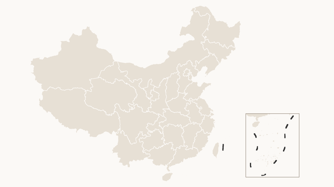
All 34 province-level divisions as editable shapes — the mainland provinces, the four municipalities, the autonomous regions, and Taiwan, Hong Kong and Macao.
34 province-level divisions
3 themes
Three levels — the 34 province-level divisions, the cities inside each province, and the districts and counties inside each city. Every area is a native vector shape: ungroup the map to recolor a single district, or join your own figures on its GB administrative code. No add-in and no additional software.
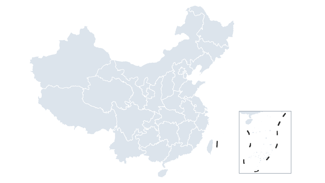
All 34 province-level divisions on one slide — the 23 provinces, four municipalities, five autonomous regions, and Taiwan, Hong Kong and Macao.
27 provinces, each with its prefecture-level cities as separate shapes. 6 province-level divisions have no city tier — the four municipalities and Taiwan and Hong Kong — so their districts report straight to them.
329 prefecture-level cities, each with its districts and counties — the level local figures are published at.
$19.99
All 34 province-level divisions as editable shapes — the mainland provinces, the four municipalities, the autonomous regions, and Taiwan, Hong Kong and Macao.
 $19.99
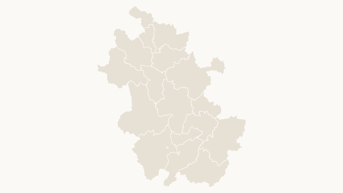
The 16 prefecture-level cities of Anhui as separate shapes, sized for a slide rather than a wall.
 $19.99
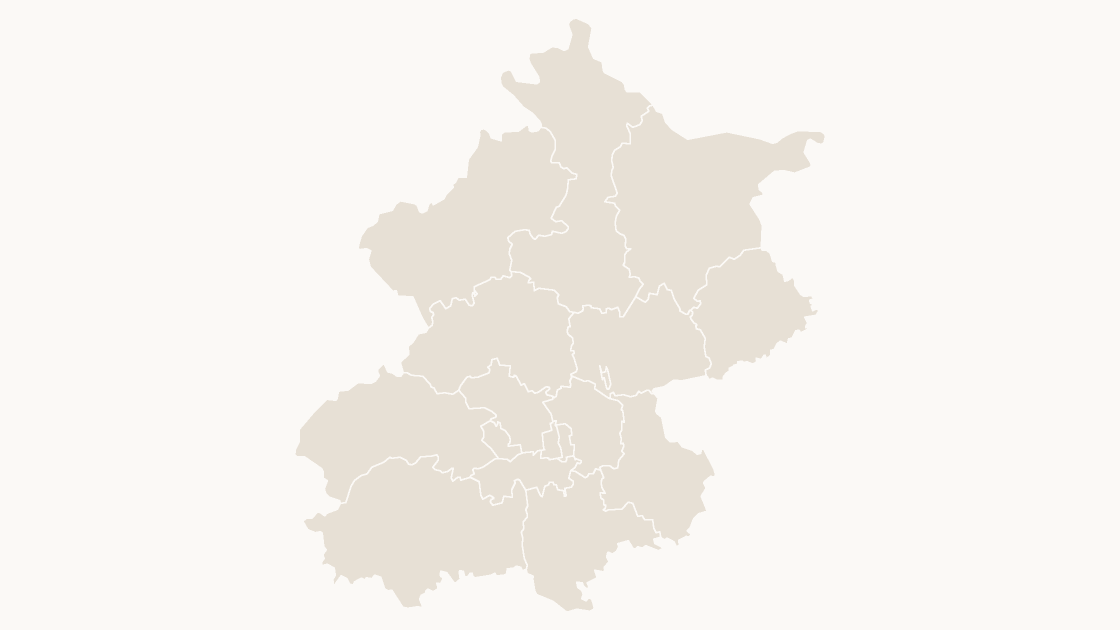
The 16 districts of Beijing Municipality as separate shapes — this division has no prefecture-level tier, so its districts report straight to it.
 $19.99
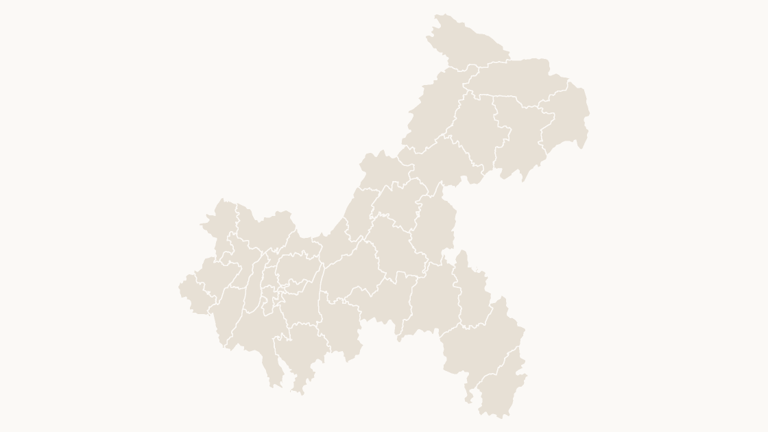
The 37 districts and counties of Chongqing Municipality as separate shapes — this division has no prefecture-level tier, so its districts and counties report straight to it.
 $19.99
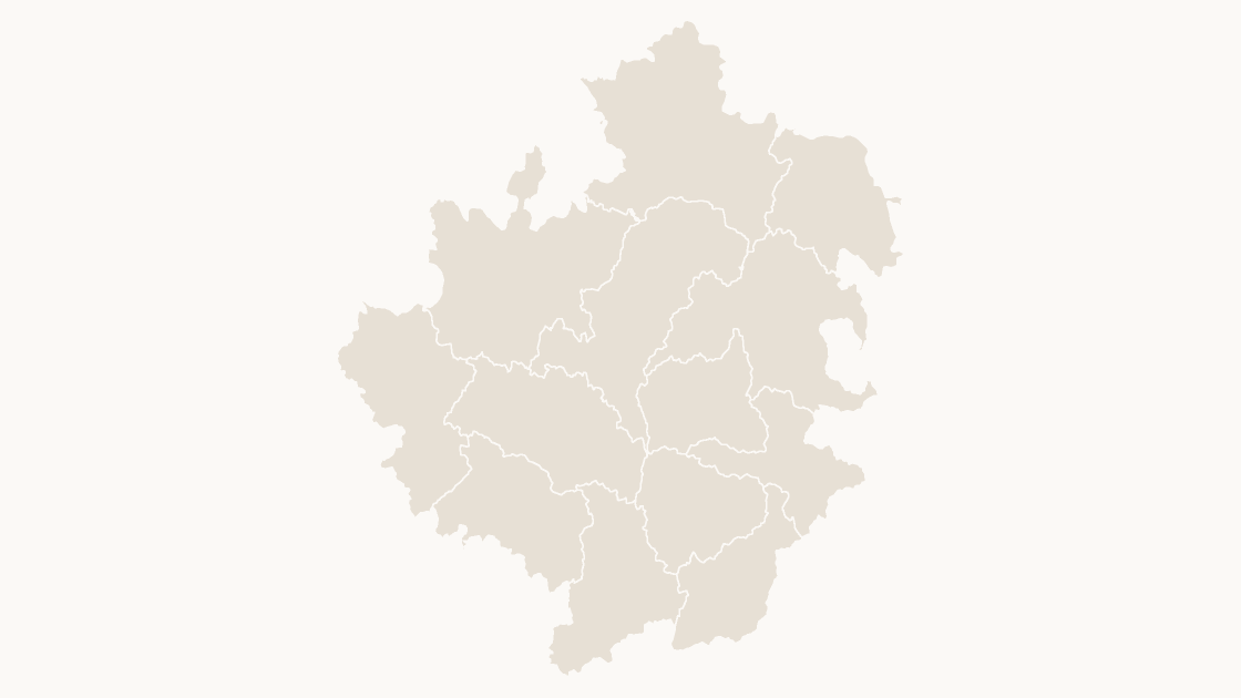
The 13 counties of Aba Tibetan and Qiang Autonomous Prefecture, Sichuan Province — each one a separate shape you can fill, label or delete.
 $19.99
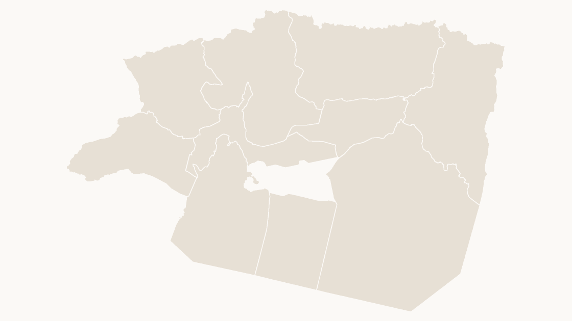
The 9 counties of Aksu Prefecture, Xinjiang Uyghur Autonomous Region — each one a separate shape you can fill, label or delete.
 $19.99
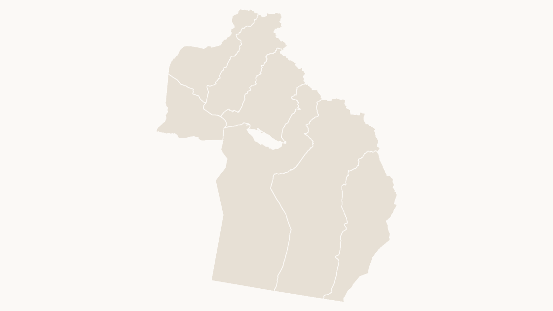
The 7 counties of Altay Prefecture, Xinjiang Uyghur Autonomous Region — each one a separate shape you can fill, label or delete.
A screenshot of a map cannot be recolored one district at a time. Every area here is a separate shape, so shading a province is a click and shading one district is the same click.
PowerPoint's own map chart looks place names up through Bing and needs a Microsoft 365 subscription. These are shapes: they open anywhere a .pptx opens and work offline.
Every shape carries its GB administrative code, and the codes nest — a county's begins with its city's. Match your spreadsheet on the code, not on the name.