 $9.99
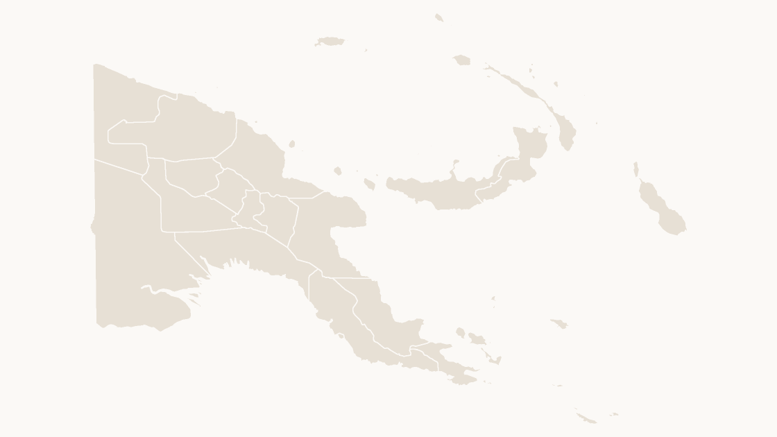
Preview shows the map slide in Editorial, Mono, Slate.
Every template has the same eight slides
- Cover — the map's name and theme, on a slide you can put your own title over.
- Editing guide — ungroup, recolor, regroup, in three steps and without plugins.
- The map — every area at one flat color, the blank starting point for your own shading.
- Reference map — all 20 provinces named, each carrying its ISO 3166-2, so nothing has to be looked up.
- Data map — five shaded classes and a legend, ready for your own figures instead of the sample ones.
- Spotlight — the largest few by area emphasised and the rest muted, for a single clear point.
- Working with the data — a data hand-off table.
- Source and license — the boundary release, the publisher and the license, printed on the slide so the deck carries its own provenance.
Natural Earth, 1:10m Cultural Vectors (public domain).
$9.99 · all three themes
Oceania
Editable Papua New Guinea Map
The 20 provinces of Papua New Guinea, each an editable shape with its ISO 3166-2 code.
Download a free sample deck — World, all three themes, no email and no card.
One-time payment · 3 .pptx files, all themes included · 14 days refund policy · Terms and Privacy
20 provincesGeography
20Editable shapes
8Slides
3Themes
About this map
The 20 provinces of Papua New Guinea as separate shapes, each named and carrying its ISO 3166-2 code. Boundaries are Natural Earth's 1:10m set, the public-domain vector data newsrooms and atlases draw from, so the shapes hold up when the slide is printed at A3 rather than projected.
Typical use: Country reviews, regional splits and any figure Papua New Guinea publishes by province.
Areas included
All 20 provinces are in the file:
Central, Chimbu, East New Britain, East Sepik, Eastern Highlands, Enga, Gulf, Madang, Manus, Milne Bay, Morobe, National Capital District, New Ireland, North Solomons, Northern, Sandaun, Southern Highlands, West New Britain, Western, Western Highlands.
Specification
| Price | $9.99, one-time payment, no subscription |
|---|---|
| Format | PowerPoint .pptx, opens natively in Keynote |
| File size | 126 KB |
| Join field | ISO 3166-2 (the ISO 3166-2 code for each area) |
| Area figures | Area, km², measured from the boundary geometry |
| Boundary source | Natural Earth |
| Projection | Equal Earth for the world and the continents; Albers equal-area conic, fitted to each country, for a national map |
| Coordinates | WGS84 longitude / latitude |
| License | Commercial use permitted; resale of the files is not |
| Refunds | Full refund within 14 days for any reason, and at any time if the file is defective or not as described |
Choosing
Picture, map chart, or this file?
A screenshot cannot be recolored. PowerPoint's own map chart can shade a few countries, and stops at country level. This is neither: it is the geometry, in the file, as shapes.
| A map image | PowerPoint's map chart | This file | |
|---|---|---|---|
| Color one area and leave the rest | No — the picture is a single object | Yes, shaded from its data | Yes — 20 separate shapes |
| Edit without an internet connection | Yes | No — place names are resolved through Bing | Yes |
| Needs a Microsoft 365 or Office 2019 subscription | No | Yes | No — any PowerPoint that opens a .pptx |
| Rename, delete or move a single area | No | No | Yes — every shape is named in the Selection Pane |
| Cost | Free | Included with the subscription | $9.99, once |
Questions
About this map
How many provinces does Papua New Guinea have?
20. All of them are in the file — one shape each, named after the area and carrying its ISO 3166-2 code.
How do I edit it?
Right-click the map and choose Ungroup, in PowerPoint or Keynote. Every area then becomes a separate shape that can be recolored, relabelled or deleted on its own.
What code do I join my data on?
ISO 3166-2 — the international code for a first-level division. Each shape carries it, and the data slide lists every area with its code. Names are the wrong key: they change, and they repeat across borders.
Which boundaries is it built from?
Natural Earth's 1:10m Cultural Vectors, which are public domain. No attribution is required and there is no restriction on using the maps commercially. We credit the source on the file's source slide regardless.
Does it work in Keynote and Google Slides?
Yes. The file holds shapes, solid fills and Arial only, so nothing is dropped or reflowed on import. Ungrouping works in both.
Can I put my own figures on it?
That is what the data slide is for: paste your values beside the code list, classify into five classes, then fill each class from the swatches. There is no link back to a spreadsheet, so the numbers on the slide stay the numbers you typed.
Keep exploring
More of Oceania
$9.99
 $9.99
Oceania
American Samoa
The 5 regions of American Samoa, each an editable shape with its ISO 3166-2 code.
5 regions
3 themes
 $9.99
Oceania
Australia
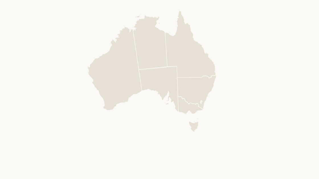
The 11 states of Australia, each an editable shape with its ISO 3166-2 code.
11 states
3 themes