 $9.99
North America
North America
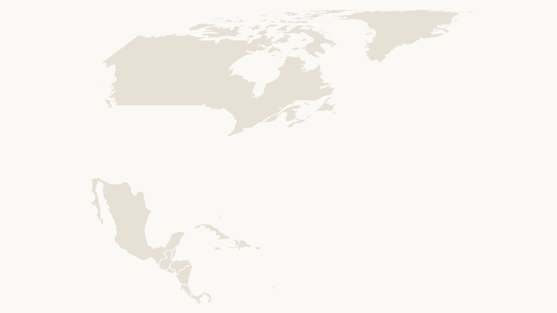
The 41 countries of North America, on Equal Earth.
41 countries
3 themes
Preview shows the map slide in Editorial, Mono, Slate.
Natural Earth, 1:10m Cultural Vectors (public domain).
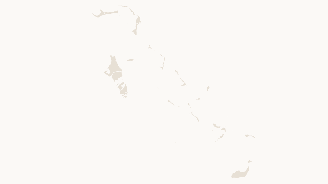
The 30 districts of Bahamas, each an editable shape with its ISO 3166-2 code.
Download a free sample deck — World, all three themes, no email and no card.
One-time payment · 3 .pptx files, all themes included · 14 days refund policy · Terms and Privacy
The 30 districts of Bahamas as separate shapes, each named and carrying its ISO 3166-2 code. Boundaries are Natural Earth's 1:10m set, the public-domain vector data newsrooms and atlases draw from, so the shapes hold up when the slide is printed at A3 rather than projected.
Typical use: Country reviews, regional splits and any figure Bahamas publishes by district.
All 30 districts are in the file:
Acklins, Berry Islands, Bimini, Black Point, Cat Island, Central Abaco, Central Andros, Central Eleuthera, City of Freeport, Crooked Island and Long Cay, East Grand Bahama, Exuma, Harbour Island, Inagua, Long Island, Mangrove Cay, Mayaguana, Moore's Island, New Providence, North Abaco, North Andros, North Eleuthera, Ragged Island, Rum Cay, San Salvador, South Abaco, South Andros, South Eleuthera, Spanish Wells, West Grand Bahama.
| Price | $9.99, one-time payment, no subscription |
|---|---|
| Format | PowerPoint .pptx, opens natively in Keynote |
| File size | 74 KB |
| Join field | ISO 3166-2 (the ISO 3166-2 code for each area) |
| Area figures | Area, km², measured from the boundary geometry |
| Boundary source | Natural Earth |
| Projection | Equal Earth for the world and the continents; Albers equal-area conic, fitted to each country, for a national map |
| Coordinates | WGS84 longitude / latitude |
| License | Commercial use permitted; resale of the files is not |
| Refunds | Full refund within 14 days for any reason, and at any time if the file is defective or not as described |
A screenshot cannot be recolored. PowerPoint's own map chart can shade a few countries, and stops at country level. This is neither: it is the geometry, in the file, as shapes.
| A map image | PowerPoint's map chart | This file | |
|---|---|---|---|
| Color one area and leave the rest | No — the picture is a single object | Yes, shaded from its data | Yes — 30 separate shapes |
| Edit without an internet connection | Yes | No — place names are resolved through Bing | Yes |
| Needs a Microsoft 365 or Office 2019 subscription | No | Yes | No — any PowerPoint that opens a .pptx |
| Rename, delete or move a single area | No | No | Yes — every shape is named in the Selection Pane |
| Cost | Free | Included with the subscription | $9.99, once |
$9.99
The 41 countries of North America, on Equal Earth.
 $9.99
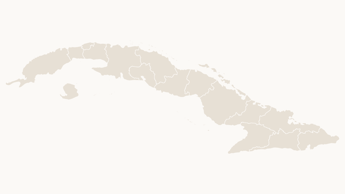
The 16 provinces of Cuba, each an editable shape with its ISO 3166-2 code.
 $9.99
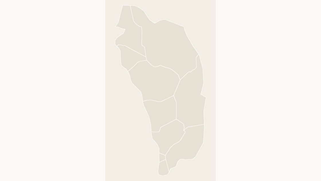
The 10 parishes of Dominica, each an editable shape with its ISO 3166-2 code.