 $9.99
44 decks · $9.99 each
Congressional District Maps for PowerPoint
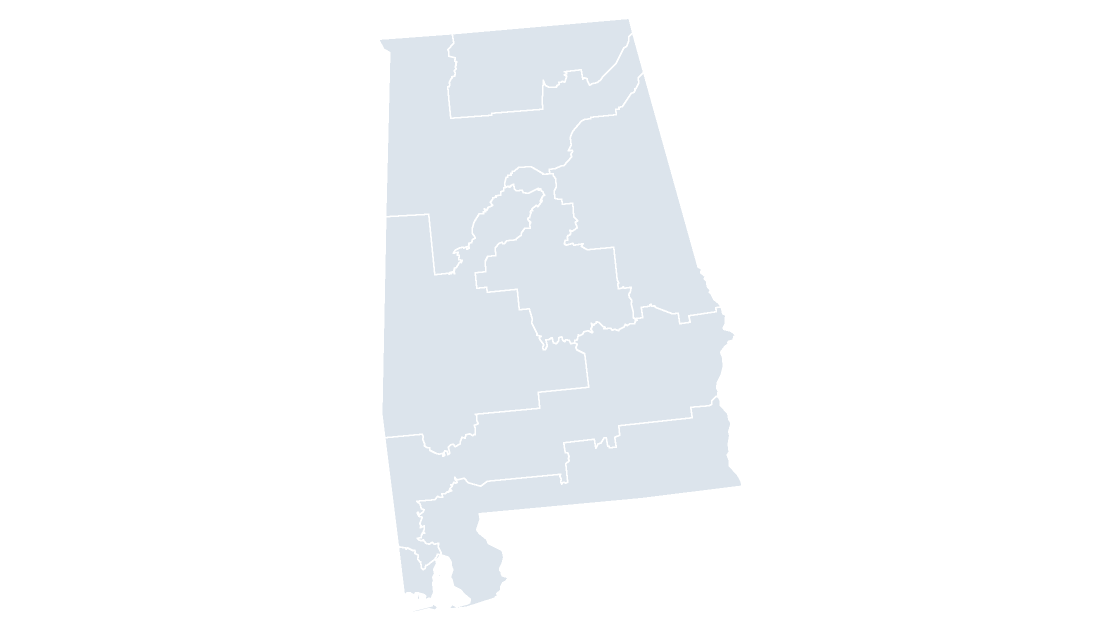
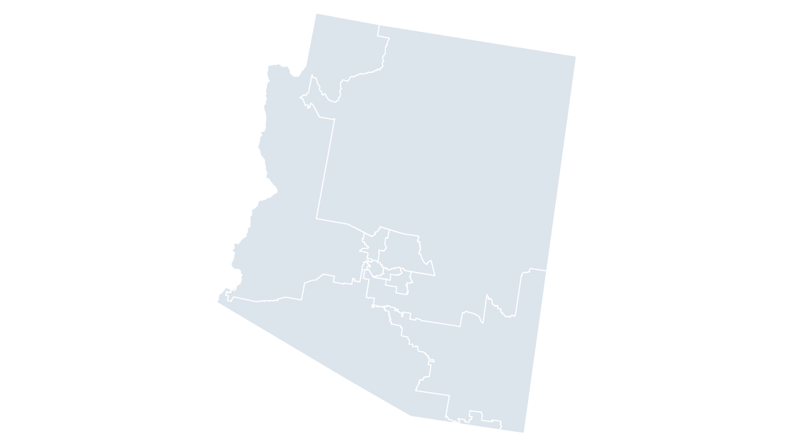
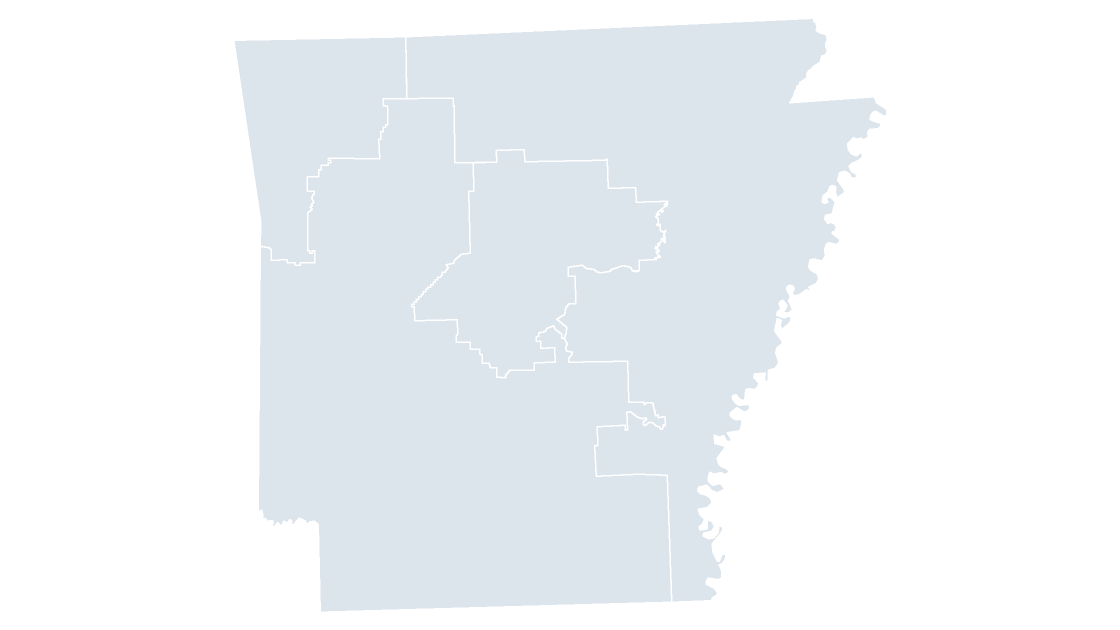
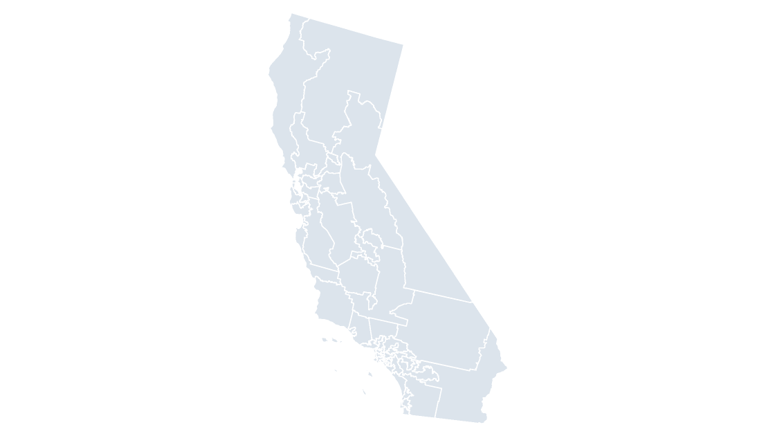
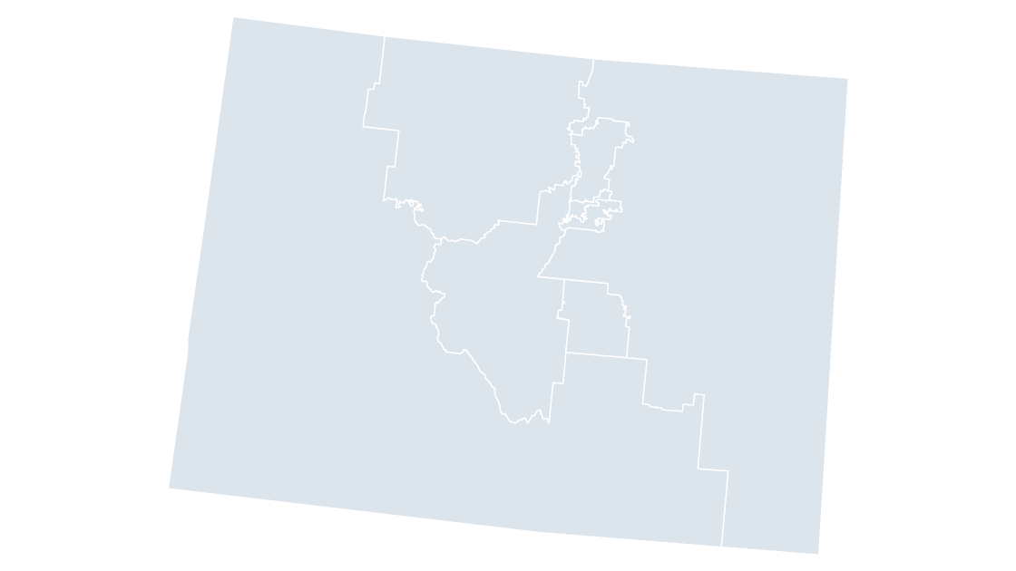
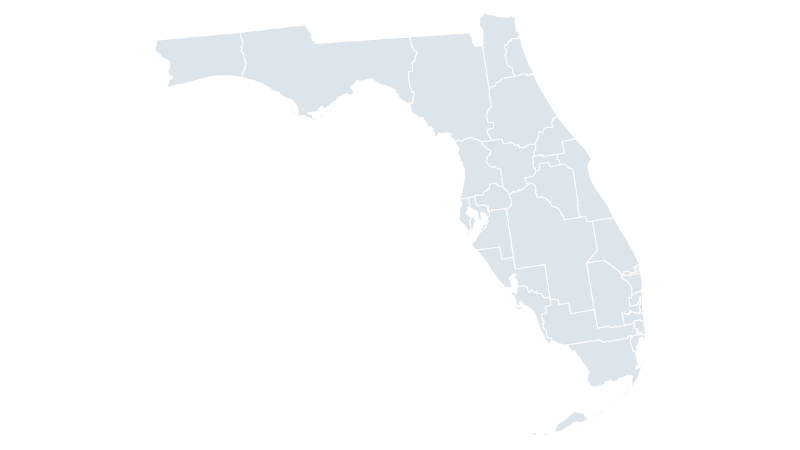
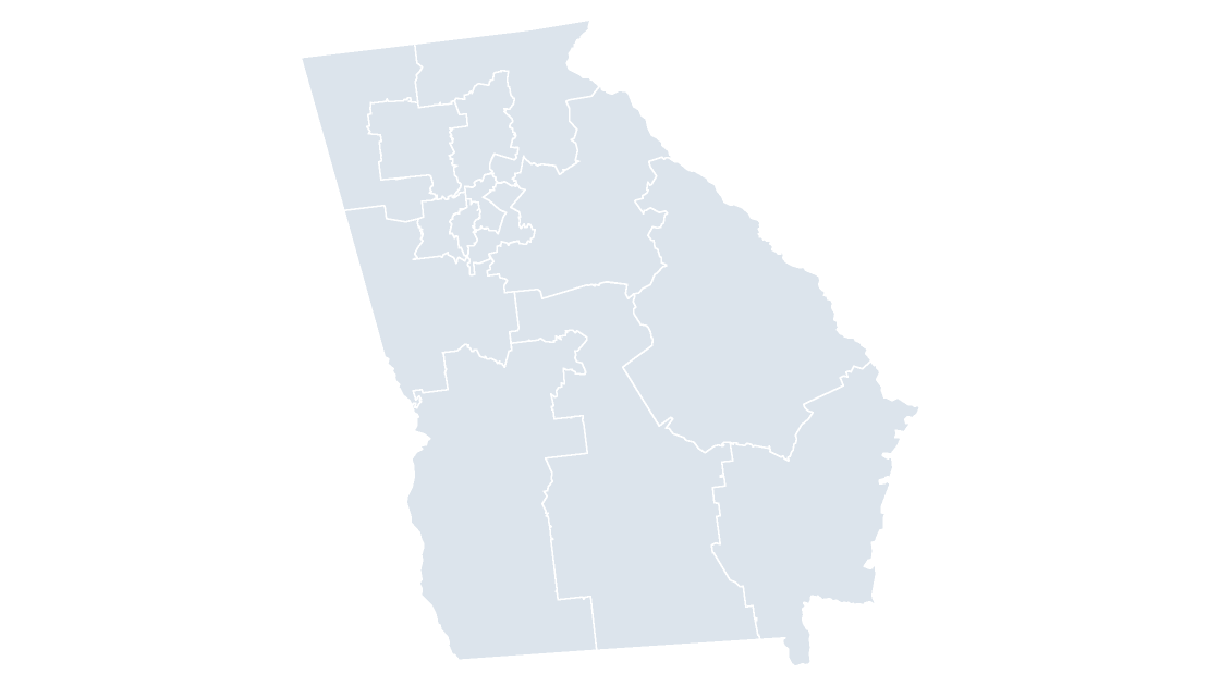
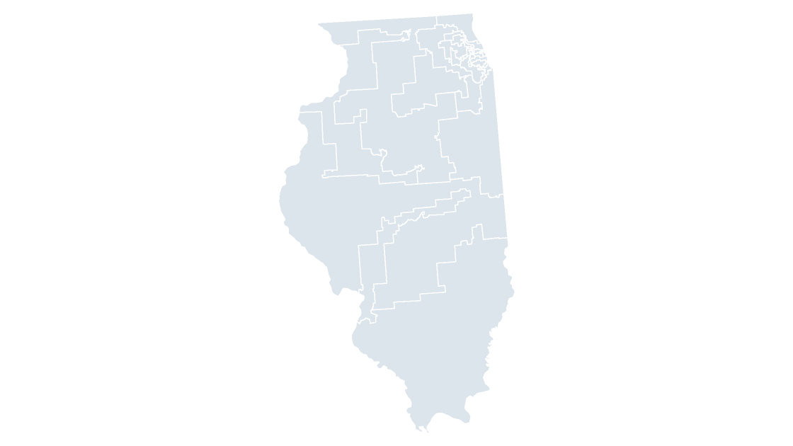
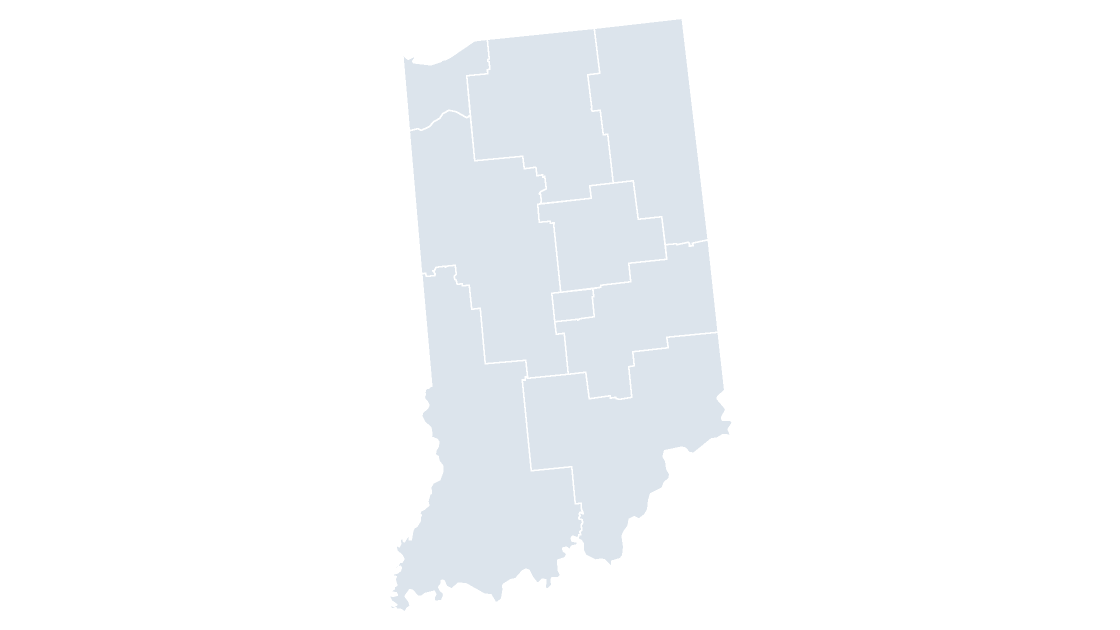
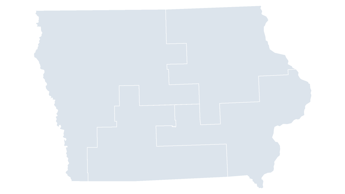
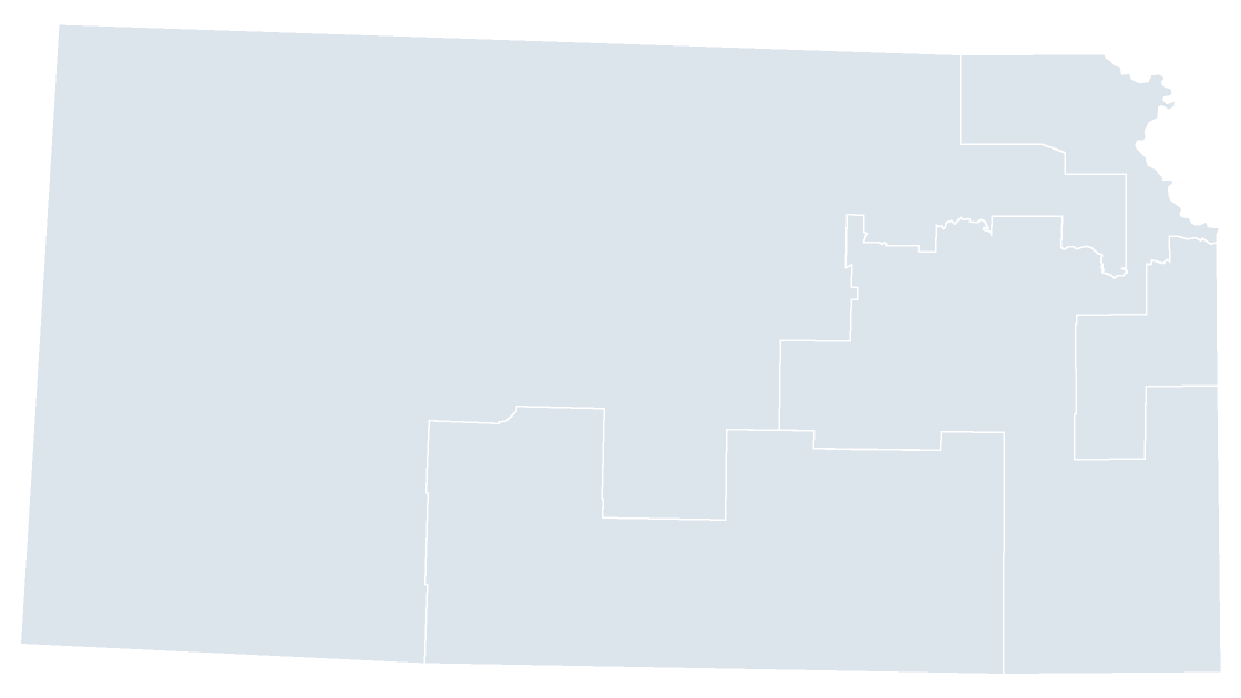
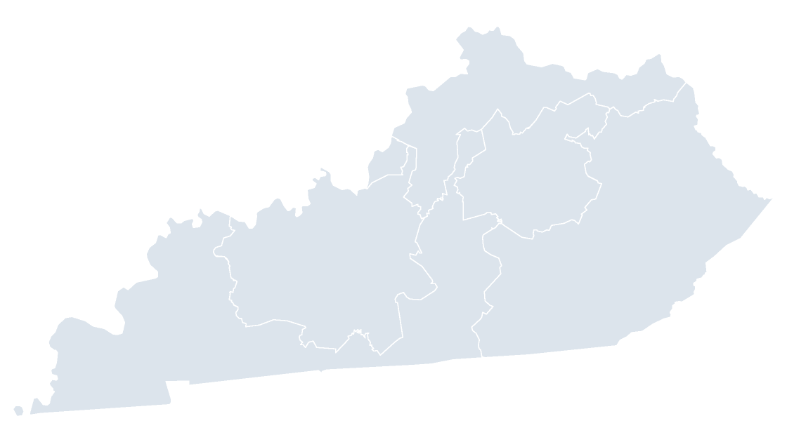
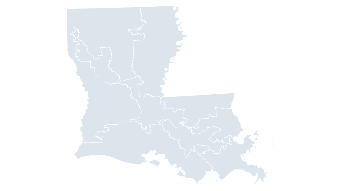
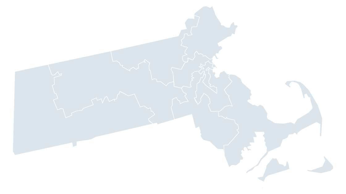
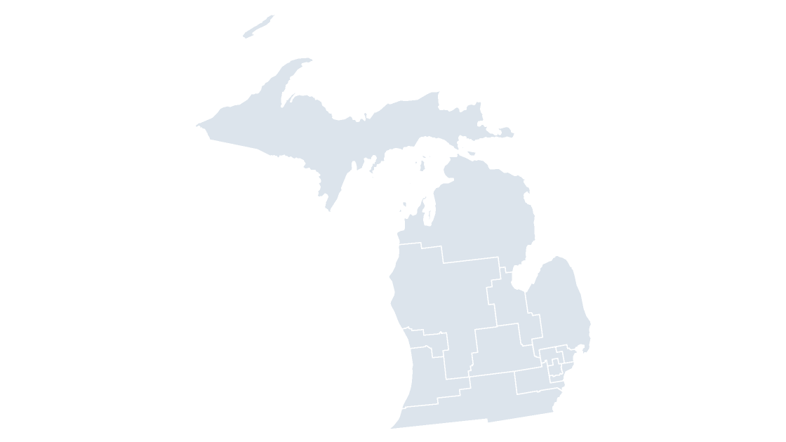
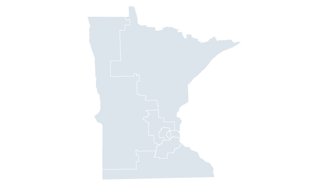
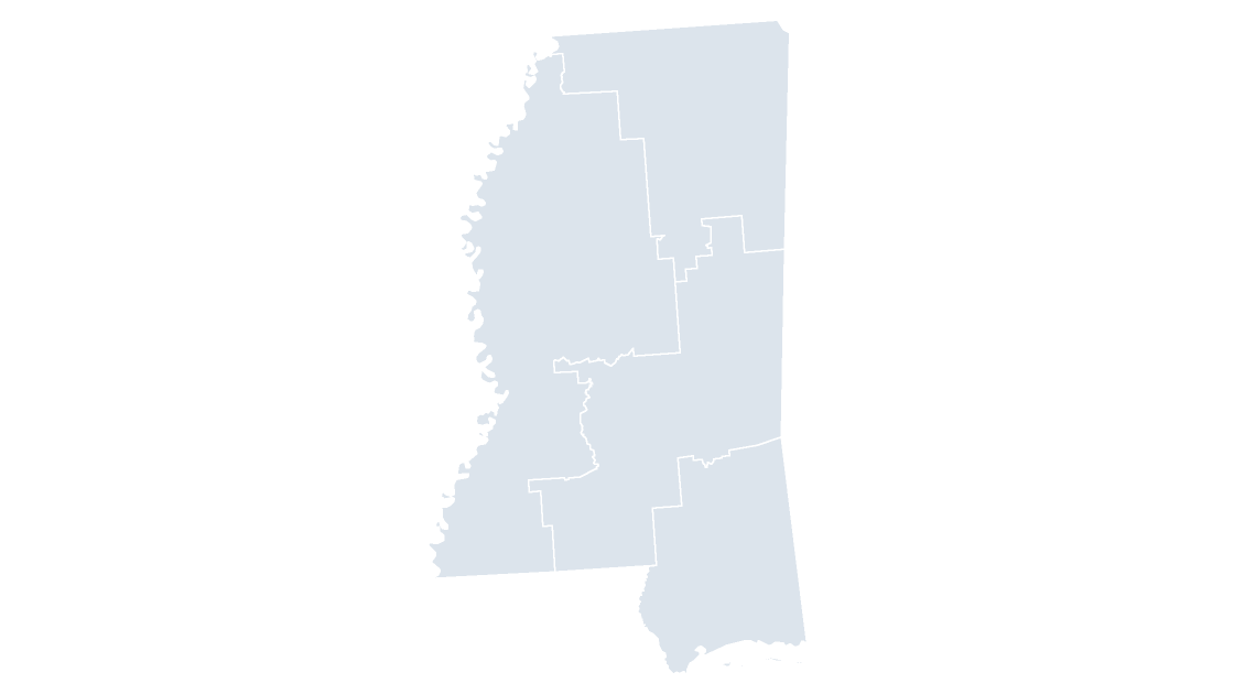
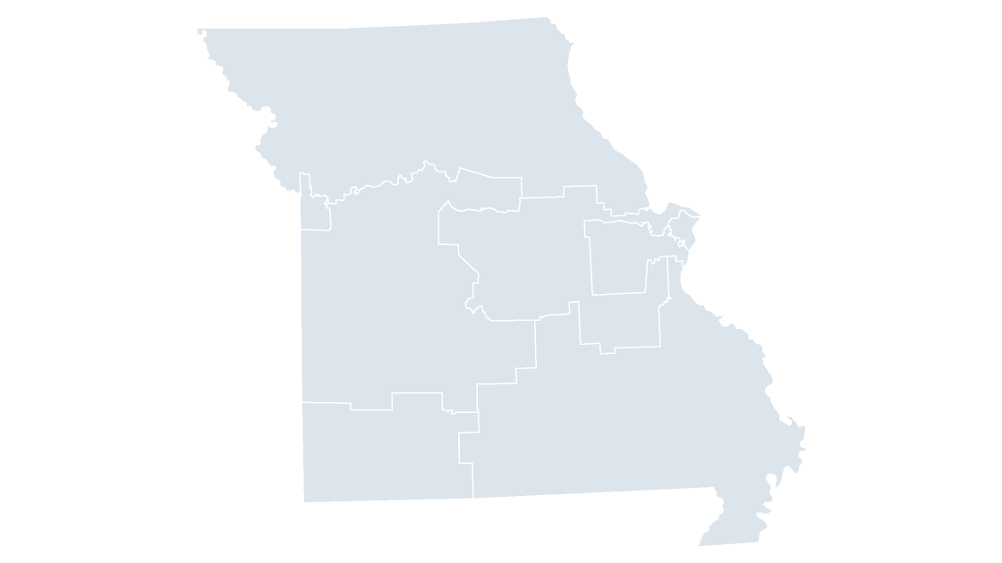
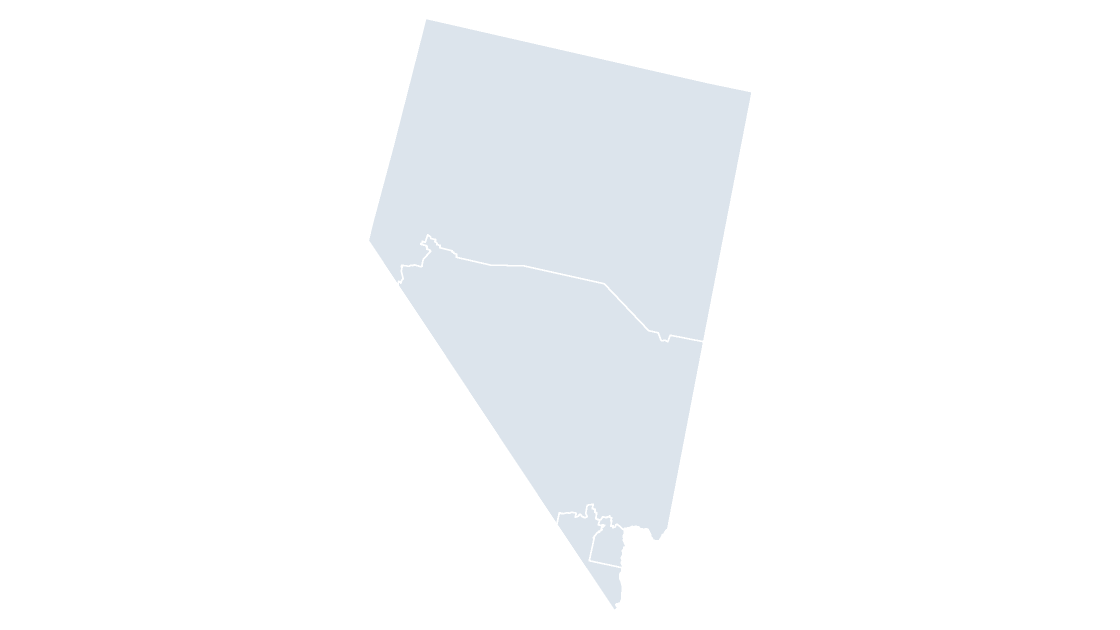
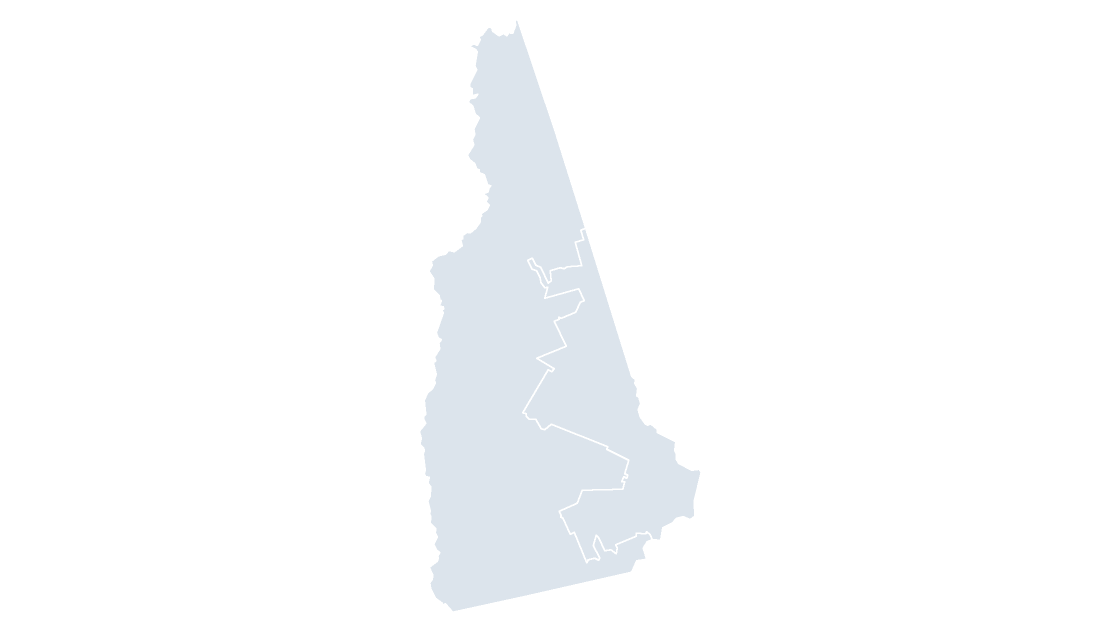
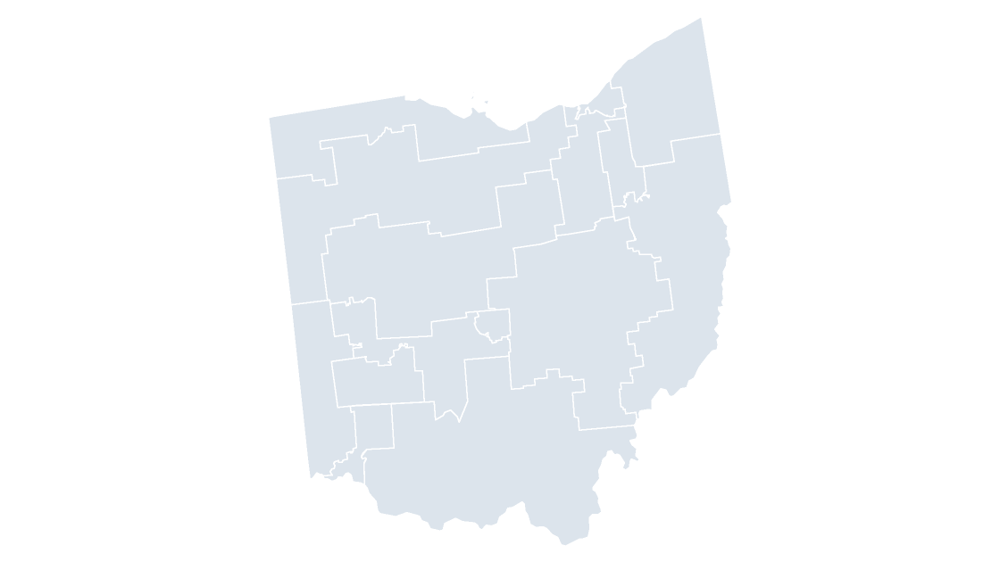
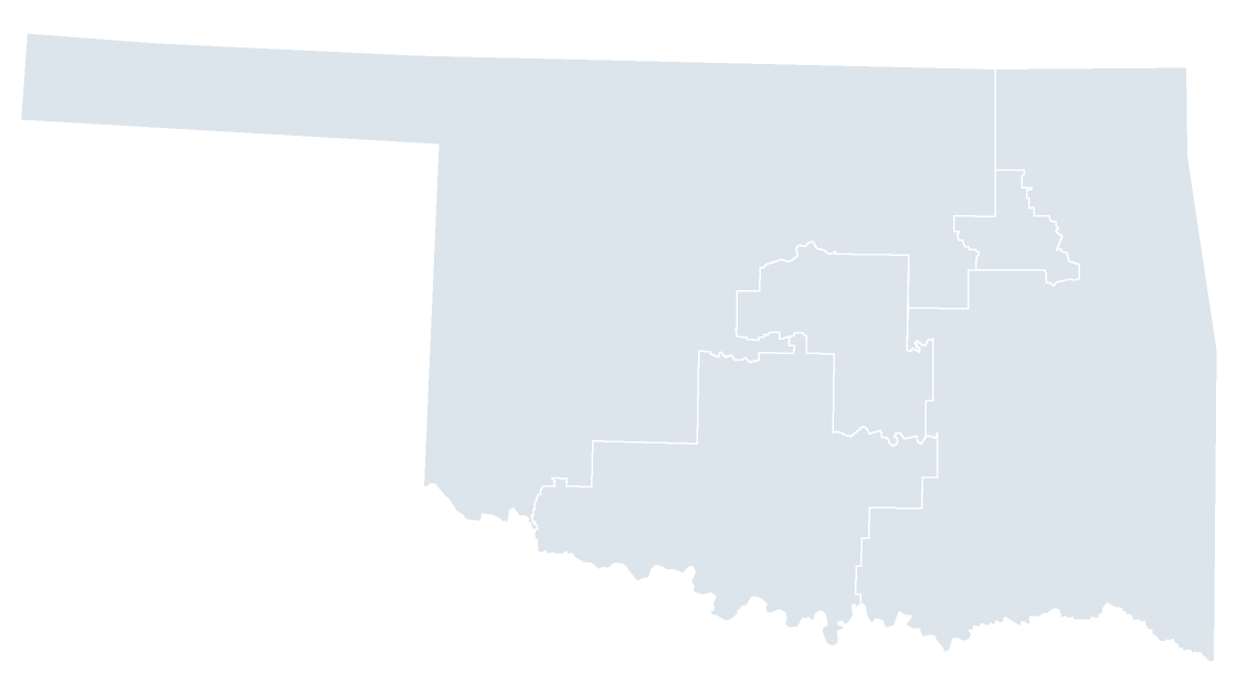
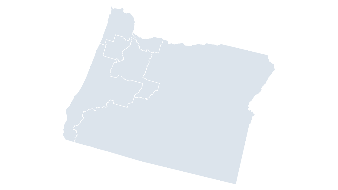
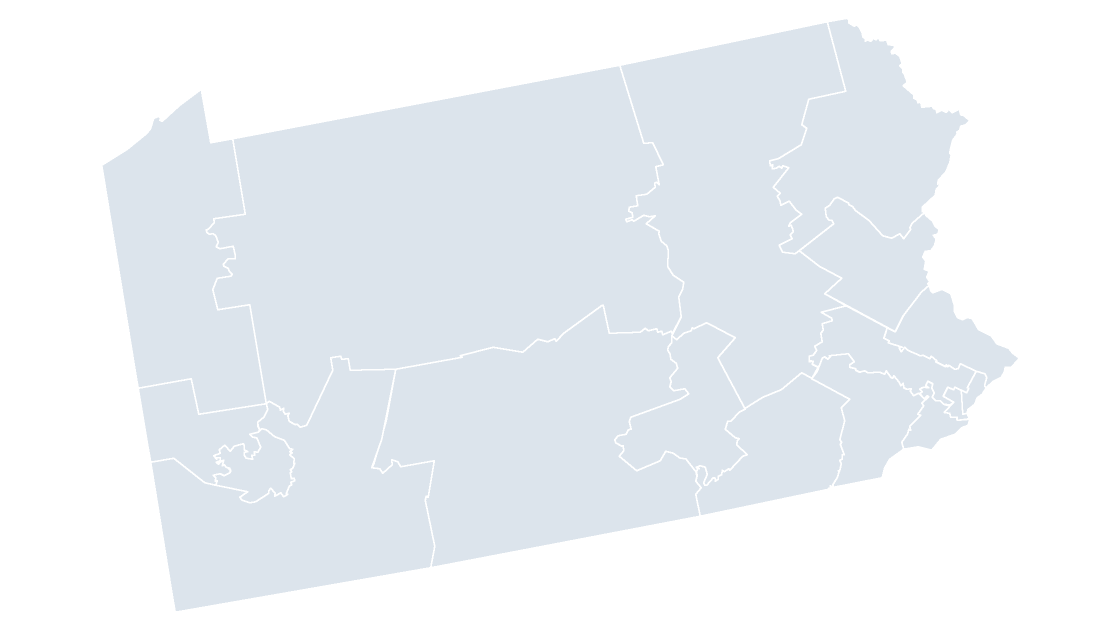
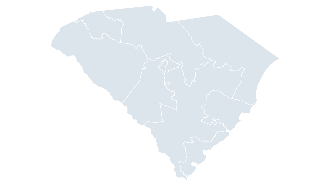
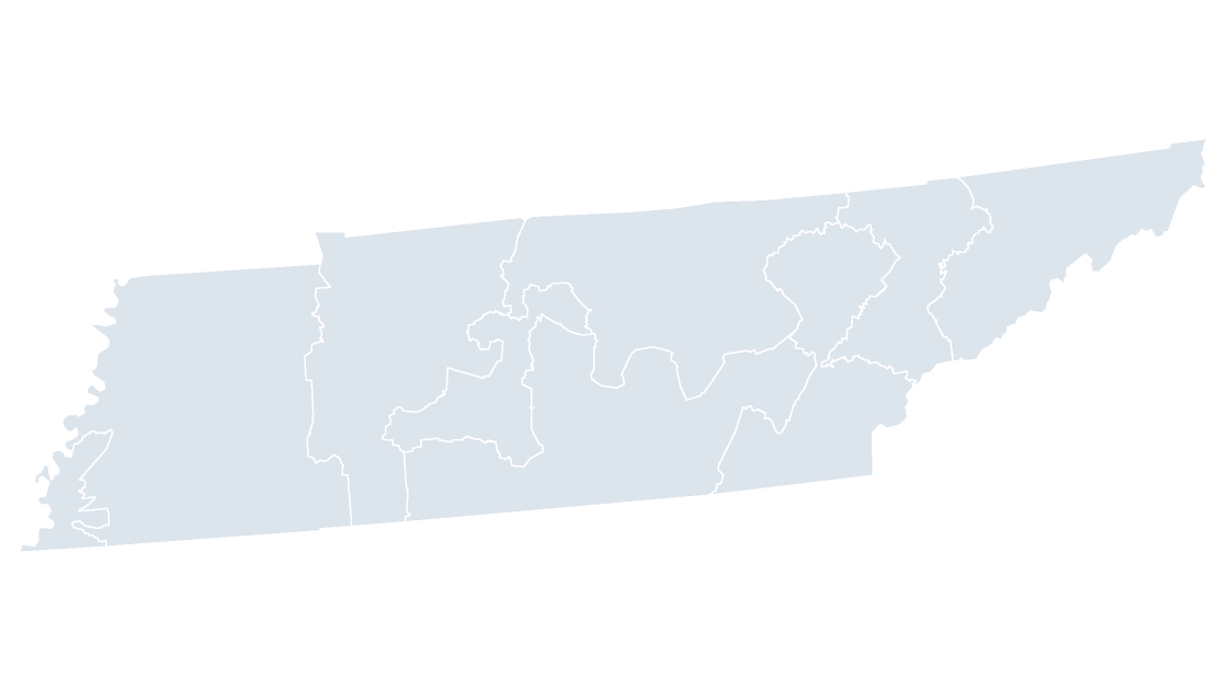
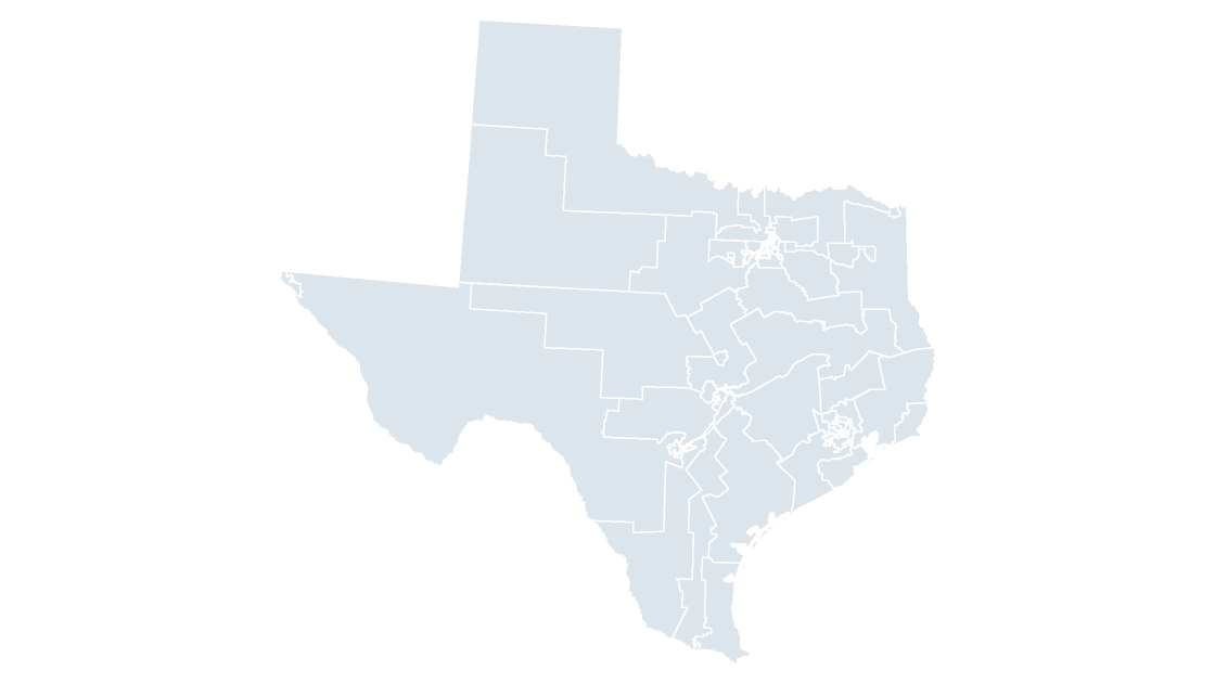
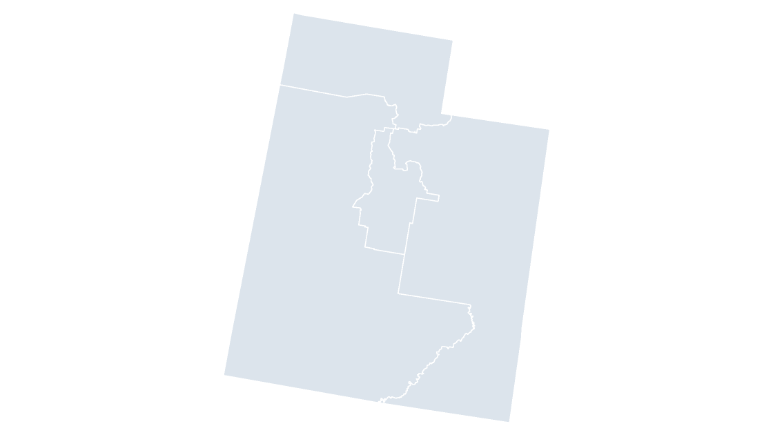
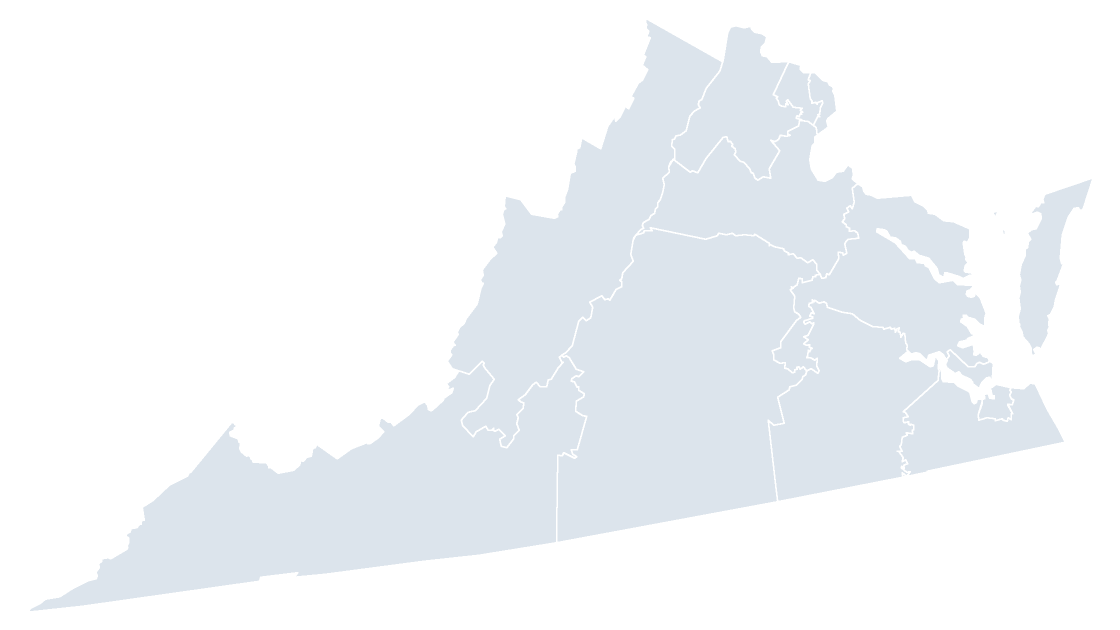
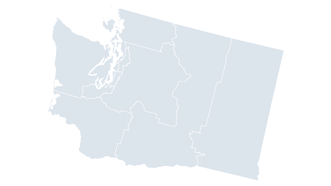
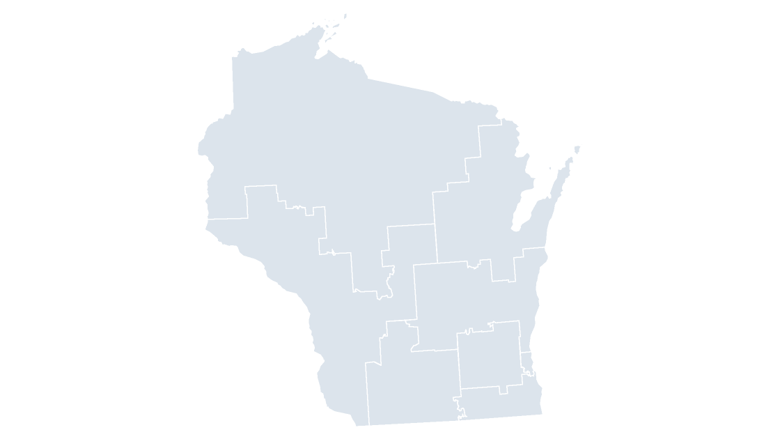
Every seat in the 119th Congress, drawn as its own shape. The national map holds all of them; the state decks hold one state's delegation at a size you can label.
Every deck is eight slides with a labeled reference slide, opens in PowerPoint 2016 or later and imports into Keynote and Google Slides with the shapes intact. One-time payment, no subscription. Looking for the other level? County maps, or the full catalog.
$9.99
 $9.99
 $9.99
 $9.99
 $9.99
 $9.99
 $9.99
 $9.99
 $9.99
 $9.99
 $9.99
 $9.99
 $9.99
 $9.99
 $9.99
 $9.99
 $9.99
 $9.99
 $9.99
 $9.99
 $9.99
 $9.99
 $9.99
 $9.99
 $9.99
 $9.99
 $9.99
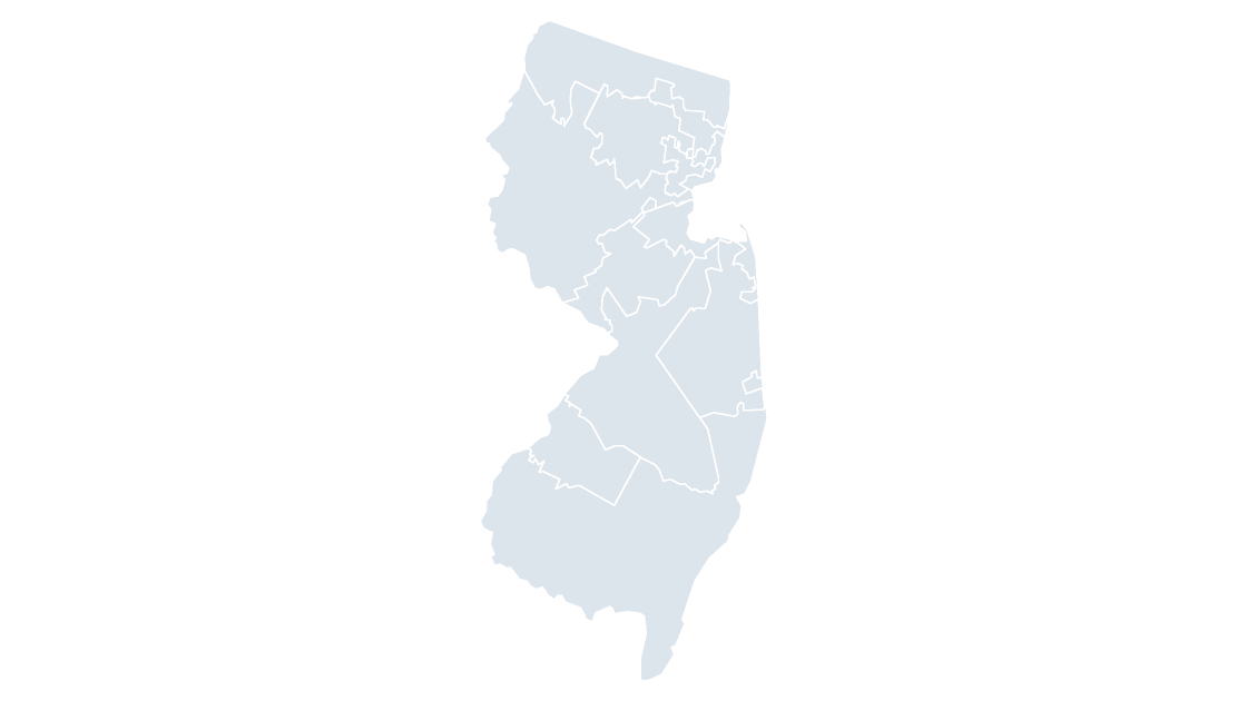 $9.99
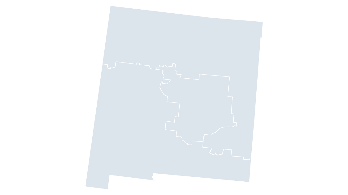 $9.99
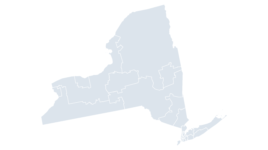 $9.99
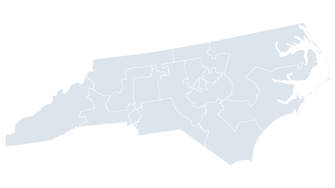 $9.99
 $9.99
 $9.99
 $9.99
 $9.99
 $9.99
 $9.99
 $9.99
 $9.99
 $9.99
 $9.99
 $9.99
 $9.99
 $9.99
What a congressional district deck is for
A district is not a piece of land with a name; it is a seat. The boundaries follow county and precinct lines where that was convenient and ignore them where it was not, which is why a district map assembled by shading whole counties is always wrong along the edges.
The national deck holds all 441 seats: 435 voting members, the District of Columbia and the five territories. The state decks exist for the 44 states that elect more than one member. The other six elect at large, where a state deck would be a single shape.
Lines are the 119th Congress, from the 2025 Census cartographic release. A mid-decade redraw ordered by a state court appears in the next release rather than this one, so check the file date before presenting a state whose map has been in the news.
Each shape carries its GEOID with the district number inside it, so an election results table joins without anyone retyping district names.
Questions
How many congressional districts are there?
441 in the 119th Congress: 435 voting seats plus the District of Columbia and the five territories, each with one non-voting delegate.
Why are only 44 states in this set?
The other six states elect a single member at large, so a state deck would contain one shape. They are on the national map.
Can I color districts by party or by margin?
Yes. Each district is an independent shape, so a fill can come from a results column, and the GEOID on the reference slide is what the column joins on.