 $9.99
53 decks · $9.99 each
Editable County Maps for PowerPoint, State by State
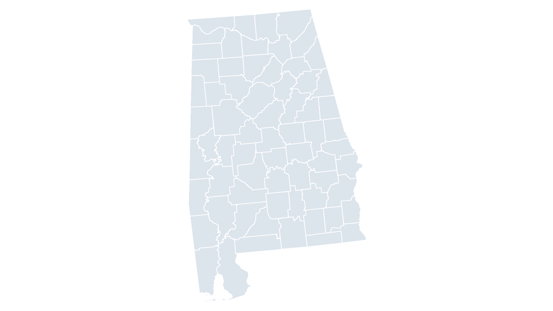
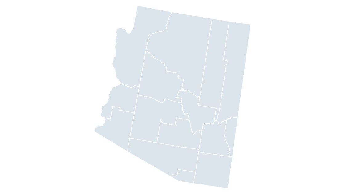
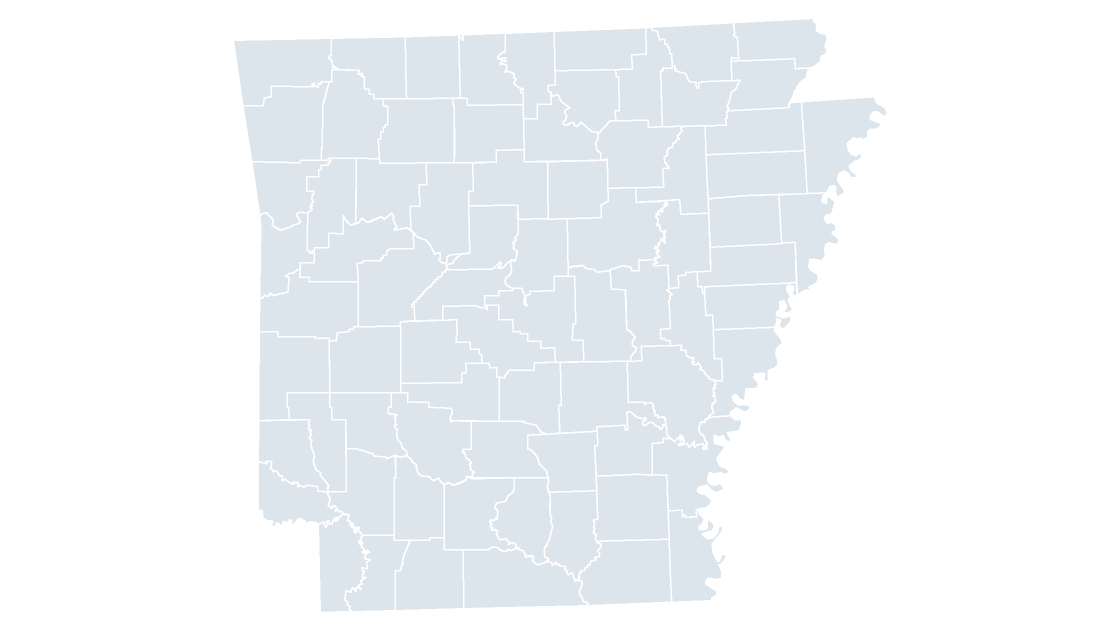
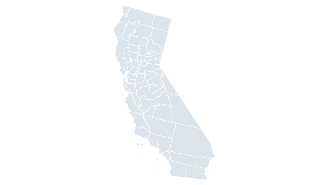
One deck for the whole country and one for each state that has counties. Every county is a separate, named shape, so a spreadsheet column shades the map and nothing else moves.
Every deck is eight slides with a labeled reference slide, opens in PowerPoint 2016 or later and imports into Keynote and Google Slides with the shapes intact. One-time payment, no subscription. Looking for the other level? Congressional district maps, or the full catalog.
$9.99
 $9.99
 $9.99
 $9.99
 $9.99
 $9.99
 $9.99
 $9.99
 $9.99
 $9.99
 $9.99
 $9.99
 $9.99
 $9.99
 $9.99
 $9.99
 $9.99
 $9.99
 $9.99
 $9.99
 $9.99
 $9.99
 $9.99
 $9.99
 $9.99
 $9.99
 $9.99
 $9.99
 $9.99
 $9.99
 $9.99
 $9.99
 $9.99
 $9.99
 $9.99
 $9.99
 $9.99
 $9.99
 $9.99
 $9.99
 $9.99
 $9.99
 $9.99
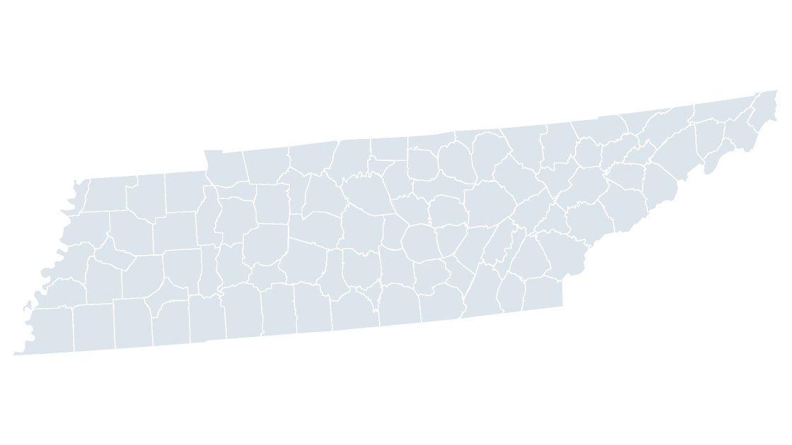 $9.99
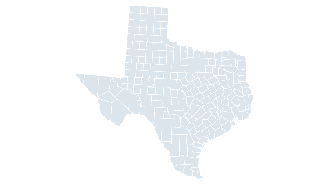 $9.99
 $9.99
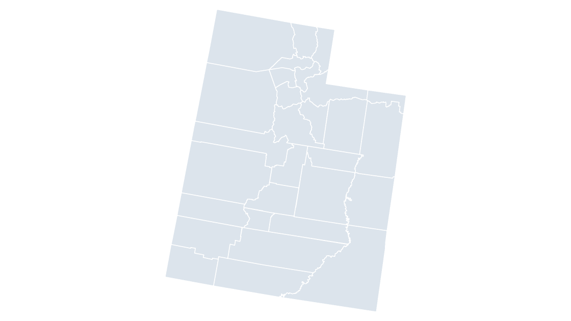 $9.99
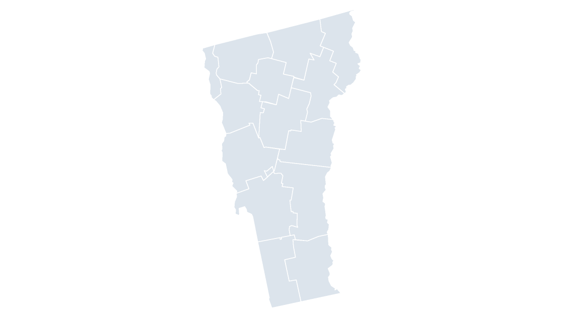 $9.99
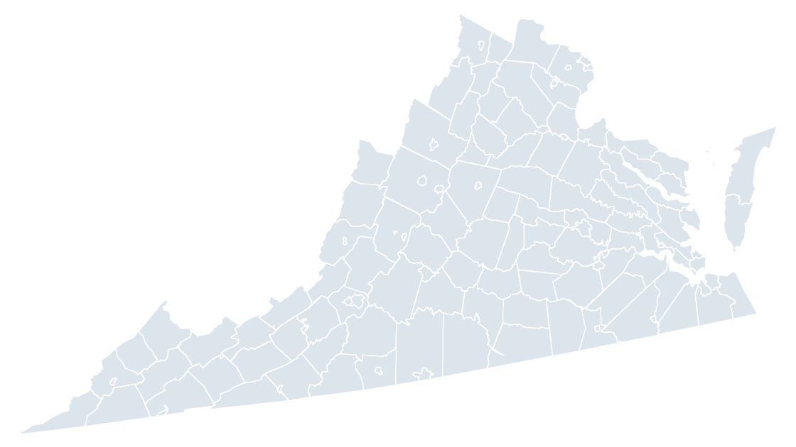 $9.99
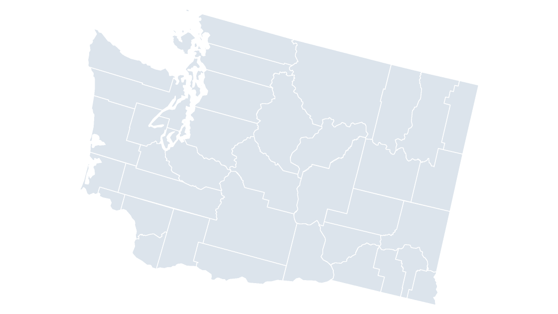 $9.99
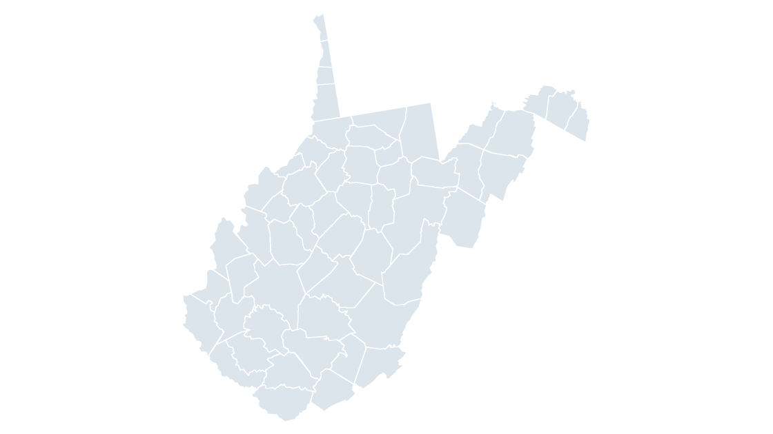 $9.99
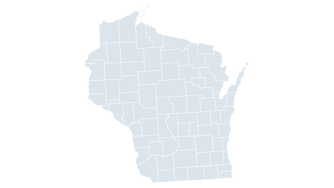 $9.99
 $9.99
What every county deck has in common
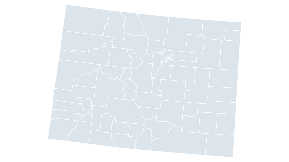
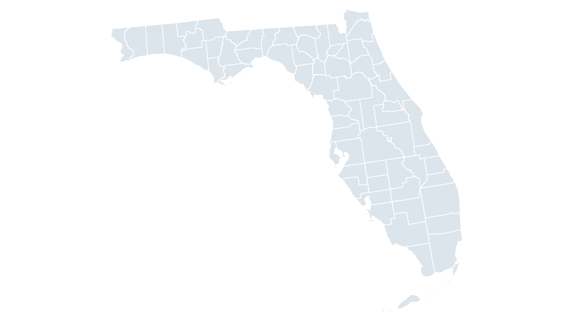
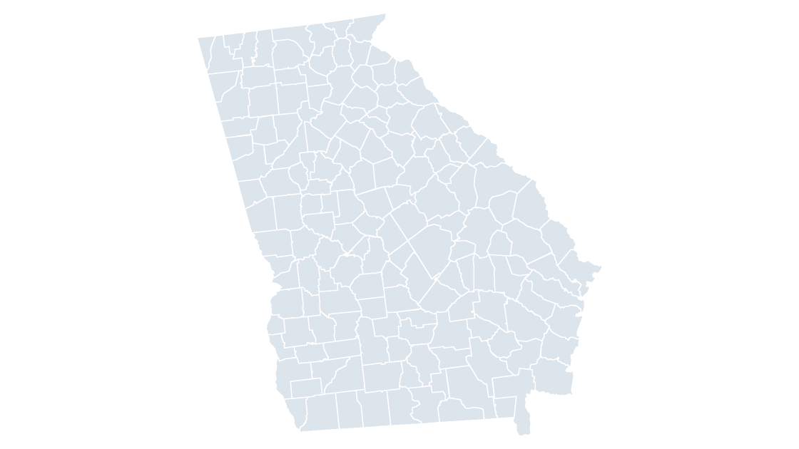
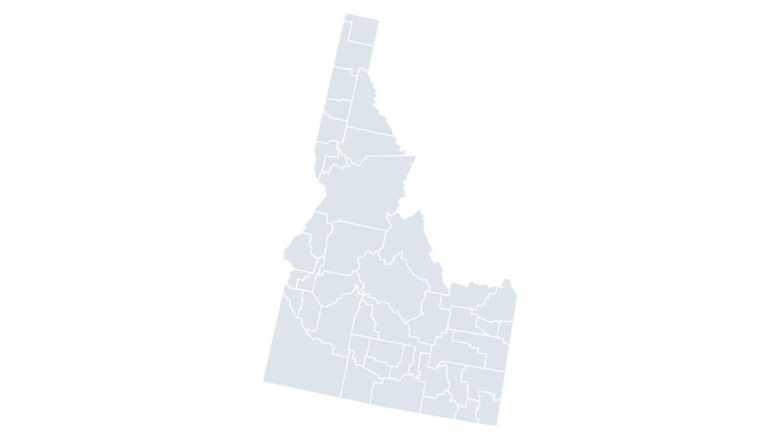
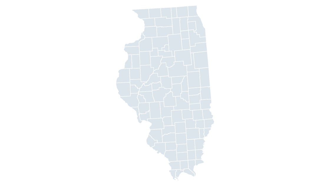
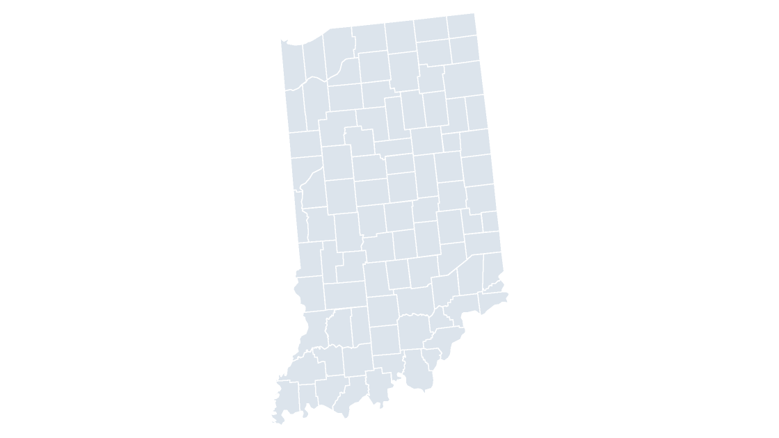
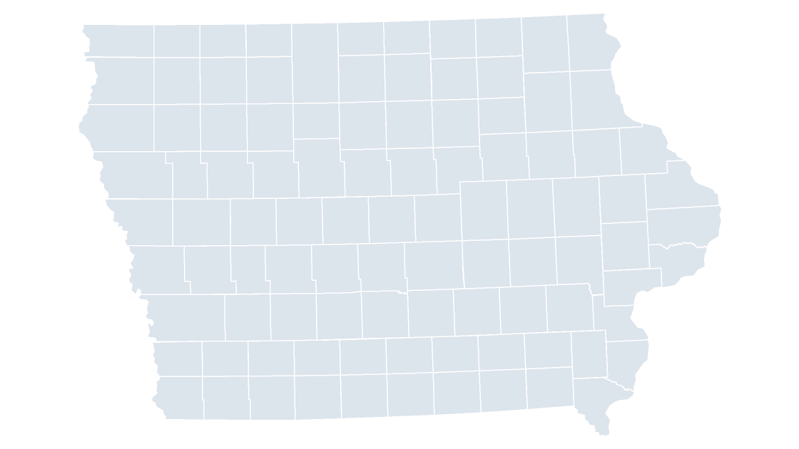
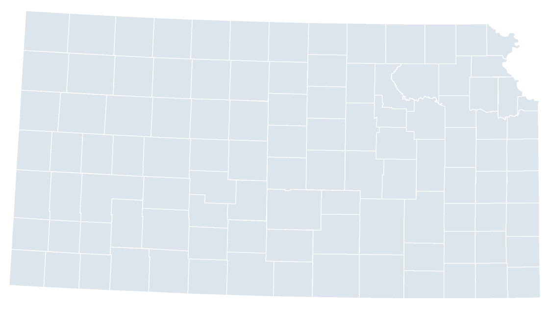
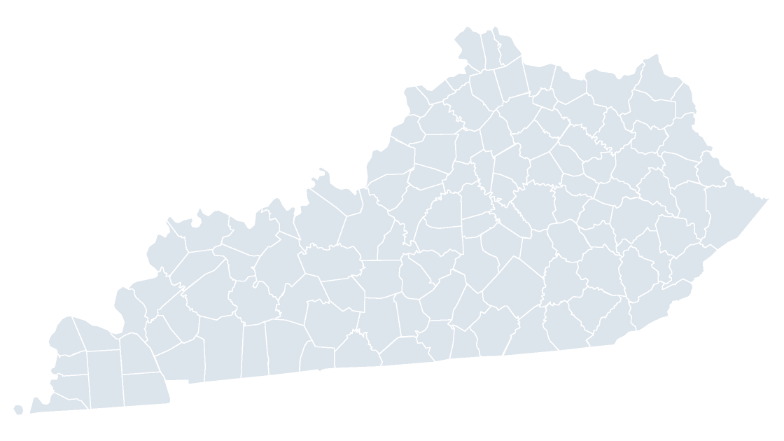
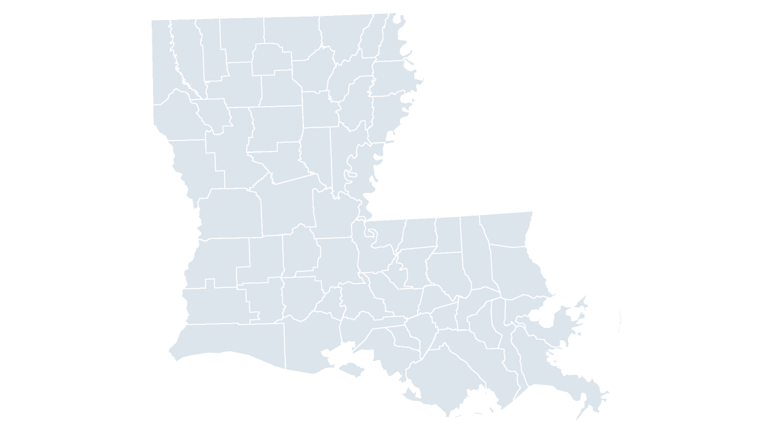
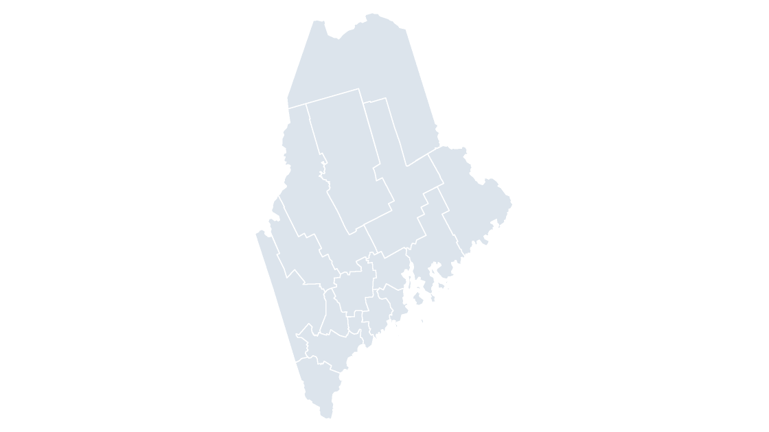
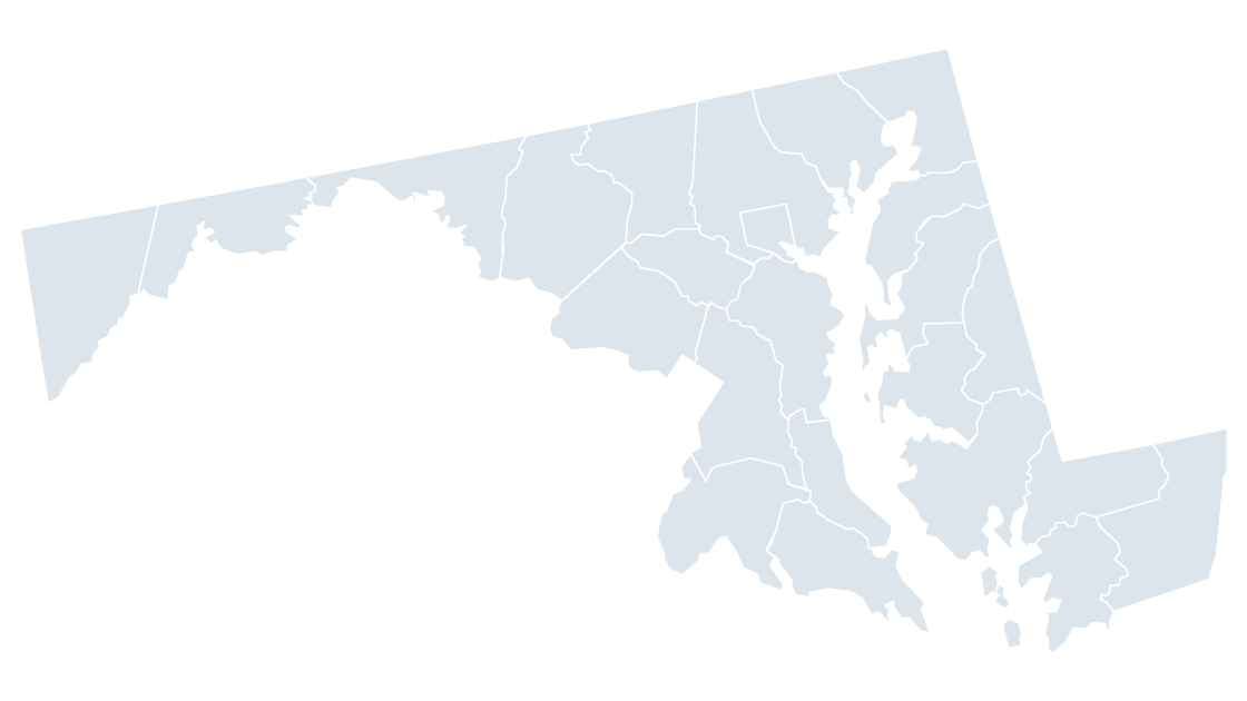
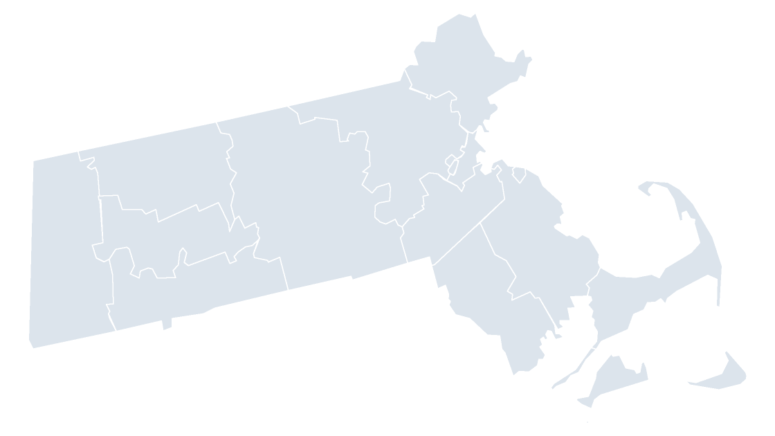
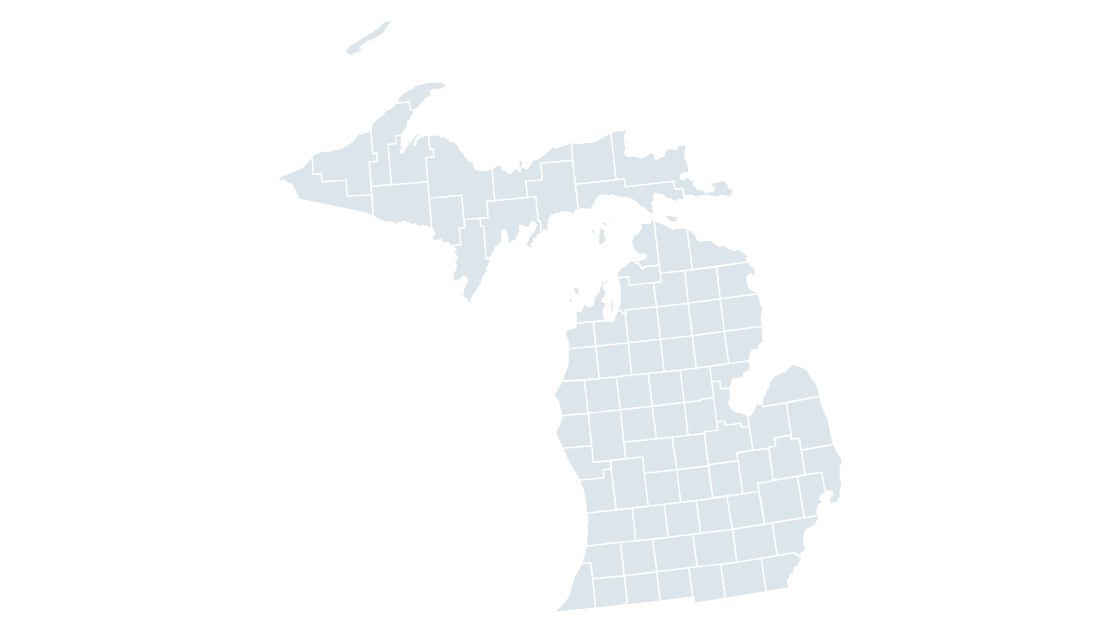
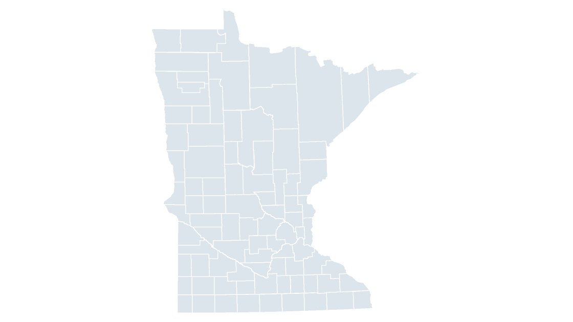
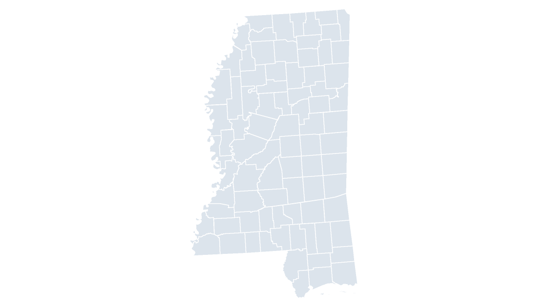
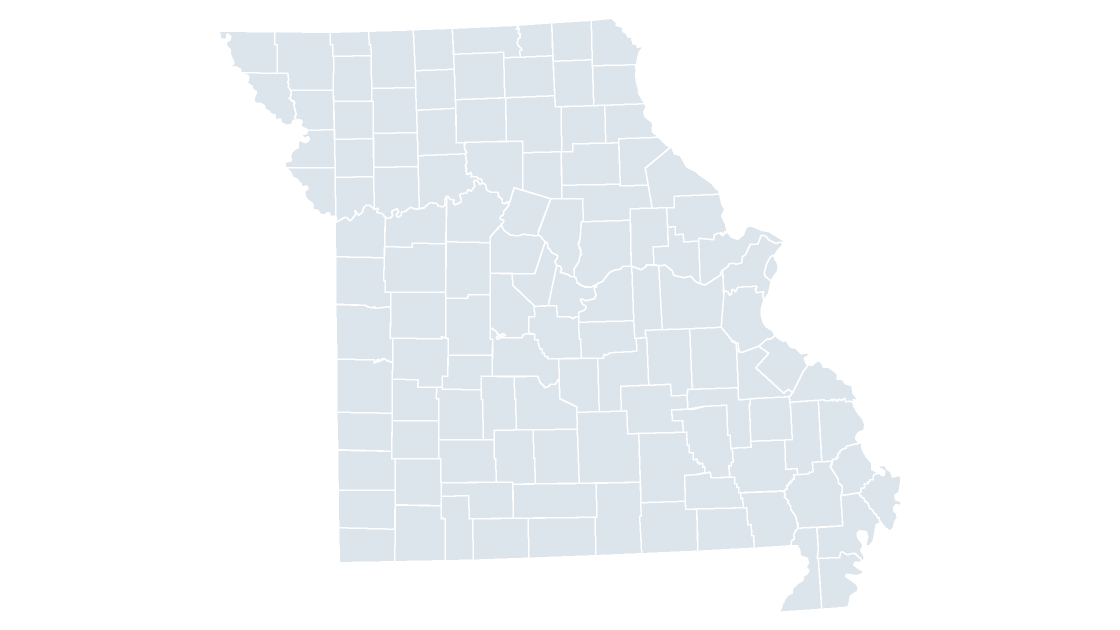
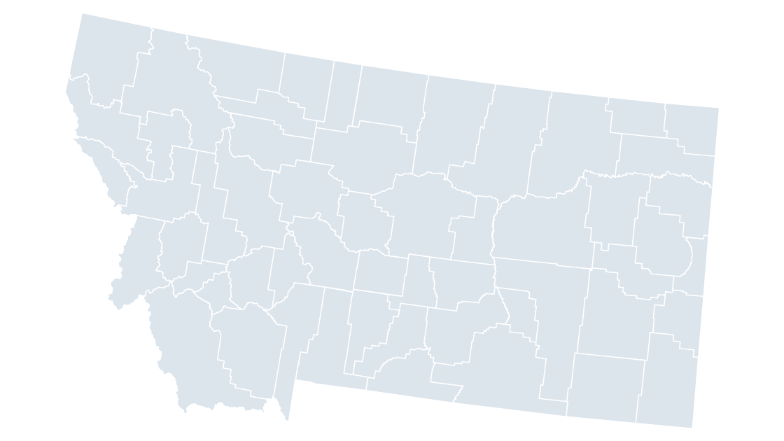
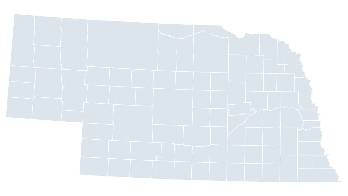
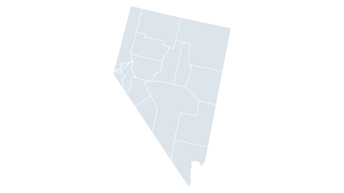
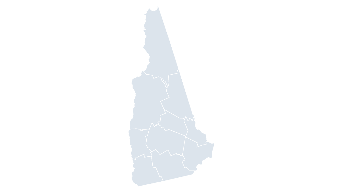
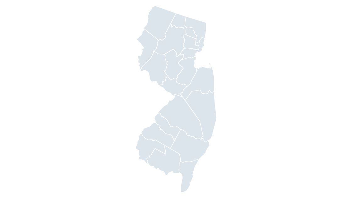
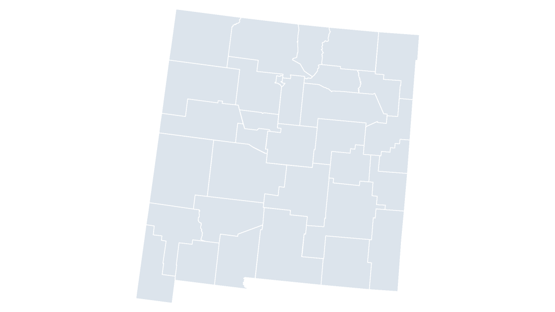
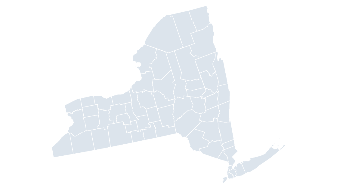
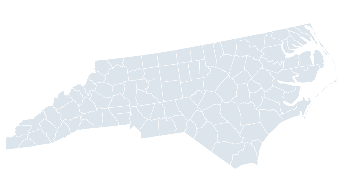
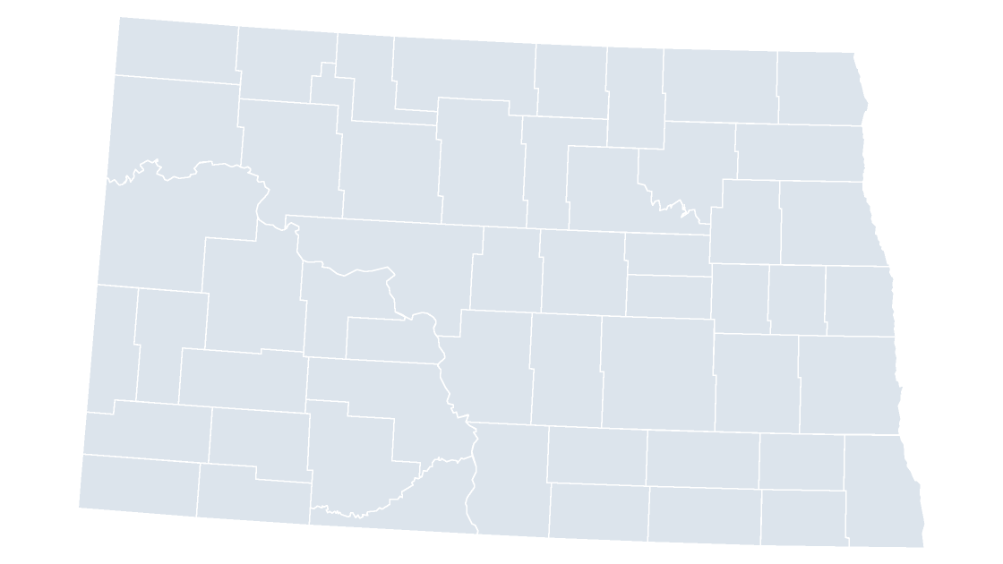
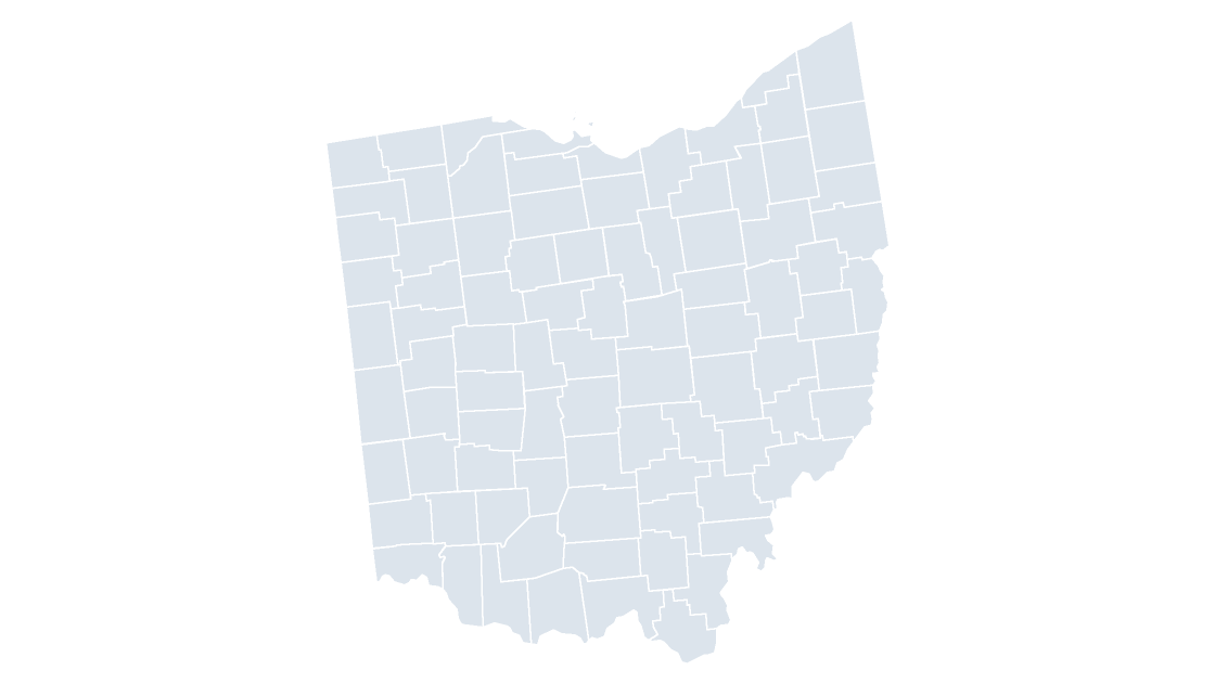
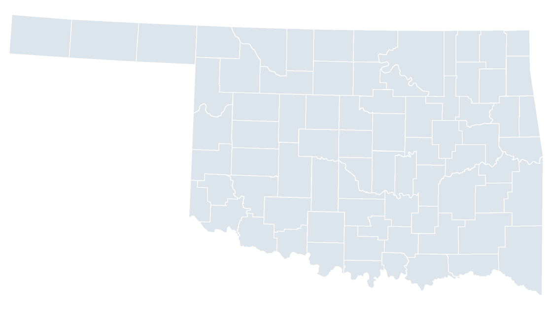
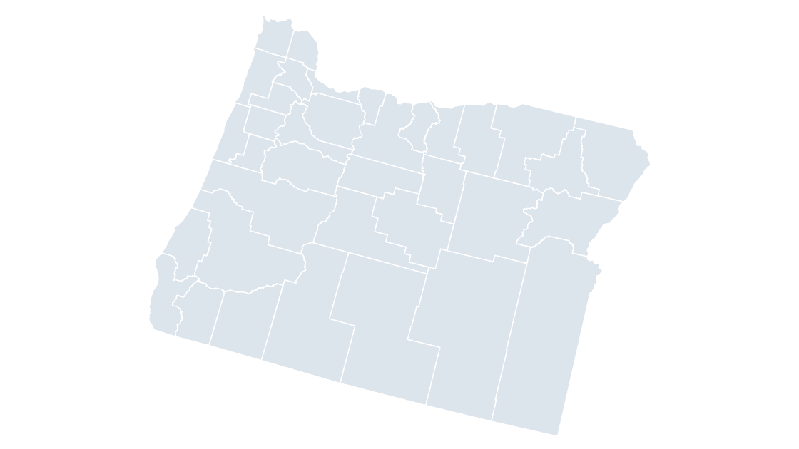
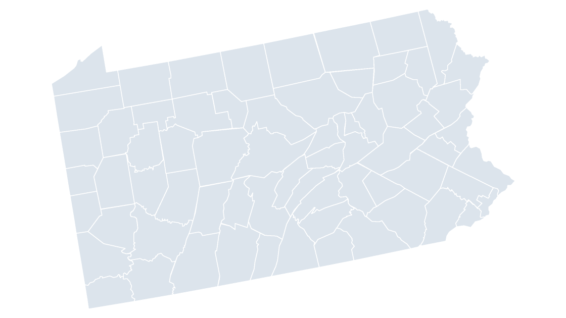
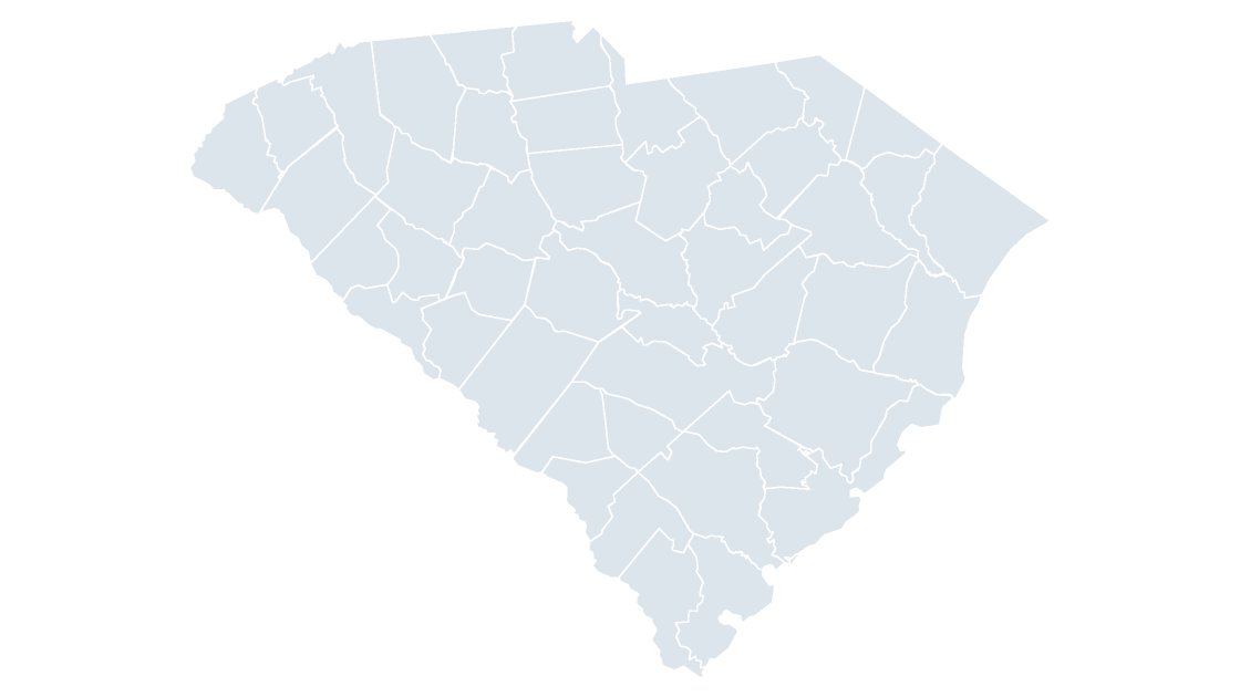
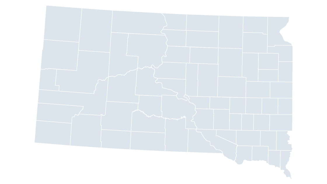
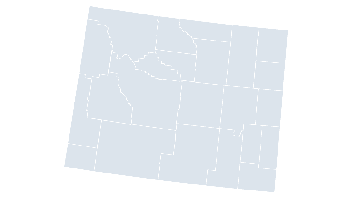
Each deck is built the same way: the map on a slide of its own, a labeled reference slide listing every unit, and the same map in three color themes. Nothing is grouped and nothing is a picture, so clicking a county selects that county and leaves its neighbors where they are.
What changes between decks is the number of shapes and how much room a label has. California has 58 counties to place and Texas has 254, which is what the reference slide is for: the name that will not fit on the map is already printed on the next slide.
The national deck answers a country-level question — a coverage map, a market-share argument, a set of regions. A state deck answers the local one, at a size where county names sit on the map instead of in a legend.
Every shape carries the five-digit Census GEOID, the state code and the county code together. A table of county figures merges on that number. A table keyed on names will not: thirty-one counties in the fifty states are named Washington and twenty-six are named Franklin, and nothing in the name says which one you meant.
Questions
Can I buy a county map for a single state?
Yes. There is one deck per state alongside the national map, and each is a separate template at the same price.
Are there 3,225 or 3,144 counties?
3,144 counties and county equivalents cover the fifty states and D.C. The national slide draws 3,225 shapes because it also places Puerto Rico and the Virgin Islands in a Caribbean inset.
Do the county shapes carry a code I can join on?
Every shape carries its five-digit Census GEOID, which is the state code followed by the county code, so a table merges on an identifier rather than on a name.