 $19.99
Autonomous communities
Spain Autonomous Communities
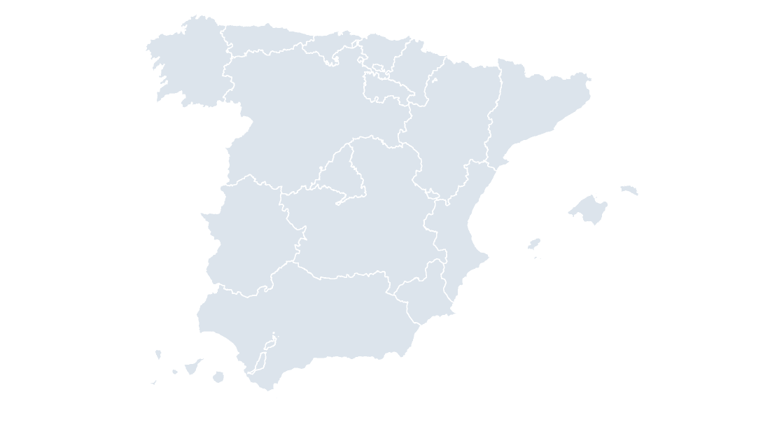
The 19 autonomous communities as editable shapes, with the provincial borders drawn over the top.
19 autonomous communities
388 KB
Every template is a .pptx that opens in PowerPoint, Keynote and Google Slides, and ungroups into separately editable areas. Use them for regional reporting, market sizing, coverage and catchment maps, planning and public affairs work. $19.99 per template, with the download link issued once payment is confirmed.
$19.99
The 19 autonomous communities as editable shapes, with the provincial borders drawn over the top.
 $19.99
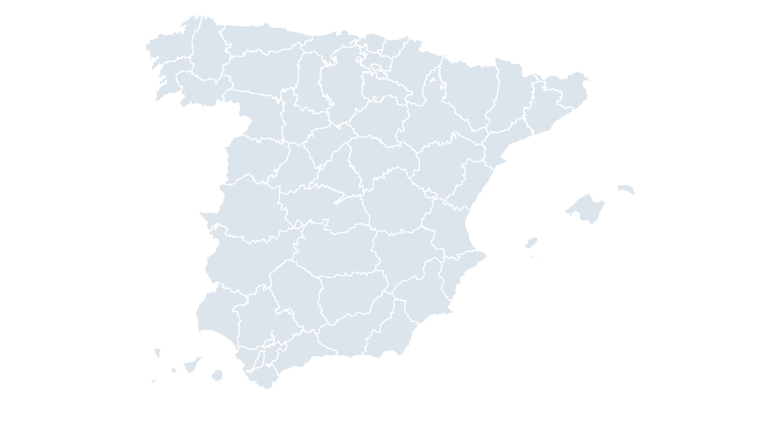
All 52 provinces, with the municipal borders drawn over the top.
 $19.99
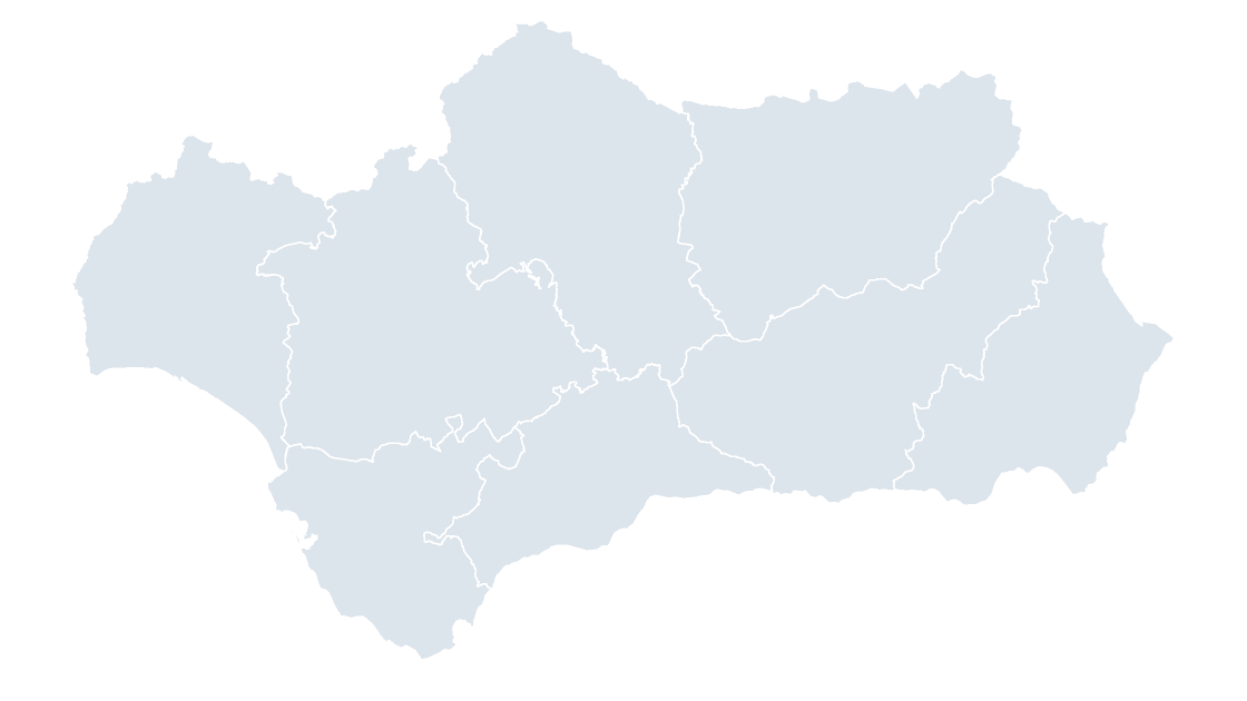
Andalusia — eight provinces in the Guadalquivir basin, the largest community by population
 $19.99
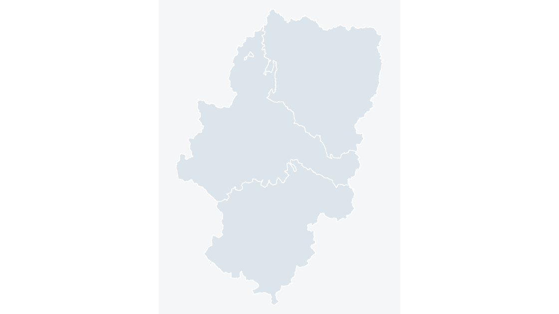
Aragon — three provinces spanning the Ebro valley and the Pyrenean axis
 $19.99
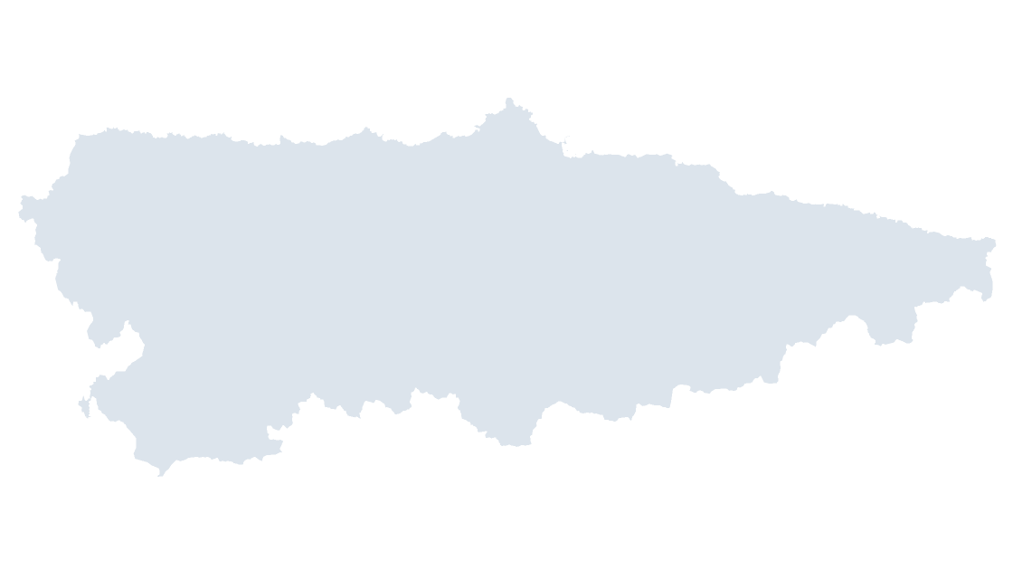
Asturias — one province that is also the community, from the Bay of Biscay to the Picos de Europa
 $19.99
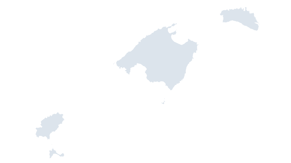
Balearic Islands — the Balearic archipelago as one province and one community
 $19.99
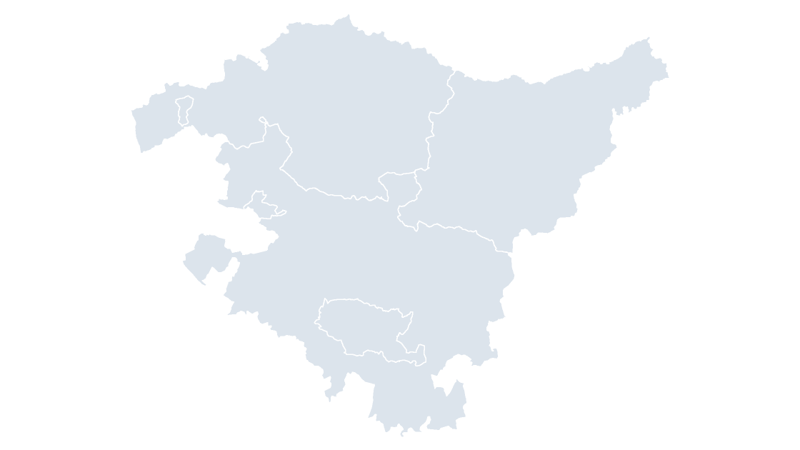
Basque Country — three provinces sharing a coastline, a mountain interior and their own fiscal regime
 $19.99
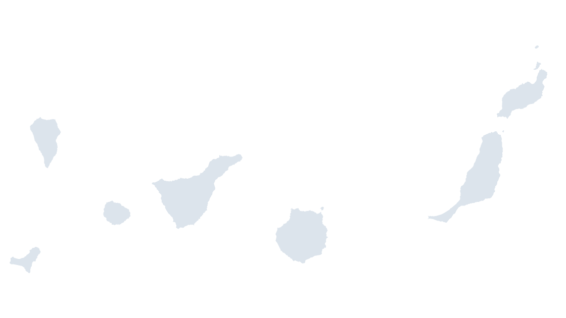
Canary Islands — two provinces across seven inhabited islands, 1,000 km from the mainland
 $19.99
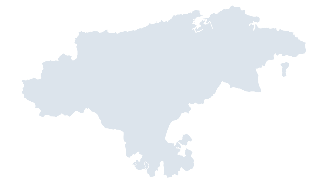
Cantabria — one province that is also the community, along the Bay of Biscay
 $19.99
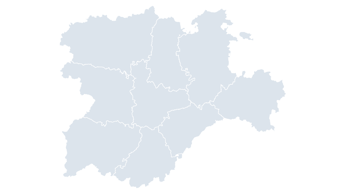
Castile and León — nine provinces, the largest community on the plateau and the one with the most municipalities of any
 $19.99
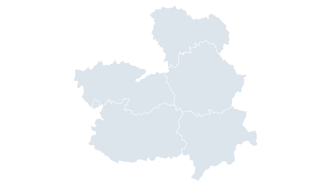
Castilla-La Mancha — five provinces on the southern plateau, from the Tagus to the Segura headwaters
 $19.99
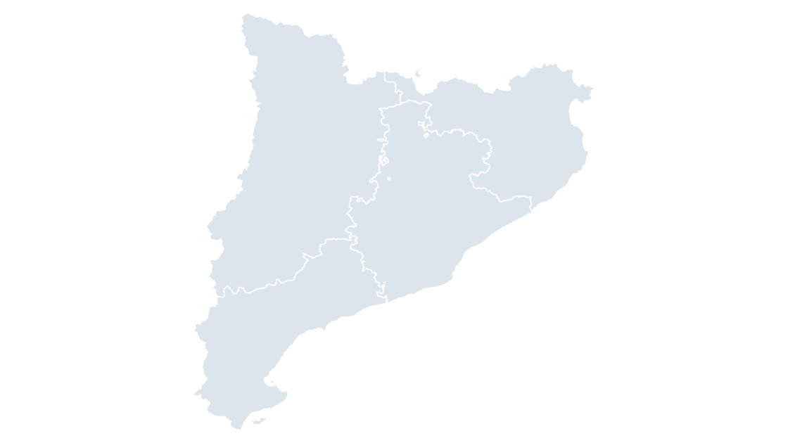
Catalonia — four provinces from the Pyrenees to the Ebro delta, the Mediterranean community with the most municipalities
 $19.99
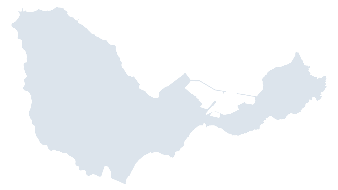
Ceuta — the autonomous city on the African shore of the Strait of Gibraltar
 $19.99
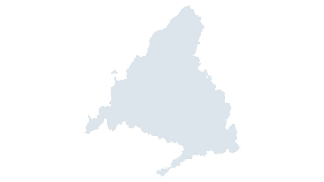
Community of Madrid — one province that is also the community, the country's capital region
 $19.99
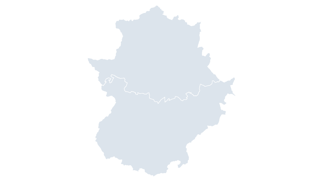
Extremadura — two provinces along the Portuguese border, with the Tagus running through both
 $19.99
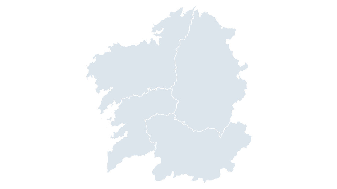
Galicia — four Atlantic provinces and the only community whose whole territory drains west
 $19.99
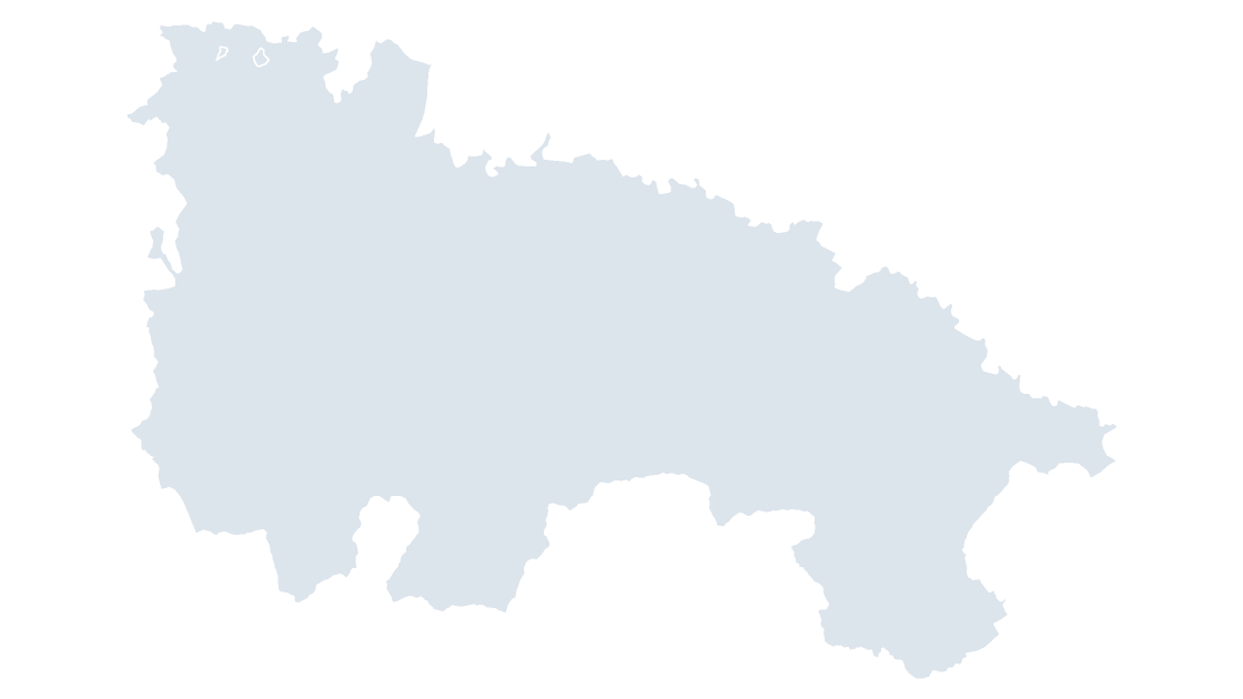
La Rioja — one province that is also the community, the Ebro's wine corridor
 $19.99
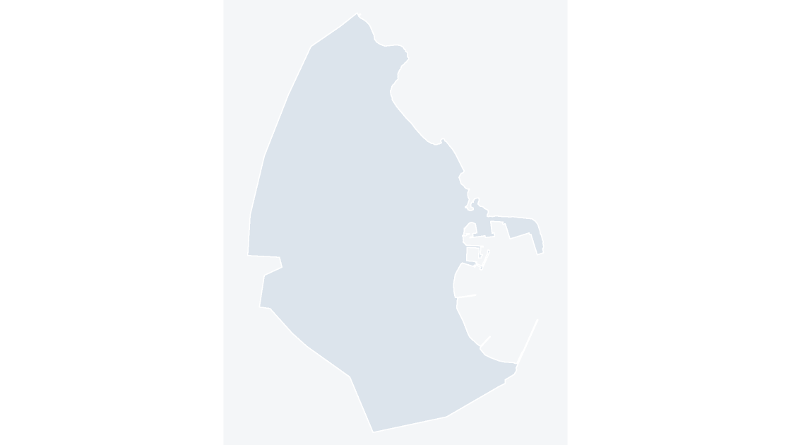
Melilla — the autonomous city on the Moroccan coast facing the Gurugú mountain
 $19.99
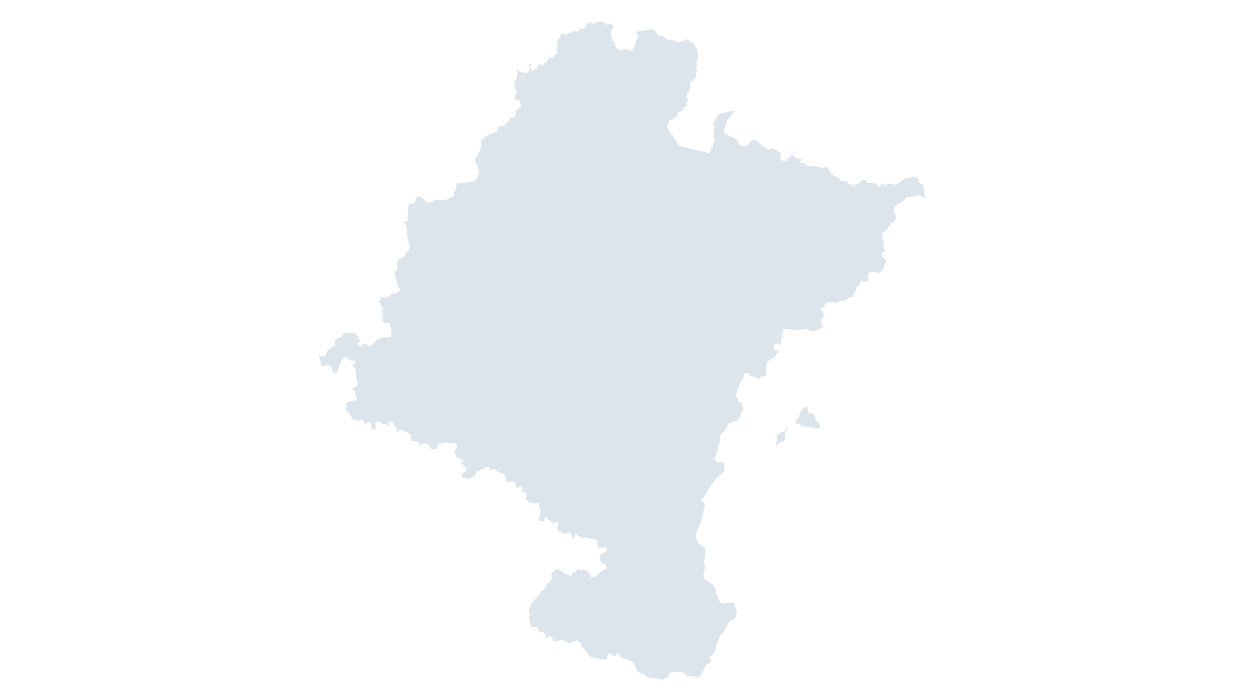
Navarre — one province that is also a foral community, astride the Ebro's upper corridor
 $19.99
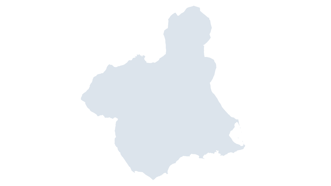
Region of Murcia — one province that is also the community, on the Segura's garden plain
 $19.99
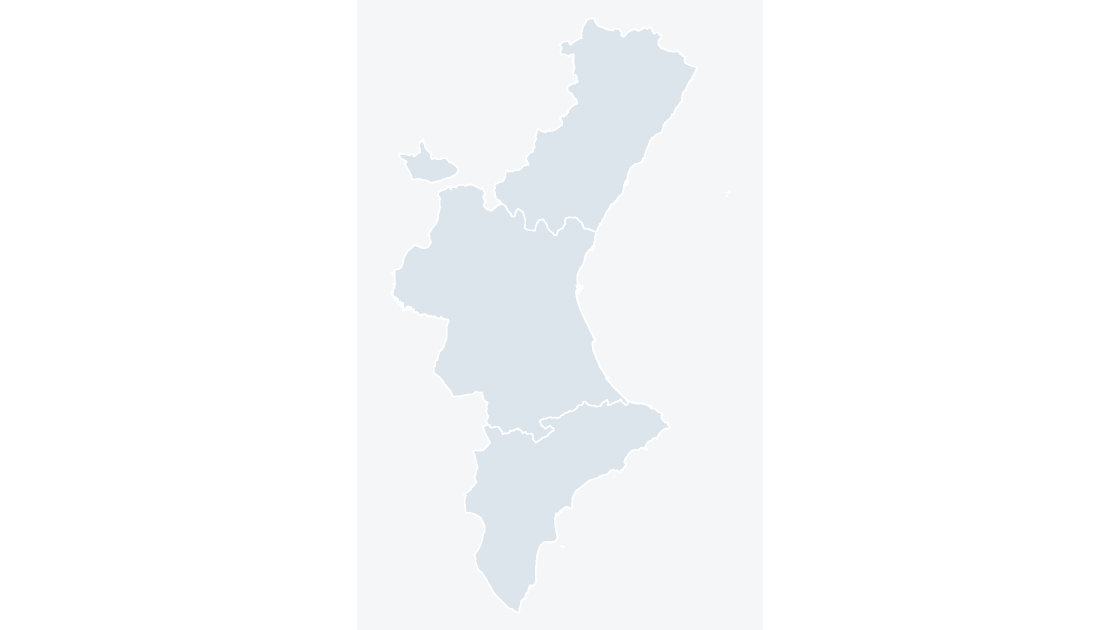
Valencian Community — three provinces whose coastal plain narrows to a single corridor inland
 $19.99
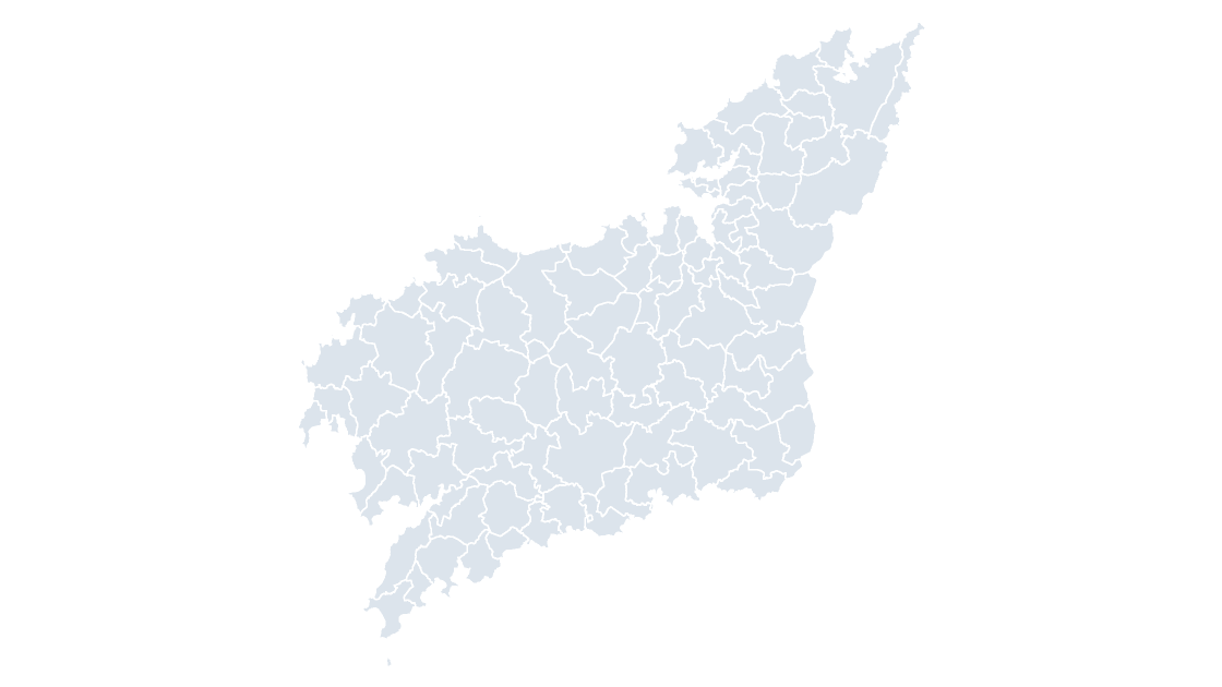
All 93 municipalities of A Coruña — the Atlantic rías of Galicia's north coast, from Ferrol to Camariñas
 $19.99
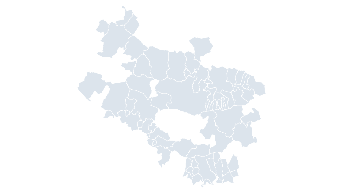
All 51 municipalities of Álava — the smallest of the three Basque provinces by area, and the one that holds the community's capital
 $19.99
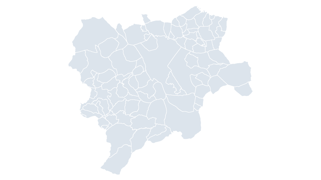
All 87 municipalities of Albacete — a province that behaves like a small region, cut through by the Madrid–Valencia corridor
 $19.99
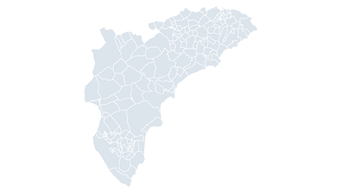
All 141 municipalities of Alicante — the province whose coastline gave its name to the Costa Blanca
 $19.99
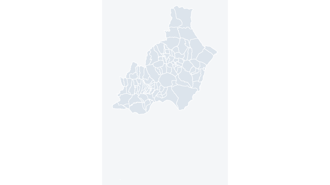
All 103 municipalities of Almería — Europe's largest concentration of greenhouse agriculture, on the driest corner of the continent
 $19.99
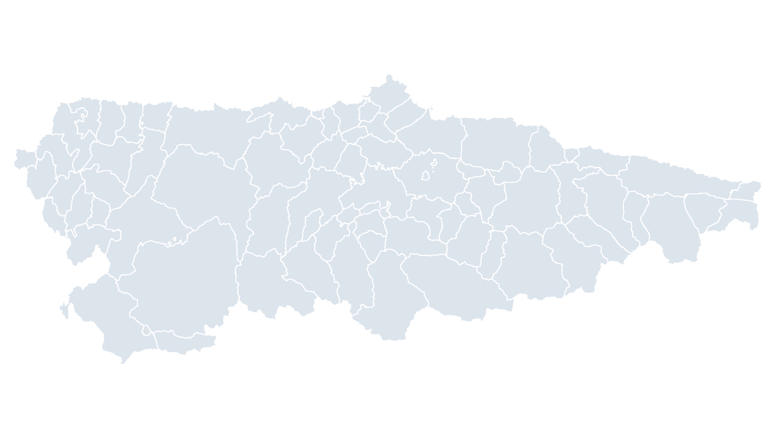
All 78 municipalities of Asturias — one province that is also one autonomous community, from the coast to the Picos
 $19.99
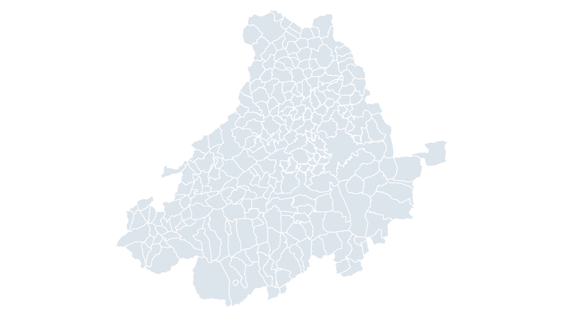
All 248 municipalities of Ávila — a walled city, mountain pasture and the highest provincial capital in Spain
 $19.99
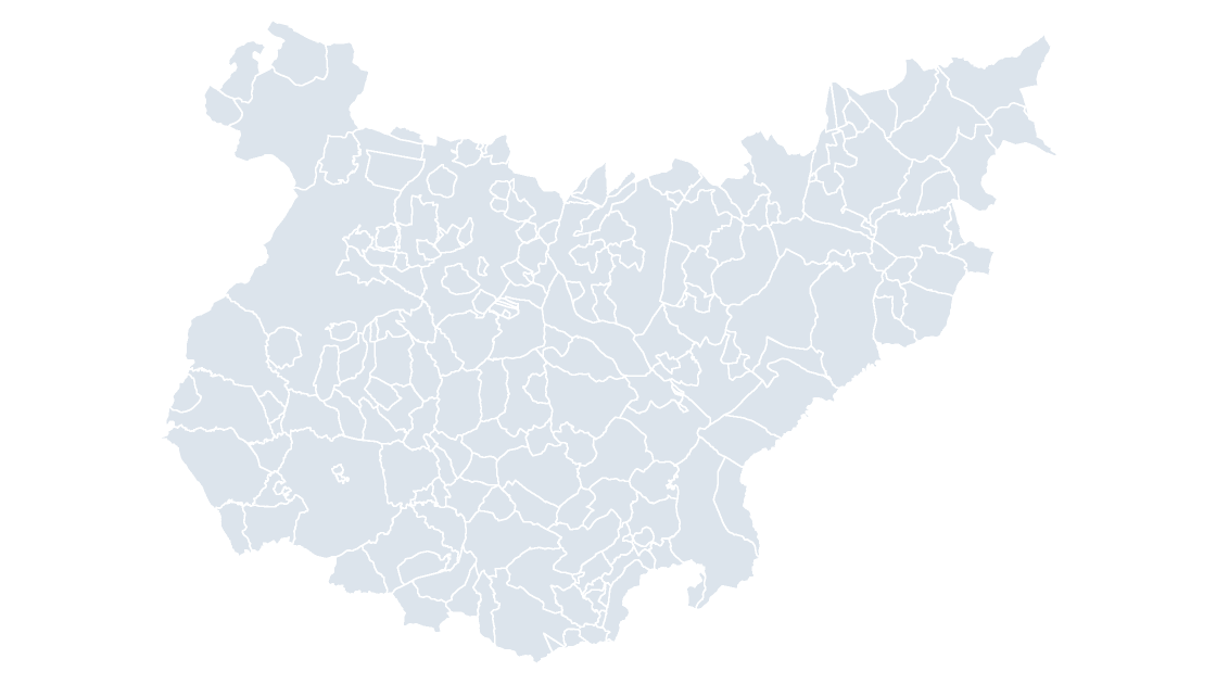
All 165 municipalities of Badajoz — the largest province by area on the mainland, running the length of the Portuguese border
 $19.99
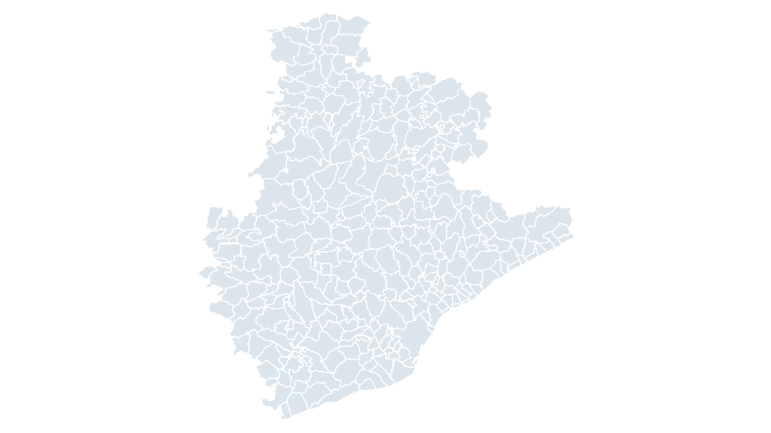
All 311 municipalities of Barcelona — the province with the most municipalities in Catalonia and the densest urban network in the country
 $19.99
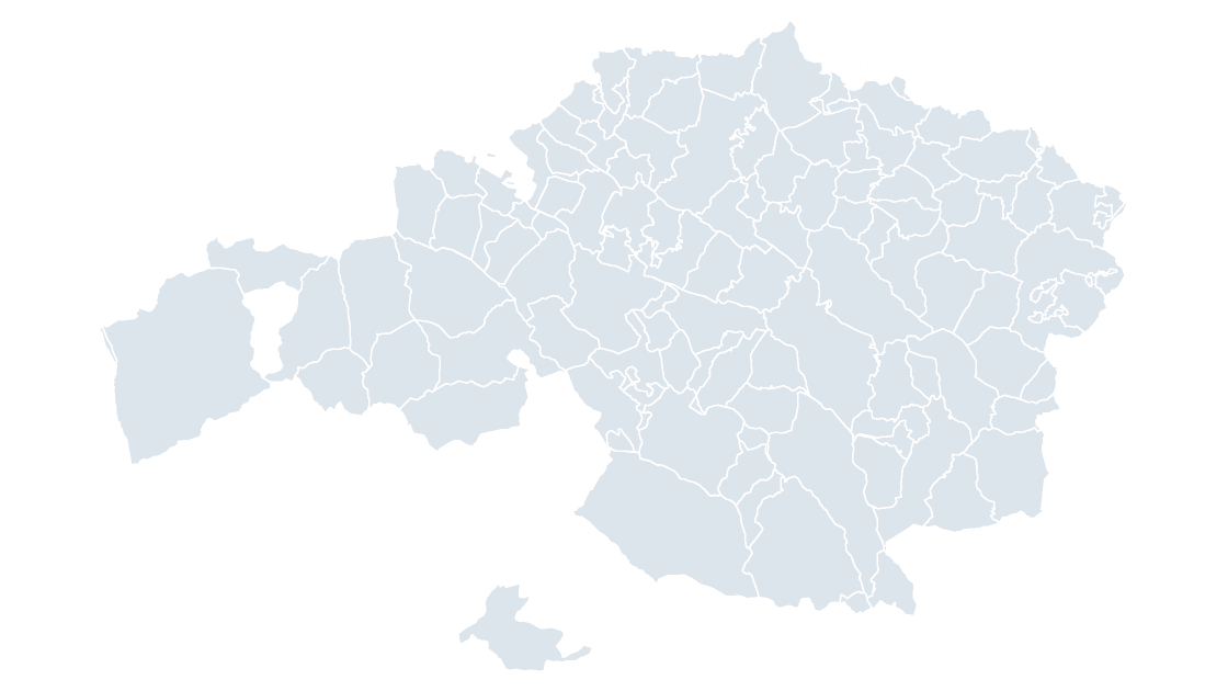
All 113 municipalities of Biscay — the most populous of the Basque provinces, from the Nervión estuary to the Encartaciones
 $19.99
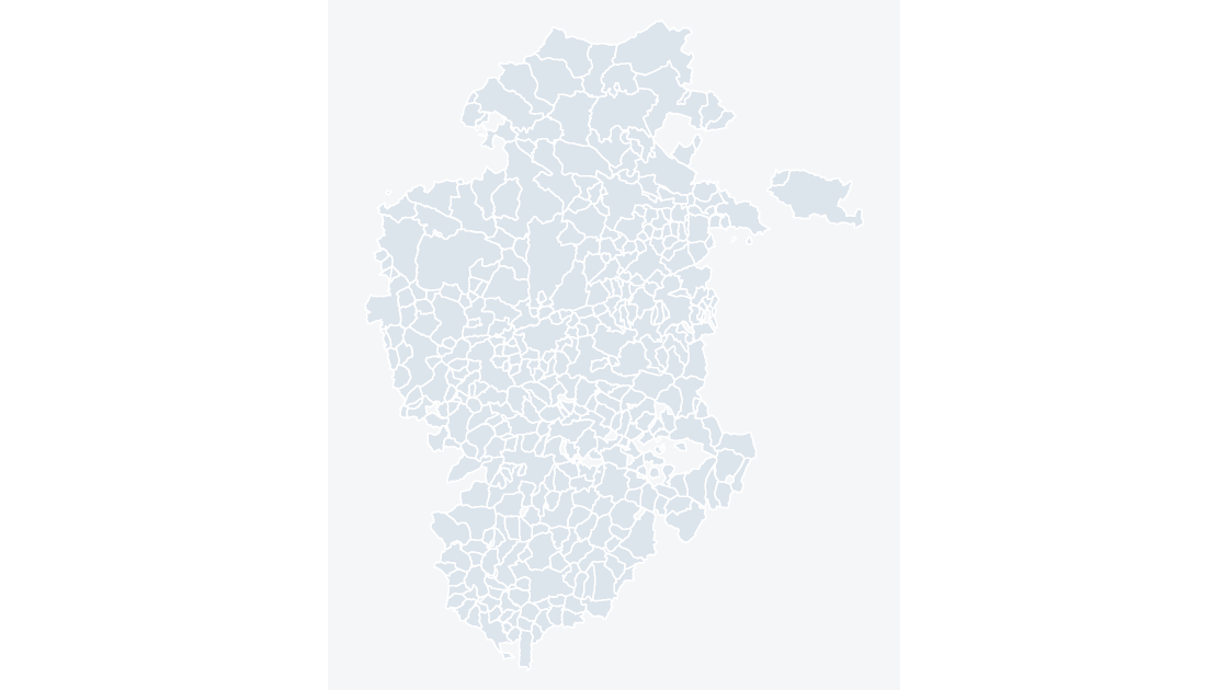
All 371 municipalities of Burgos — the largest province in Castile and León by area, from the Cantabrian watershed to the Duero valley
 $19.99
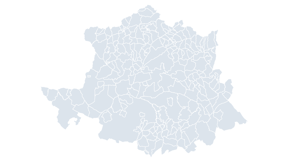
All 223 municipalities of Cáceres — the northern half of Extremadura, holding the Jerte, Ambroz and La Vera valleys
 $19.99
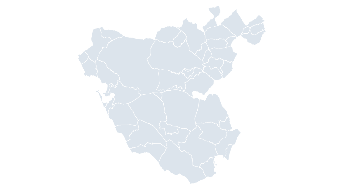
All 45 municipalities of Cádiz — the southernmost province on the continent, with the White Towns along its inland edge
 $19.99
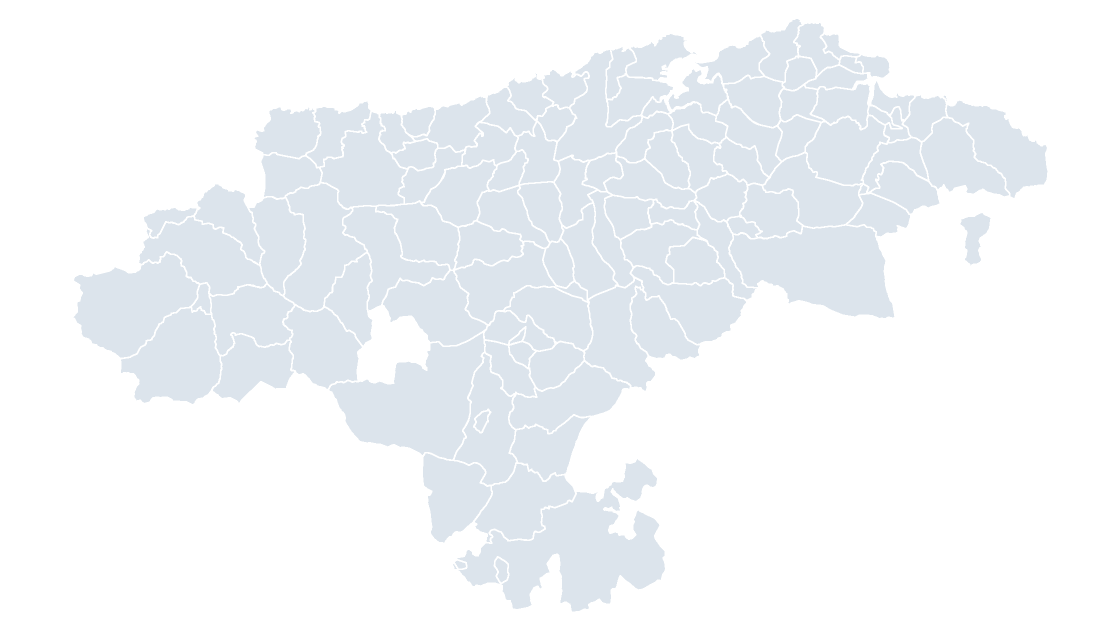
All 102 municipalities of Cantabria — one province that is also one autonomous community, along the Bay of Biscay
 $19.99
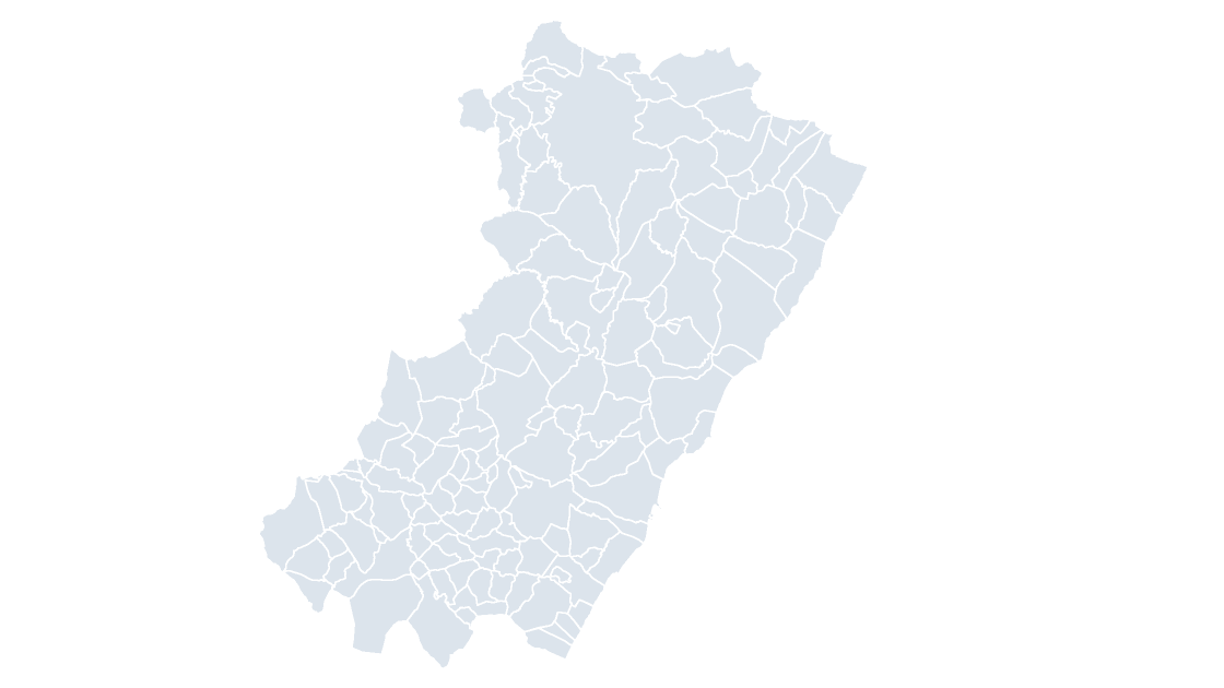
All 135 municipalities of Castellón — the narrowest province on the Mediterranean, where the Iberian range meets the sea
 $19.99
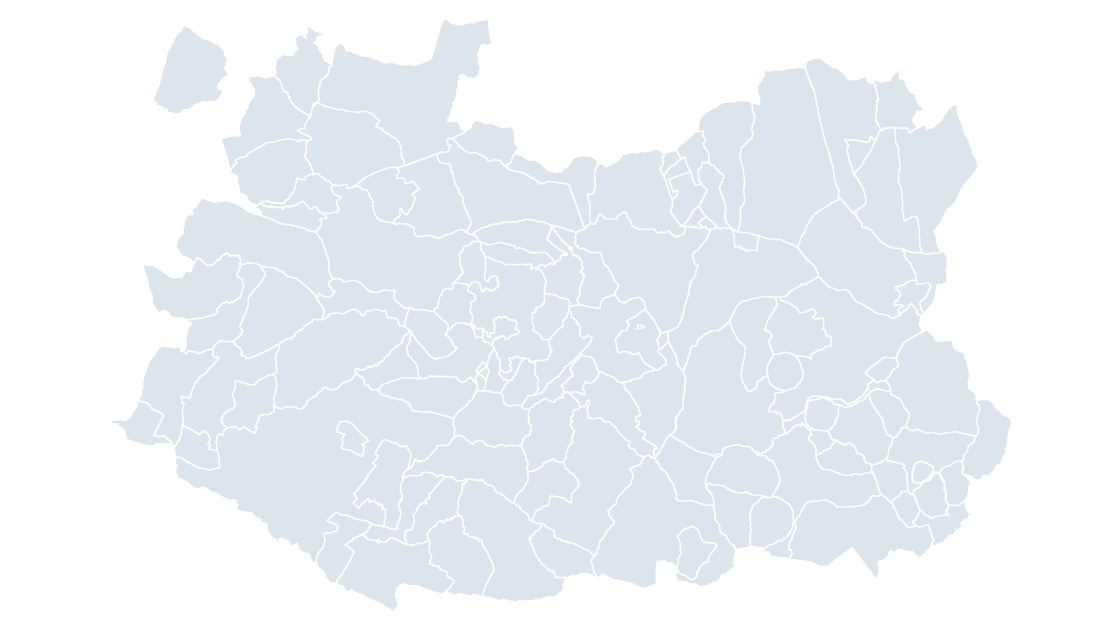
All 102 municipalities of Ciudad Real — the heart of La Mancha, crossed by the Guadiana and its floodplain vineyards
 $19.99
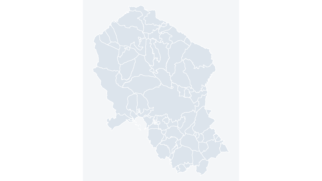
All 77 municipalities of Córdoba — the Guadalquivir valley at its widest, with Sierra Morena closing the north
 $19.99
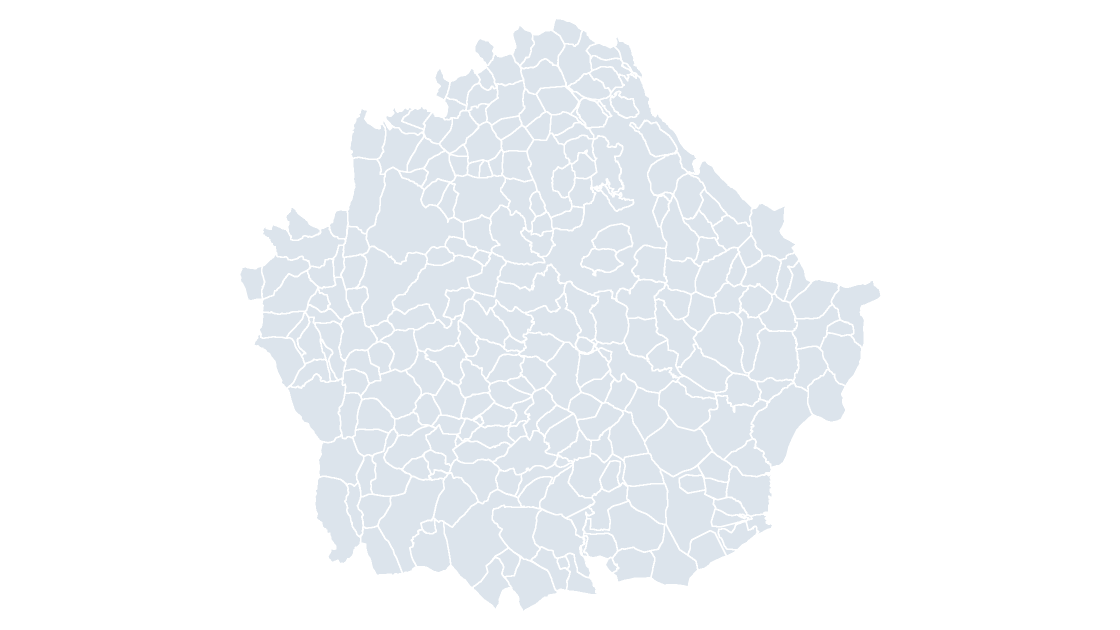
All 238 municipalities of Cuenca — the Serranía's eroded limestone country, where the Júcar cuts its serpent reaches
 $19.99
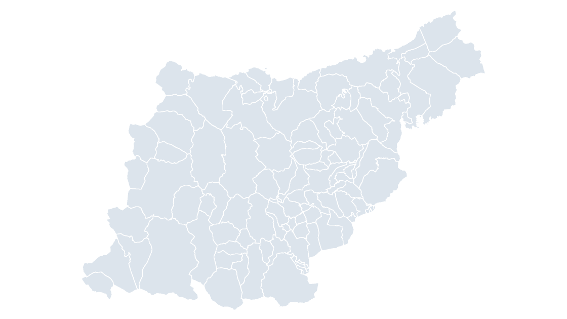
All 88 municipalities of Gipuzkoa — the shortest coastline of the three Basque provinces, and the most mountainous inland
 $19.99
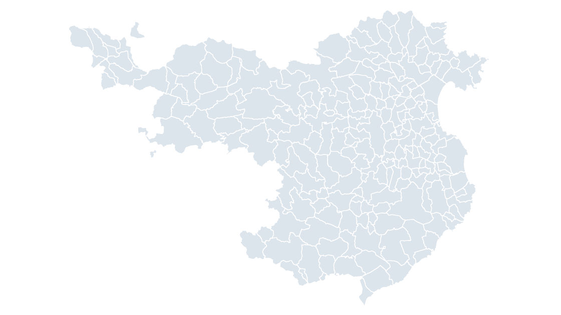
All 221 municipalities of Girona — the province that holds both the Pyrenean watershed and the Costa Brava
 $19.99
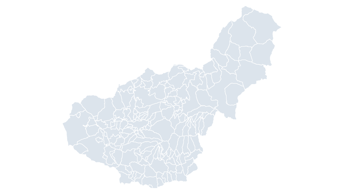
All 174 municipalities of Granada — the only province with a Mediterranean coast and a 3,000-metre peak inside its borders
 $19.99
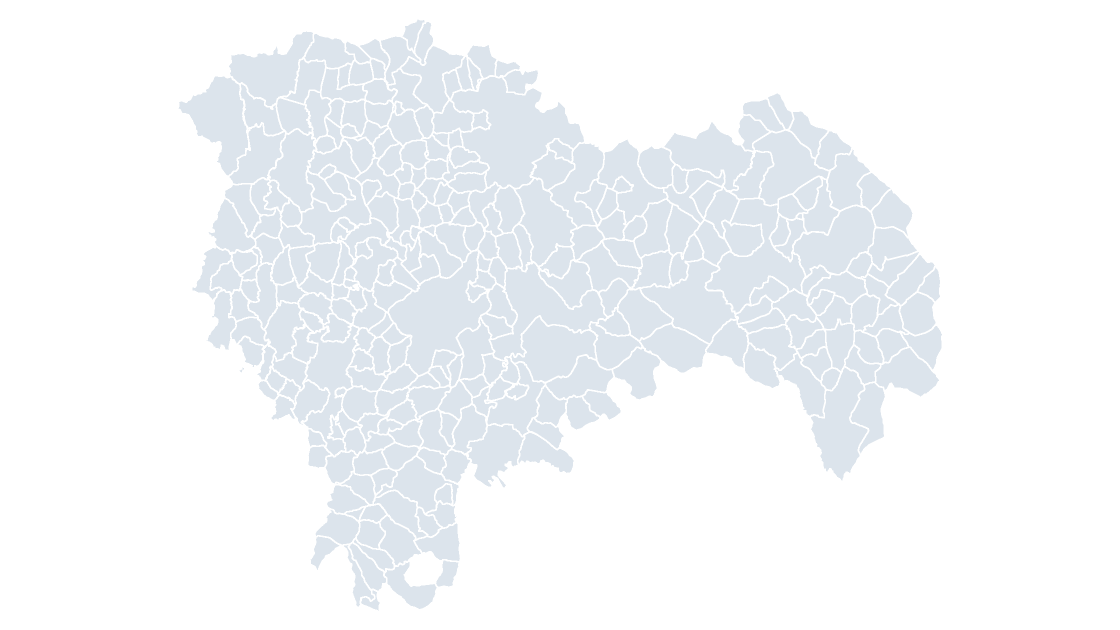
All 288 municipalities of Guadalajara — the province that closes Madrid's approach to the Sistema Ibérico
 $19.99
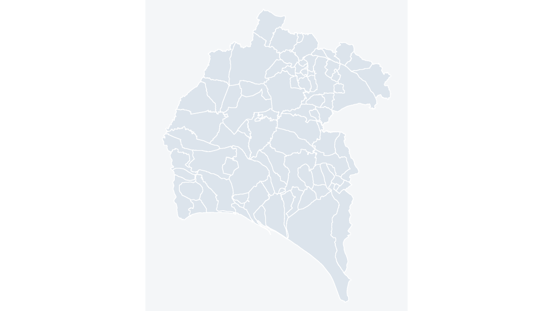
All 80 municipalities of Huelva — where the Odiel and Tinto estuaries meet the Atlantic, under the Rio Tinto mining country
 $19.99
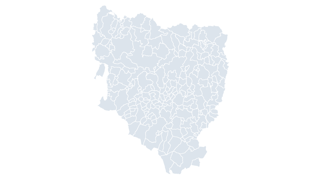
All 202 municipalities of Huesca — the Pyrenees at their highest on the Spanish side, Aneto and the Maladeta massif included
 $19.99
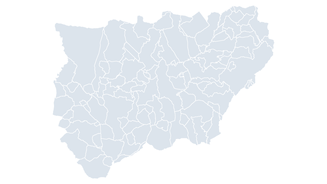
All 97 municipalities of Jaén — the province with the most municipalities in Andalusia, and the largest olive-growing area in the world
 $19.99
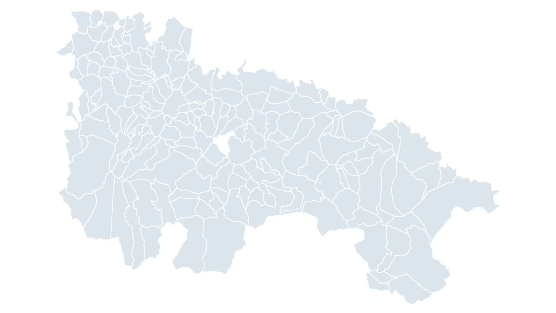
All 174 municipalities of La Rioja — the Ebro corridor province, where the Rioja Alta and Rioja Baja vineyards meet
 $19.99
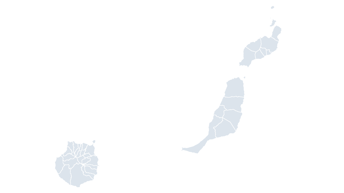
All 34 municipalities of Las Palmas — the eastern Canaries: Gran Canaria, Fuerteventura and Lanzarote
 $19.99
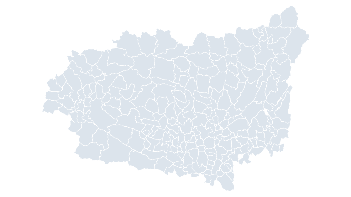
All 211 municipalities of León — the Bierzo valley, the Maragatería and the Ancares, in one province
 $19.99
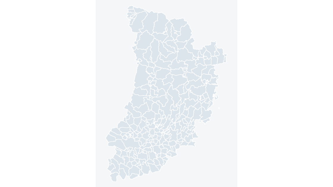
All 231 municipalities of Lleida — the Pyrenees of Catalonia, from the Val d'Aran to the Àger valley
 $19.99
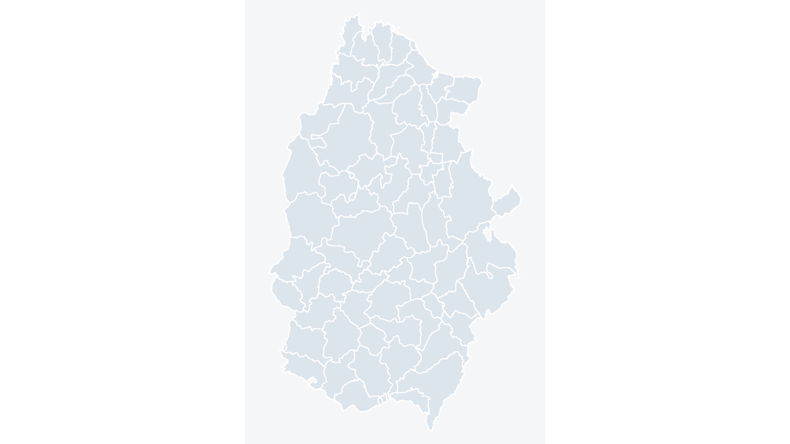
All 67 municipalities of Lugo — the province of the rías altas on the Cantabrian coast and the Ancares range
 $19.99
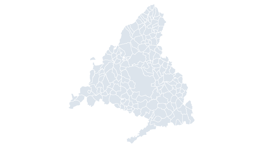
All 179 municipalities of Madrid — the single-city core of the Community of Madrid, with the Guadarrama range on its western edge
 $19.99
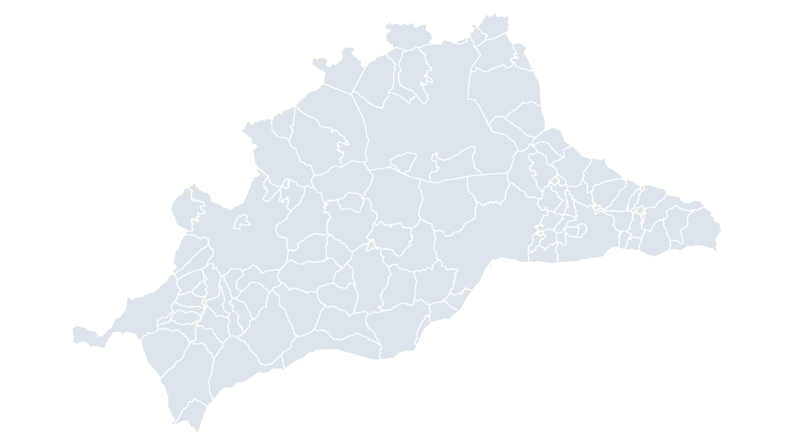
All 103 municipalities of Málaga — the Costa del Sol and the Axarquía, with the Tejeda range behind both
 $19.99
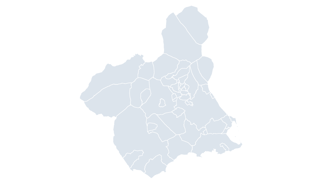
All 45 municipalities of Murcia — the Segura valley, the market-garden plain that gives the region its name
 $19.99
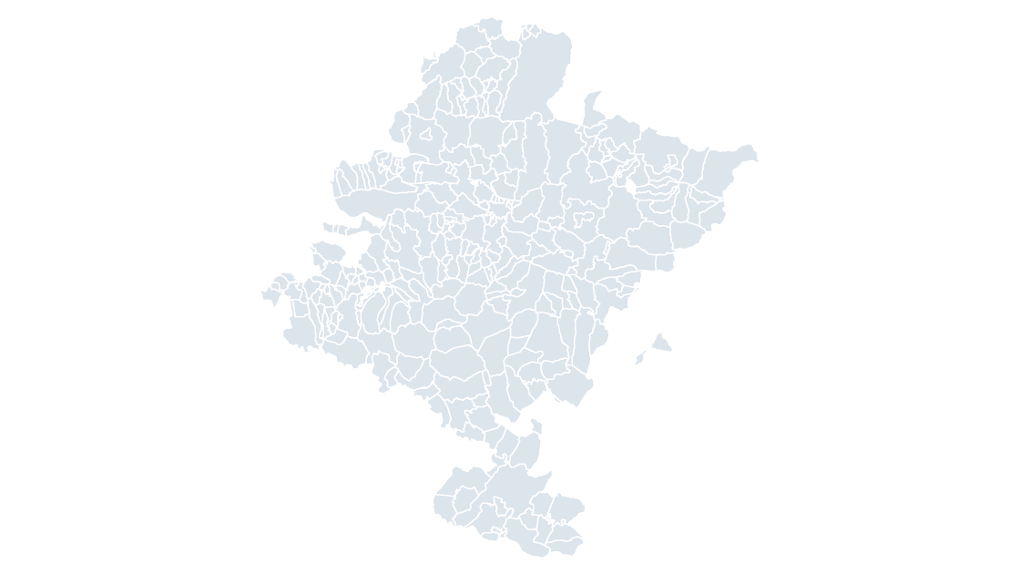
All 272 municipalities of Navarre — the Cuenca de Pamplona basin, where the Ebro corridor meets the Pyrenean approaches
 $19.99
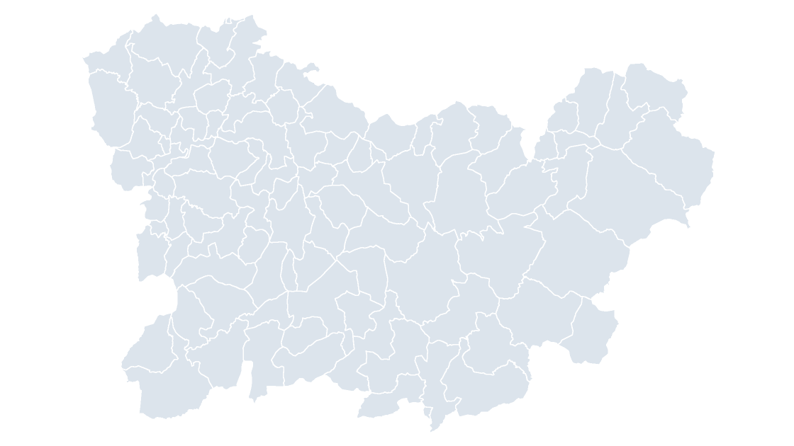
All 92 municipalities of Ourense — the province of Galicia's interior, with the Miño's thermal basins
 $19.99
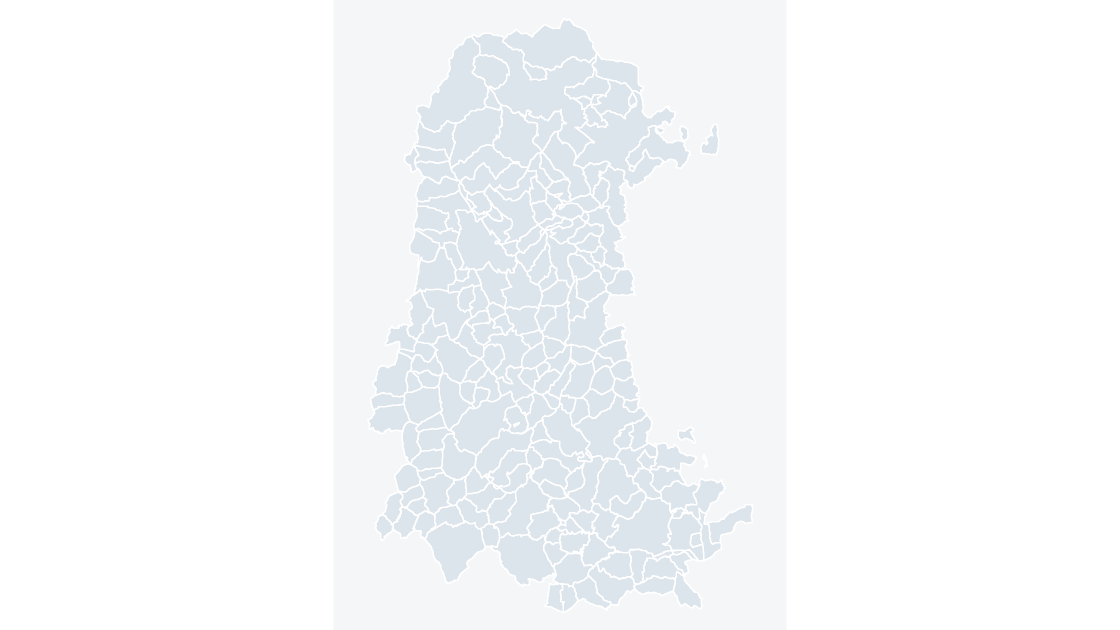
All 191 municipalities of Palencia — the Tierra de Campos plain, Castile's wheat country at its flattest
 $19.99
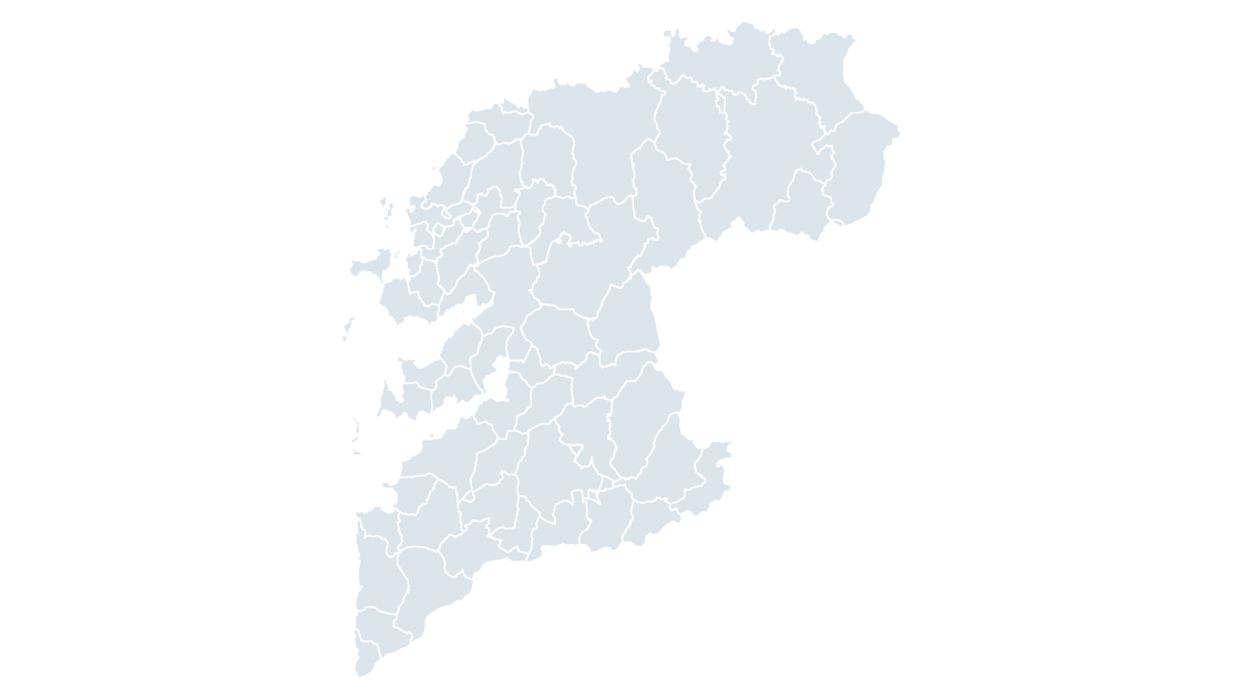
All 61 municipalities of Pontevedra — the rías baixas of Galicia's south coast and the Ulla and Umia valleys
 $19.99
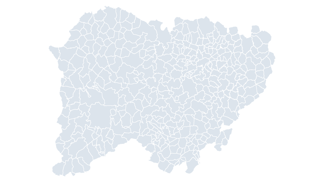
All 362 municipalities of Salamanca — the province with the most municipalities in Castile and León, from the Sierra de Francia to the Arribes
 $19.99
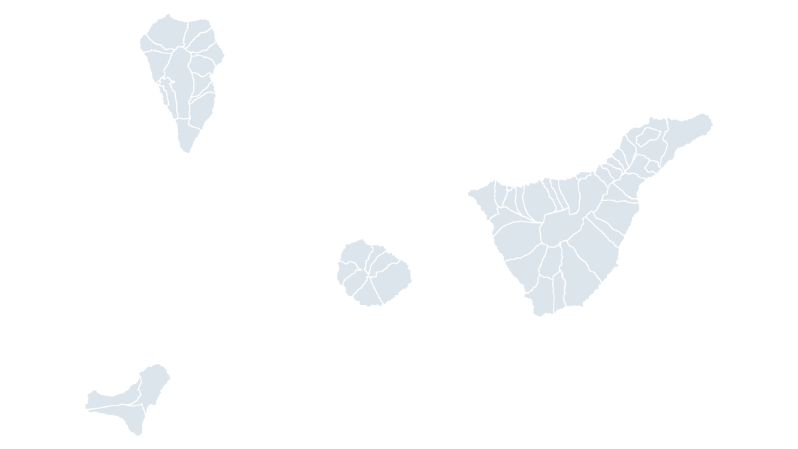
All 54 municipalities of Santa Cruz de Tenerife — the western Canaries: Tenerife, La Palma, La Gomera and El Hierro
 $19.99
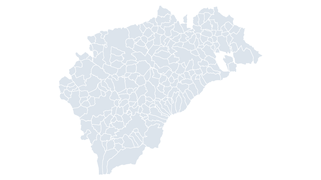
All 209 municipalities of Segovia — the Guadarrama range's north slope and the Coca forest
 $19.99
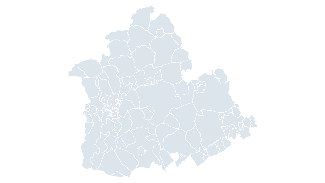
All 106 municipalities of Seville — the Guadalquivir valley at its lower reach, with the Aljarafe and the Doñana marshes
 $19.99
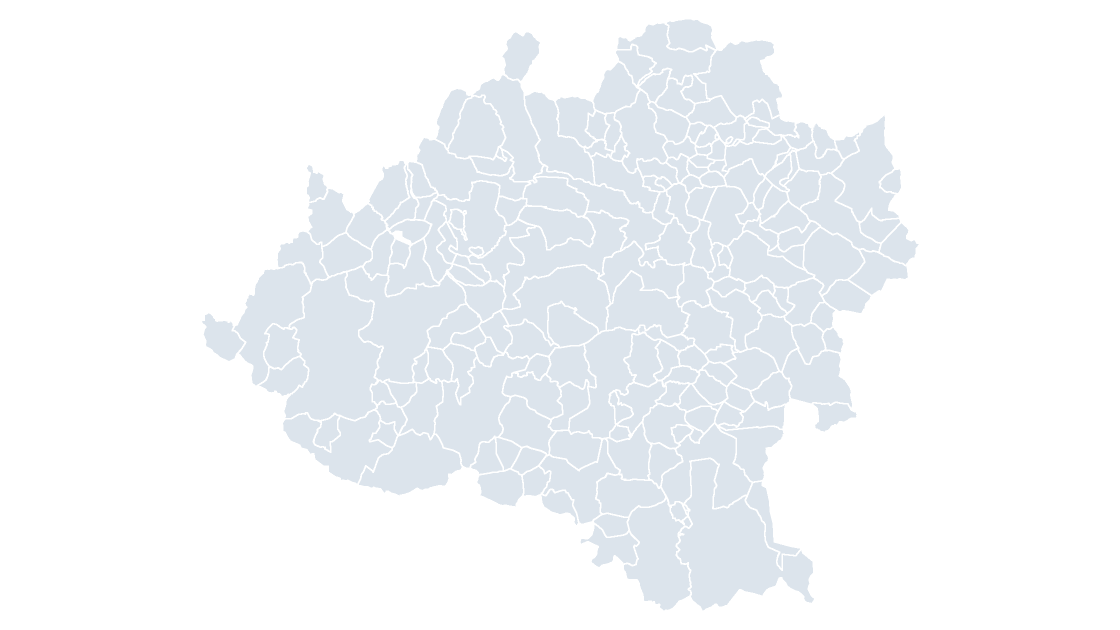
All 183 municipalities of Soria — the least populous province in Spain, holding the Iberian range's western watershed
 $19.99
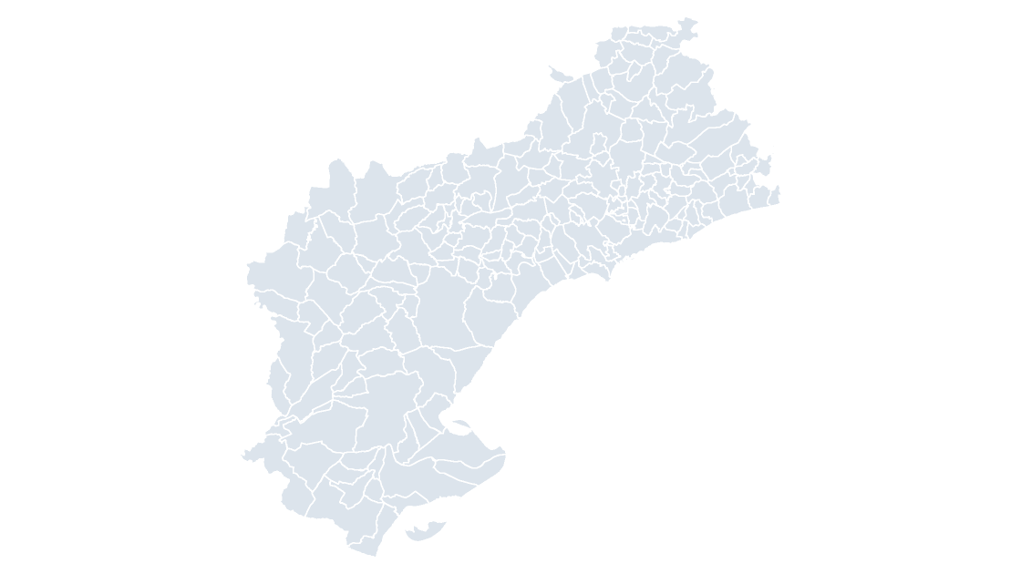
All 184 municipalities of Tarragona — the Costa Daurada and the Camp de Tarragona, with the Prades mountains inland
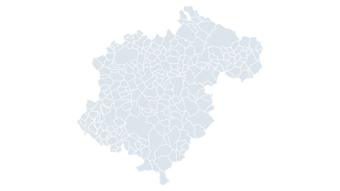 $19.99
All 236 municipalities of Teruel — the coldest province on the mainland and the one the Sistema Ibérico runs through
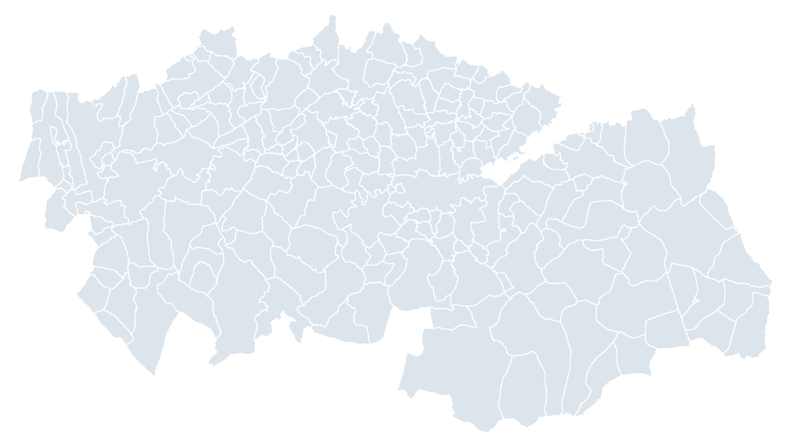 $19.99
All 204 municipalities of Toledo — the province that holds the historical capital of Castile, on the Tagus's north bank
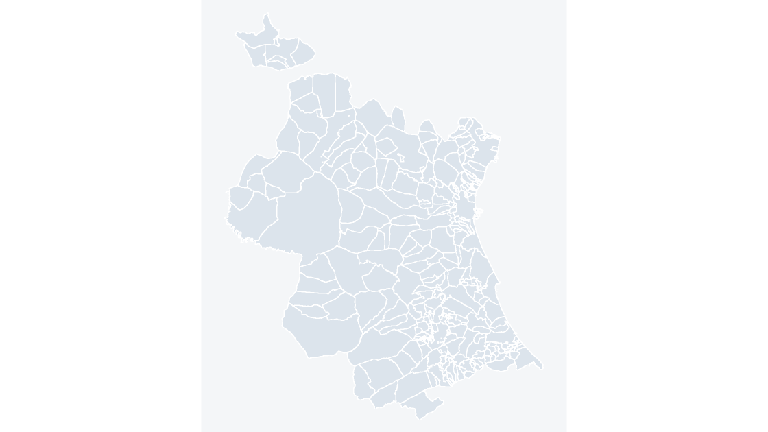 $19.99
All 266 municipalities of Valencia — the huerta of Valencia and the Serranía's river basins, in one province
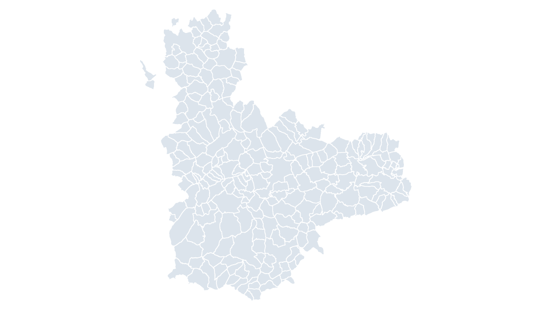 $19.99
All 225 municipalities of Valladolid — the Douro's wine country and Tierra de Campos at its center
 $19.99
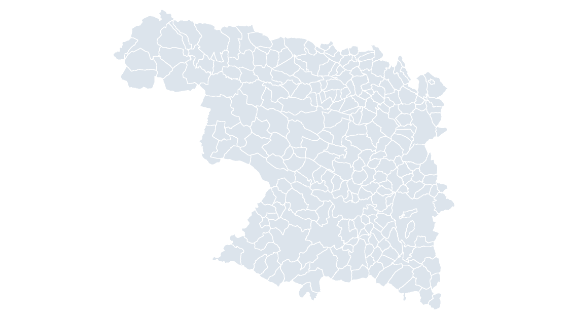
All 248 municipalities of Zamora — the Arribes del Duero and the Sanabria lake country
 $19.99
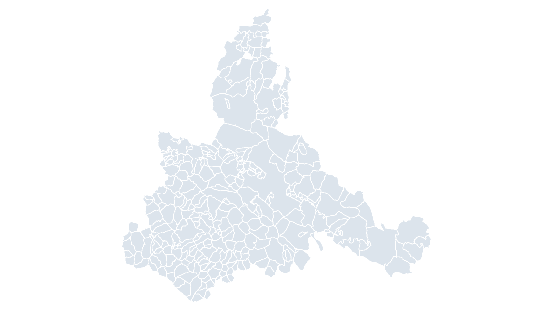
All 293 municipalities of Zaragoza — the Ebro corridor's widest province, from the Moncayo to the Monegros
 $19.99
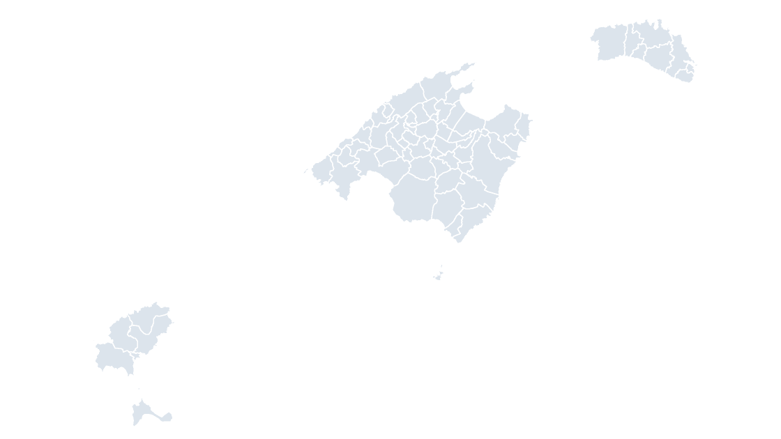
All 67 municipalities of the Balearic Islands — the Balearic archipelago as one province and one community
 $19.99
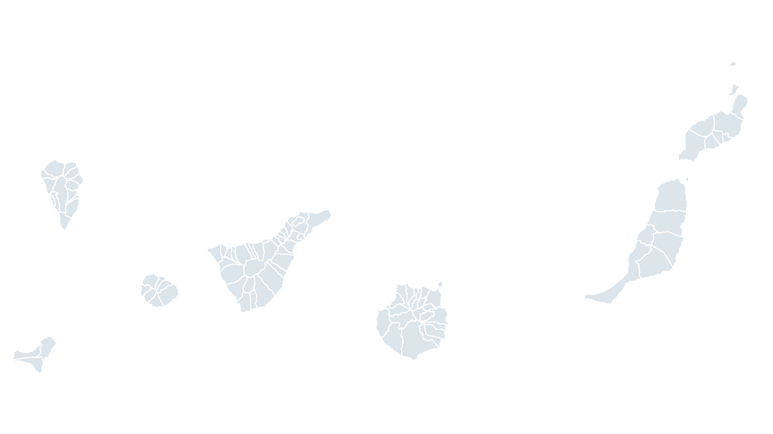
All 88 municipalities of the Canary Islands — two provinces across seven inhabited islands, 1,000 km from the mainland
Centro Nacional de Información Geográfica (CNIG), Instituto Geográfico Nacional. Boundaries registered in the Registro Central de Cartografía.