GeoSlides
Market: Spain
Browse templates
Spain/ Templates/Spain Autonomous Communities
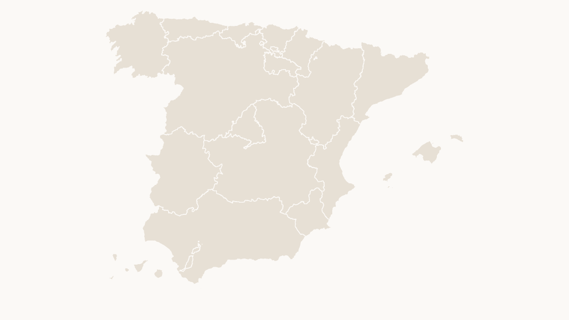
Spain Autonomous Communities map preview in the editorial theme

Preview shows the map slide in Editorial, Mono, Slate

Every template has the same eight slides

  1. Cover — the map's name and theme, on a slide you can put your own title over.
  2. Editing guide — ungroup, recolor, regroup, in three steps and without plugins.
  3. The map — every area at one flat color, the blank starting point for your own shading.
  4. Reference map — all 19 autonomous communities named, each carrying its national code, so nothing has to be looked up.
  5. Data map — five shaded classes and a legend, ready for your own figures instead of the sample ones.
  6. Spotlight — the largest few by area emphasised and the rest muted, for a single clear point.
  7. Working with the data — a data hand-off table.
  8. Source and license — the boundary release, the publisher and the license, printed on the slide so the deck carries its own provenance.

Centro Nacional de Información Geográfica (CNIG), Instituto Geográfico Nacional. Boundaries registered in the Registro Central de Cartografía.

$19.99 · all three themes Autonomous communities

Editable Spain Autonomous Communities Map Template

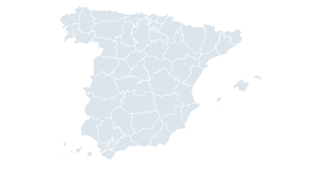
The 19 autonomous communities as editable shapes, with the provincial borders drawn over the top.

How to edit

Download a free sample deck — Spain Autonomous Communities, all three themes, no email and no card.

One-time payment · 3 .pptx files, all themes included · 14 days refund policy · Terms and Privacy

19 autonomous communitiesGeography
19Editable shapes
8Slides
3Themes
About this template

Every autonomous community in Spain — 19 shapes, drawn from the boundaries inscribed in the Registro Central de Cartografía. The provincial borders sit on the map as context lines, because the communities are not the level most Spanish data is published at: Castile and León holds nine provinces and Andalusia eight, and a national figure that stops at the community boundary hides all of it.

Typical use: National reporting, regional performance, and any figure published per comunidad autónoma.

Purchase terms

  • $19.99, one-time payment. There is no subscription and no further charge.
  • Immediate delivery. The download link is issued as soon as payment is confirmed. It keeps working, and a fresh one can be fetched at any time from the find-my-download page.
  • 14 days refunds. A refund may be requested within 14 days for any reason, whether or not the file has been downloaded. See the refund policy.
  • Commercial use. Use in any number of presentations, commercial or internal. Resale or redistribution of the file is not permitted.
  • Credit. Order FOM 2807/2015 requires the origin of the data to be acknowledged and the data date stated. Both are already on the source slide of every deck.
  • Payment. Handled by Waffo Pancake as merchant of record, which also collects any applicable tax.
Areas included

All 19 autonomous communities are in the file:

Andalucía, Aragón, Asturias, Canarias, Cantabria, Castilla y León, Castilla-La Mancha, Catalunya, Ceuta, Comunidad de Madrid, Comunitat Valenciana, Euskadi, Extremadura, Galicia, Illes Balears, La Rioja, Melilla, Navarra, Región de Murcia.

Specification
Price$19.99, one-time payment, no subscription
FormatPowerPoint .pptx, opens natively in Keynote
File size388 KB
Join fieldnational code (the CNIG national code for each area)
Area figuresArea, km², measured from the boundary geometry
Boundary sourceCentro Nacional de Información Geográfica (CNIG), Administrative units, Registro Central de Cartografía
ProjectionAlbers equal-area conic, with an inset for the Canary Islands
CoordinatesWGS84 longitude / latitude
LicenseCommercial use permitted; resale of the files is not
RefundsFull refund within 14 days for any reason, and at any time if the file is defective or not as described
Questions

Spain Autonomous Communities — questions before you buy

How is this different from the map chart built into PowerPoint?
The map chart built into Microsoft 365 looks places up through Bing Maps and stops at country level for Spain, so it cannot draw provinces or municipalities. These maps are ordinary PowerPoint shapes built from the CNIG boundary files: nothing is looked up, every level below country is covered, and any area can be recolored, relabelled or deleted on its own.
What does this map show?
All 19 autonomous communities of Spain as separate shapes, with the 52 provincial borders drawn over the top as context lines. The shapes together cover the whole country, so the map can sit beside a map of any single community without adjusting the projection.
What is an autonomous community?
One of the 17 first-level divisions of Spain, plus the two autonomous cities of Ceuta and Melilla, which is why the count on this map is 19. Each community runs its own health service, education system and much of its tax base, which is why regional figures are published against them and not against the provinces.
Why are the borders of the level below drawn on the map?
Because they carry the data. The provincial borders run across the map as context lines while the level above is colored, so a figure published per province can be read against the shape being highlighted without a second map. They are lines, not shapes: ungrouping the map never mixes the two levels.
What kind of data can I show on this map?
Anything published at autonomous community level: regional GDP, unemployment, population projections, funding allocations between communities. Classify your figures into five bands and recolor by class — the data slide is already a five-step legend you can keep or replace — and the data hand-off slide lists every national code against its area name, ready to paste your figures next to.
How do I link my own data to the map?
Each shape is named after its community and carries the national code CNIG assigns it. The communities are identified by their NUTS 2 code — ES11 for Galicia, ES30 for Madrid — which is the key most European datasets use for Spanish regions, so the join is usually direct. Join on the code rather than on the name: 'País Vasco' and 'Euskadi' are the same community under two official names, and only the code says so.
Which boundary release is this based on?
Centro Nacional de Información Geográfica (CNIG) boundaries, inscribed in the Registro Central de Cartografía — the register Royal Decree 1545/2007 requires provincial, autonomous-community and municipal boundary lines to be entered in. Retrieved 20 October 2026. Reused under Order FOM 2807/2015, which permits commercial use and requires the origin of the data to be acknowledged; the credit is already printed on the source slide of every deck.
Is there a wider or a more detailed map of this area?
The finer level is sold separately — Spain Provinces, Galicia Provinces, Asturias Provinces, Cantabria Provinces and 16 more in the catalog.
Is the area figure on the data slide official?
No, and it is labeled to say so. CNIG publishes no land-area attribute, so the figure is measured from the boundary geometry itself. Use it to sanity-check your own numbers; for official areas, use the INE figures.
How current are the boundaries?
Retrieved on 20 October 2026 from the CNIG service that serves the Registro Central de Cartografía, which is the legal register for these boundary lines. Municipal boundaries change rarely — a few mergers a year — and the retrieval date is printed on the source slide of every deck.
Can I use the map in a printed report?
Yes. The artwork is vector, so it prints at any size without pixelation, and the files carry no animation or embedded media that a PDF exporter would have to flatten. The Mono theme is the one to choose for black-and-white printing.
Keep exploring

Related Spain templates

Spain Provinces map preview $19.99
Provinces

Spain Provinces

All 52 provinces, with the municipal borders drawn over the top.

52 provinces 606 KB
Galicia Provinces map preview $19.99
Provinces

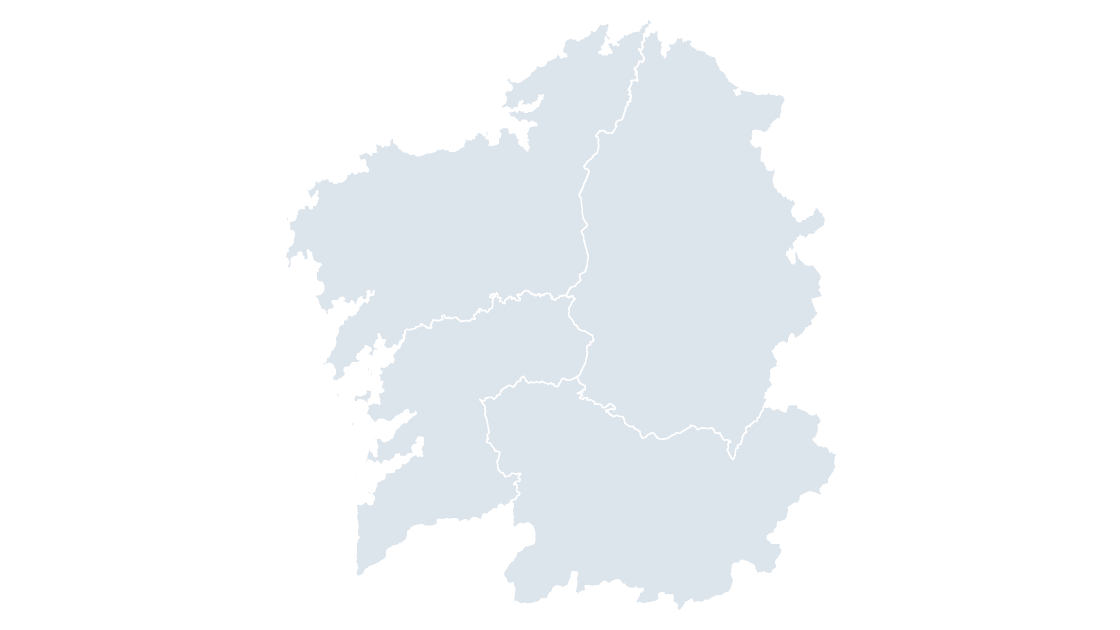
Galicia Provinces

Galicia — four Atlantic provinces and the only community whose whole territory drains west
4 provinces 289 KB
Asturias Provinces map preview $19.99
Provinces

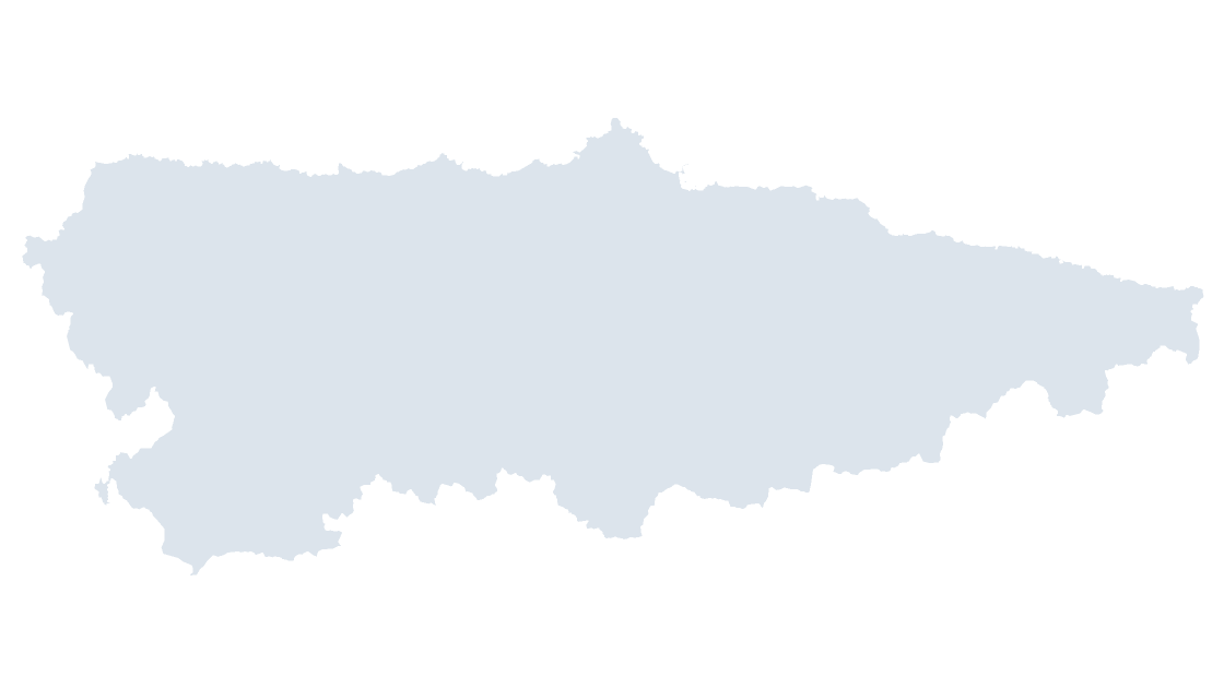
Asturias Provinces

Asturias — one province that is also the community, from the Bay of Biscay to the Picos de Europa

1 province 97 KB