 $19.99
Provinces
Canary Islands Provinces
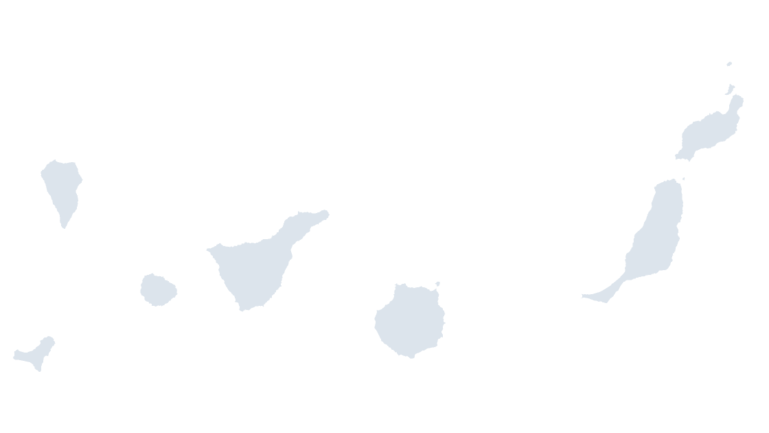
Canary Islands — two provinces across seven inhabited islands, 1,000 km from the mainland
2 provinces
77 KB
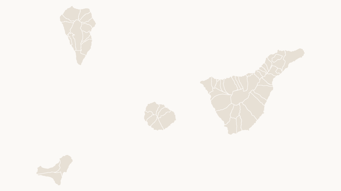
Preview shows the map slide in Editorial, Mono, Slate
Centro Nacional de Información Geográfica (CNIG), Instituto Geográfico Nacional. Boundaries registered in the Registro Central de Cartografía.
All 54 municipalities of Santa Cruz de Tenerife — the western Canaries: Tenerife, La Palma, La Gomera and El Hierro
Download a free sample deck — Spain Autonomous Communities, all three themes, no email and no card.
One-time payment · 3 .pptx files, all themes included · 14 days refund policy · Terms and Privacy
Every municipality in the province of Santa Cruz de Tenerife — 54 shapes, each with its INE code and named as the Registro Central de Cartografía names it. The western canaries: tenerife, la palma, la gomera and el hierro. This is the level Spanish statistics are finally published at, and the one that joins to a postcode, an electoral roll or a cadastral parcel without a lookup table.
Typical use: Local coverage, service-area and catchment maps, and any figure published per municipio.
All 54 municipalities are in the file:
Adeje, Agulo, Alajeró, Arafo, Arico, Arona, Barlovento, Breña Alta, Breña Baja, Buenavista del Norte, Candelaria, El Paso, El Pinar de El Hierro, El Rosario, El Sauzal, El Tanque, Fasnia, Frontera, Fuencaliente de la Palma, Garachico, Garafía, Granadilla de Abona, Guía de Isora, Güímar, Hermigua, Icod de los Vinos, La Guancha, La Matanza de Acentejo, La Orotava, La Victoria de Acentejo, Los Llanos de Aridane, Los Realejos, Los Silos, Puerto de la Cruz, Puntagorda, Puntallana, San Andrés y Sauces, San Cristóbal de La Laguna, San Juan de la Rambla, San Miguel de Abona, San Sebastián de la Gomera, Santa Cruz de la Palma, Santa Cruz de Tenerife, Santa Úrsula, Santiago del Teide, Tacoronte, Tazacorte, Tegueste, Tijarafe, Valle Gran Rey, Vallehermoso, Valverde, Vilaflor de Chasna, Villa de Mazo.
| Price | $19.99, one-time payment, no subscription |
|---|---|
| Format | PowerPoint .pptx, opens natively in Keynote |
| File size | 197 KB |
| Join field | national code (the CNIG national code for each area) |
| Area figures | Area, km², measured from the boundary geometry |
| Boundary source | Centro Nacional de Información Geográfica (CNIG), Administrative units, Registro Central de Cartografía |
| Projection | Albers equal-area conic, with an inset for the Canary Islands |
| Coordinates | WGS84 longitude / latitude |
| License | Commercial use permitted; resale of the files is not |
| Refunds | Full refund within 14 days for any reason, and at any time if the file is defective or not as described |
$19.99
Canary Islands — two provinces across seven inhabited islands, 1,000 km from the mainland
 $19.99
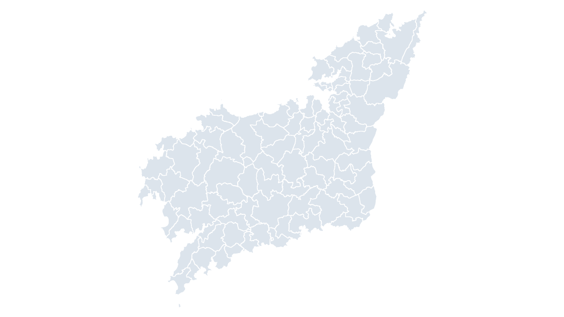
All 93 municipalities of A Coruña — the Atlantic rías of Galicia's north coast, from Ferrol to Camariñas
 $19.99
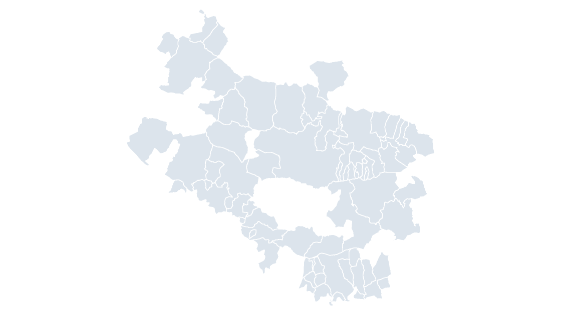
All 51 municipalities of Álava — the smallest of the three Basque provinces by area, and the one that holds the community's capital