 $19.99
Provinces
Andalusia Provinces
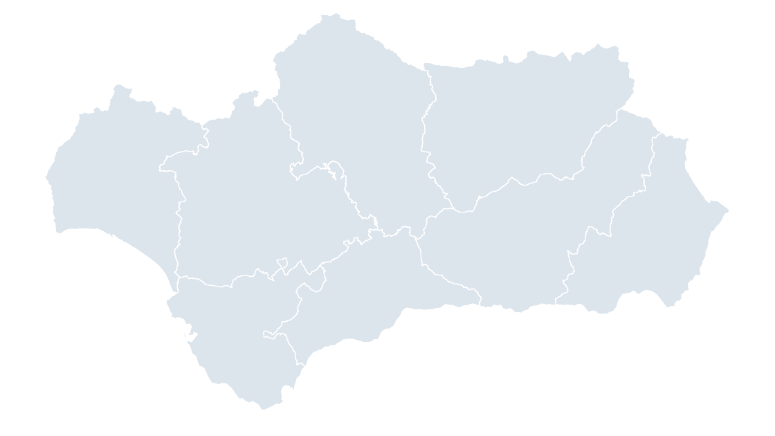
Andalusia — eight provinces in the Guadalquivir basin, the largest community by population
8 provinces
173 KB
Preview shows the map slide in Editorial, Mono, Slate
Centro Nacional de Información Geográfica (CNIG), Instituto Geográfico Nacional. Boundaries registered in the Registro Central de Cartografía.
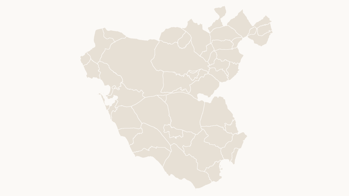
All 45 municipalities of Cádiz — the southernmost province on the continent, with the White Towns along its inland edge
Download a free sample deck — Spain Autonomous Communities, all three themes, no email and no card.
One-time payment · 3 .pptx files, all themes included · 14 days refund policy · Terms and Privacy
Every municipality in the province of Cádiz — 45 shapes, each with its INE code and named as the Registro Central de Cartografía names it. The southernmost province on the continent, with the white towns along its inland edge. This is the level Spanish statistics are finally published at, and the one that joins to a postcode, an electoral roll or a cadastral parcel without a lookup table.
Typical use: Local coverage, service-area and catchment maps, and any figure published per municipio.
All 45 municipalities are in the file:
Alcalá de los Gazules, Alcalá del Valle, Algar, Algeciras, Algodonales, Arcos de la Frontera, Barbate, Benalup-Casas Viejas, Benaocaz, Bornos, Castellar de la Frontera, Chiclana de la Frontera, Chipiona, Conil de la Frontera, Cádiz, El Bosque, El Gastor, El Puerto de Santa María, Espera, Grazalema, Jerez de la Frontera, Jimena de la Frontera, La Línea de la Concepción, Los Barrios, Medina Sidonia, Olvera, Paterna de Rivera, Prado del Rey, Puerto Real, Puerto Serrano, Rota, San Fernando, San José del Valle, San Martín del Tesorillo, San Roque, Sanlúcar de Barrameda, Setenil de las Bodegas, Tarifa, Torre Alháquime, Trebujena, Ubrique, Vejer de la Frontera, Villaluenga del Rosario, Villamartín, Zahara.
| Price | $19.99, one-time payment, no subscription |
|---|---|
| Format | PowerPoint .pptx, opens natively in Keynote |
| File size | 265 KB |
| Join field | national code (the CNIG national code for each area) |
| Area figures | Area, km², measured from the boundary geometry |
| Boundary source | Centro Nacional de Información Geográfica (CNIG), Administrative units, Registro Central de Cartografía |
| Projection | Albers equal-area conic, with an inset for the Canary Islands |
| Coordinates | WGS84 longitude / latitude |
| License | Commercial use permitted; resale of the files is not |
| Refunds | Full refund within 14 days for any reason, and at any time if the file is defective or not as described |
$19.99
Andalusia — eight provinces in the Guadalquivir basin, the largest community by population
 $19.99
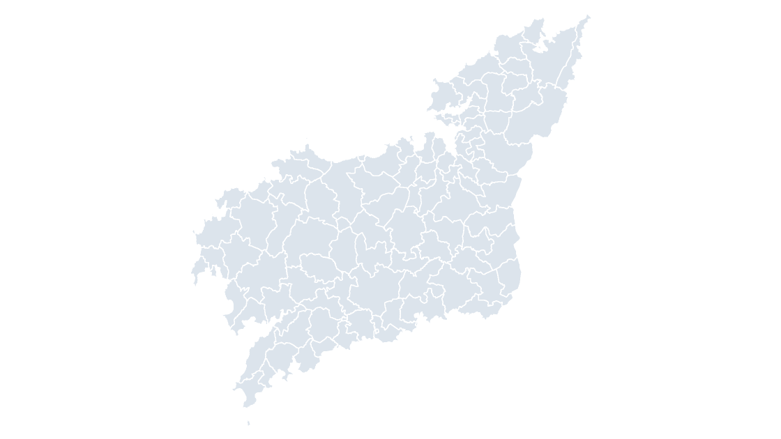
All 93 municipalities of A Coruña — the Atlantic rías of Galicia's north coast, from Ferrol to Camariñas
 $19.99
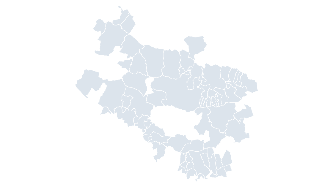
All 51 municipalities of Álava — the smallest of the three Basque provinces by area, and the one that holds the community's capital