 $19.99
Cities
Anqing Counties
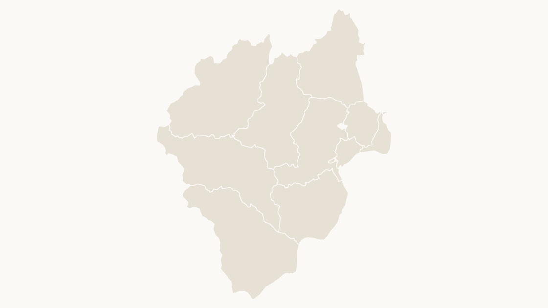
The 10 districts and counties of Anqing City, Anhui Province — each one a separate shape you can fill, label or delete.
10 districts and counties
3 themes

Preview shows the map slide in Editorial, Mono, Slate.
The 4 districts and counties of Tongchuan City, Shaanxi Province — each one a separate shape you can fill, label or delete.
One-time payment · 3 .pptx files, all themes included · 14 days refund policy · Terms and Privacy
One deck, three themes, no email and no card. The file is the real template, so you can ungroup it, recolor a shape and check that it behaves before buying anything.
The 4 districts and counties that make up Tongchuan City, in Shaanxi Province. This is the level most local data is published at — population, enrolment, caseload, store coverage — so a map drawn on these boundaries matches the table beside it without interpolation.
Typical use: Local coverage and territory maps within Tongchuan City, and any figure published per district or county.
| Price | $19.99, one-time payment, no subscription |
|---|---|
| Format | PowerPoint .pptx, opens natively in Keynote |
| File size | 39 KB |
| Join field | GB code (the GB administrative code for each area) |
| Area figures | Area, km², measured from the boundary geometry |
| Boundary source | chinaadminboundaries dataset |
| Projection | Albers equal-area conic, standard parallels 25°N and 47°N, central meridian 105°E |
| Coordinates | WGS84 longitude / latitude |
| License | Commercial use permitted; resale of the files is not |
| Refunds | Full refund within 14 days for any reason, and at any time if the file is defective or not as described |
All 4 districts and counties are in the file:
Wangyi District, Yaozhou District, Yijun County, Yintai District.
| A map image | PowerPoint's map chart | This file | |
|---|---|---|---|
| Color one area and leave the rest | No — the picture is a single object | Yes, shaded from its data | Yes — 4 separate shapes |
| Edit without an internet connection | Yes | No — place names are resolved through Bing | Yes |
| Needs a Microsoft 365 or Office 2019 subscription | No | Yes | No — any PowerPoint that opens a .pptx |
| Rename, delete or move a single area | No | No | Yes — every shape is named in the Selection Pane |
| Cost | Free | Included with the subscription | $19.99, once |
$19.99
The 10 districts and counties of Anqing City, Anhui Province — each one a separate shape you can fill, label or delete.
 $19.99
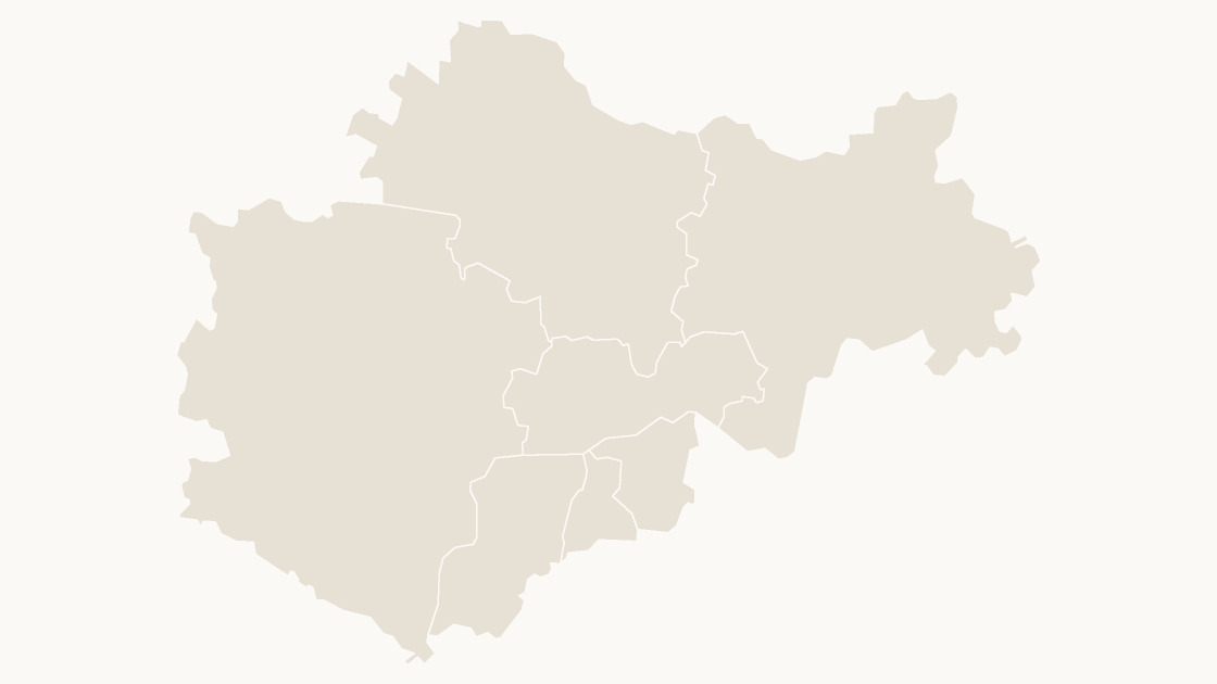
The 7 districts and counties of Bengbu City, Anhui Province — each one a separate shape you can fill, label or delete.
 $19.99
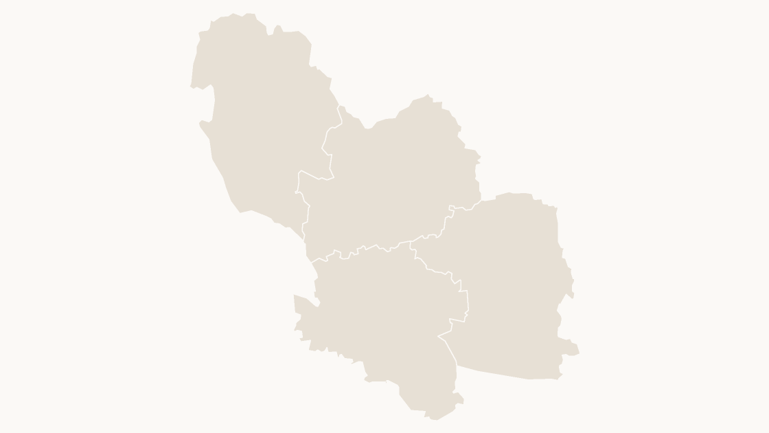
The 4 districts and counties of Bozhou City, Anhui Province — each one a separate shape you can fill, label or delete.