 $19.99
Cities
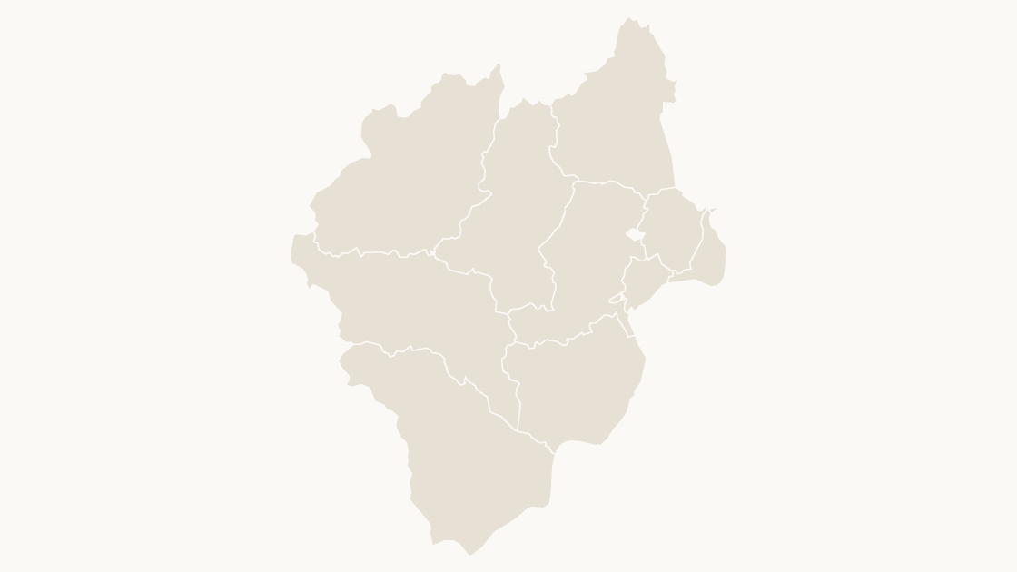
Anqing Counties
The 10 districts and counties of Anqing City, Anhui Province — each one a separate shape you can fill, label or delete.
10 districts and counties
3 themes
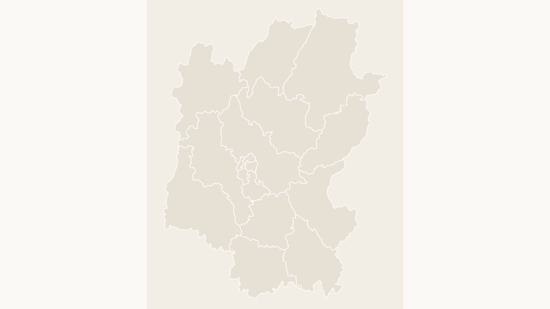
Preview shows the map slide in Editorial, Mono, Slate.
The 17 districts and counties of Guilin City, Guangxi Zhuang Autonomous Region — each one a separate shape you can fill, label or delete.
One-time payment · 3 .pptx files, all themes included · 14 days refund policy · Terms and Privacy
One deck, three themes, no email and no card. The file is the real template, so you can ungroup it, recolor a shape and check that it behaves before buying anything.
The 17 districts and counties that make up Guilin City, in Guangxi Zhuang Autonomous Region. This is the level most local data is published at — population, enrolment, caseload, store coverage — so a map drawn on these boundaries matches the table beside it without interpolation.
Typical use: Local coverage and territory maps within Guilin City, and any figure published per district or county.
| Price | $19.99, one-time payment, no subscription |
|---|---|
| Format | PowerPoint .pptx, opens natively in Keynote |
| File size | 98 KB |
| Join field | GB code (the GB administrative code for each area) |
| Area figures | Area, km², measured from the boundary geometry |
| Boundary source | chinaadminboundaries dataset |
| Projection | Albers equal-area conic, standard parallels 25°N and 47°N, central meridian 105°E |
| Coordinates | WGS84 longitude / latitude |
| License | Commercial use permitted; resale of the files is not |
| Refunds | Full refund within 14 days for any reason, and at any time if the file is defective or not as described |
All 17 districts and counties are in the file:
Diecai District, Gongcheng Yao Autonomous County, Guanyang County, Lingchuan County, Lingui District, Lipu City, Longsheng Various Nationalities Autonomous County, Pingle County, Qixing District, Quanzhou County, Xiangshan District, Xing'an County, Xiufeng District, Yangshuo County, Yanshan District, Yongfu County, Ziyuan County.
| A map image | PowerPoint's map chart | This file | |
|---|---|---|---|
| Color one area and leave the rest | No — the picture is a single object | Yes, shaded from its data | Yes — 17 separate shapes |
| Edit without an internet connection | Yes | No — place names are resolved through Bing | Yes |
| Needs a Microsoft 365 or Office 2019 subscription | No | Yes | No — any PowerPoint that opens a .pptx |
| Rename, delete or move a single area | No | No | Yes — every shape is named in the Selection Pane |
| Cost | Free | Included with the subscription | $19.99, once |
$19.99
The 10 districts and counties of Anqing City, Anhui Province — each one a separate shape you can fill, label or delete.
 $19.99
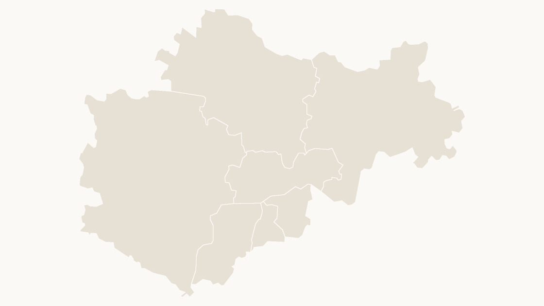
The 7 districts and counties of Bengbu City, Anhui Province — each one a separate shape you can fill, label or delete.
 $19.99
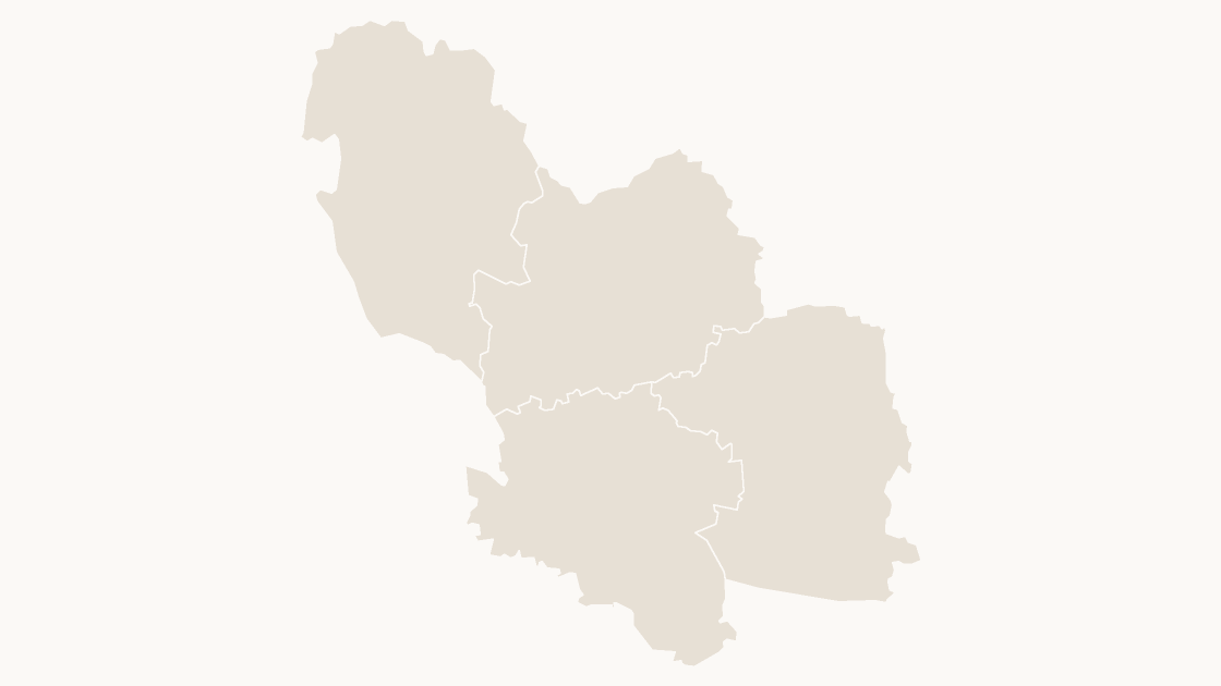
The 4 districts and counties of Bozhou City, Anhui Province — each one a separate shape you can fill, label or delete.