 $19.99
Provinces
Anhui Cities
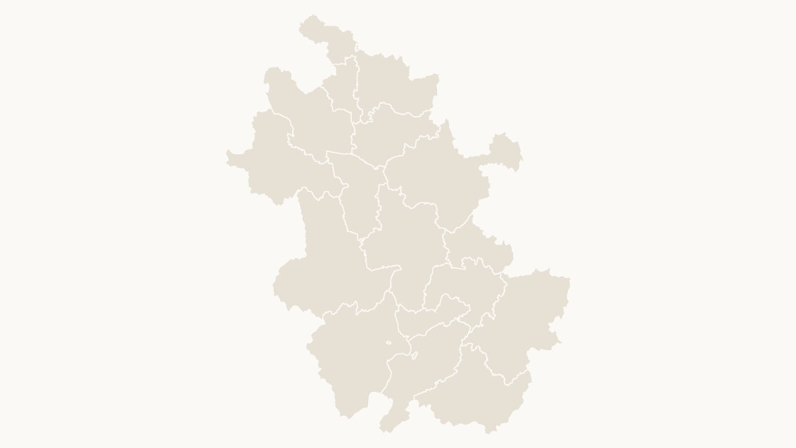
The 16 prefecture-level cities of Anhui as separate shapes, sized for a slide rather than a wall.
16 prefecture-level cities
3 themes
Preview shows the map slide in Editorial, Mono, Slate.
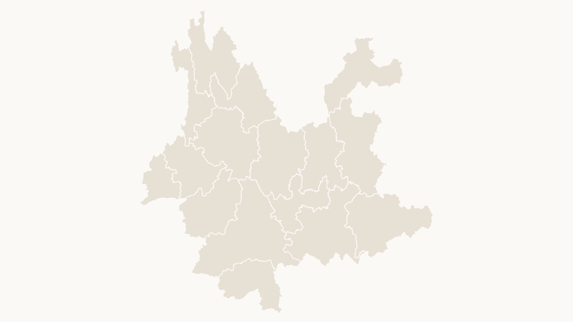
The 16 prefecture-level cities of Yunnan as separate shapes, sized for a slide rather than a wall.
One-time payment · 3 .pptx files, all themes included · 14 days refund policy · Terms and Privacy
One deck, three themes, no email and no card. The file is the real template, so you can ungroup it, recolor a shape and check that it behaves before buying anything.
The 16 prefecture-level cities of Yunnan Province, in China, drawn from the national boundary set. Each city is one shape, so a regional split can follow the administrative lines that the statistics already use instead of hand-drawn areas.
Typical use: Regional comparison within Yunnan, sales or service coverage, and any figure published per city.
| Price | $19.99, one-time payment, no subscription |
|---|---|
| Format | PowerPoint .pptx, opens natively in Keynote |
| File size | 421 KB |
| Join field | GB code (the GB administrative code for each area) |
| Area figures | Area, km², measured from the boundary geometry |
| Boundary source | chinaadminboundaries dataset |
| Projection | Albers equal-area conic, standard parallels 25°N and 47°N, central meridian 105°E |
| Coordinates | WGS84 longitude / latitude |
| License | Commercial use permitted; resale of the files is not |
| Refunds | Full refund within 14 days for any reason, and at any time if the file is defective or not as described |
All 16 prefecture-level cities are in the file:
Baoshan City, Chuxiong Yi Autonomous Prefecture, Dali Bai Autonomous Prefecture, Dehong Dai and Jingpo Autonomous Prefecture, Diqing Tibetan Autonomous Prefecture, Honghe Hani and Yi Autonomous Prefecture, Kunming City, Lijiang City, Lincang City, Nujiang Lisu Autonomous Prefecture, Pu'er City, Qujing City, Wenshan Zhuang and Miao Autonomous Prefecture, Xishuangbanna Dai Autonomous Prefecture, Yuxi City, Zhaotong City.
| A map image | PowerPoint's map chart | This file | |
|---|---|---|---|
| Color one area and leave the rest | No — the picture is a single object | Yes, shaded from its data | Yes — 16 separate shapes |
| Edit without an internet connection | Yes | No — place names are resolved through Bing | Yes |
| Needs a Microsoft 365 or Office 2019 subscription | No | Yes | No — any PowerPoint that opens a .pptx |
| Rename, delete or move a single area | No | No | Yes — every shape is named in the Selection Pane |
| Cost | Free | Included with the subscription | $19.99, once |
$19.99
The 16 prefecture-level cities of Anhui as separate shapes, sized for a slide rather than a wall.
 $19.99
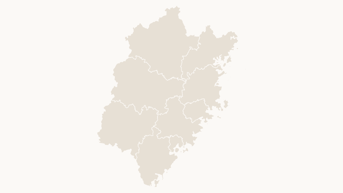
The 9 prefecture-level cities of Fujian as separate shapes, sized for a slide rather than a wall.
 $19.99
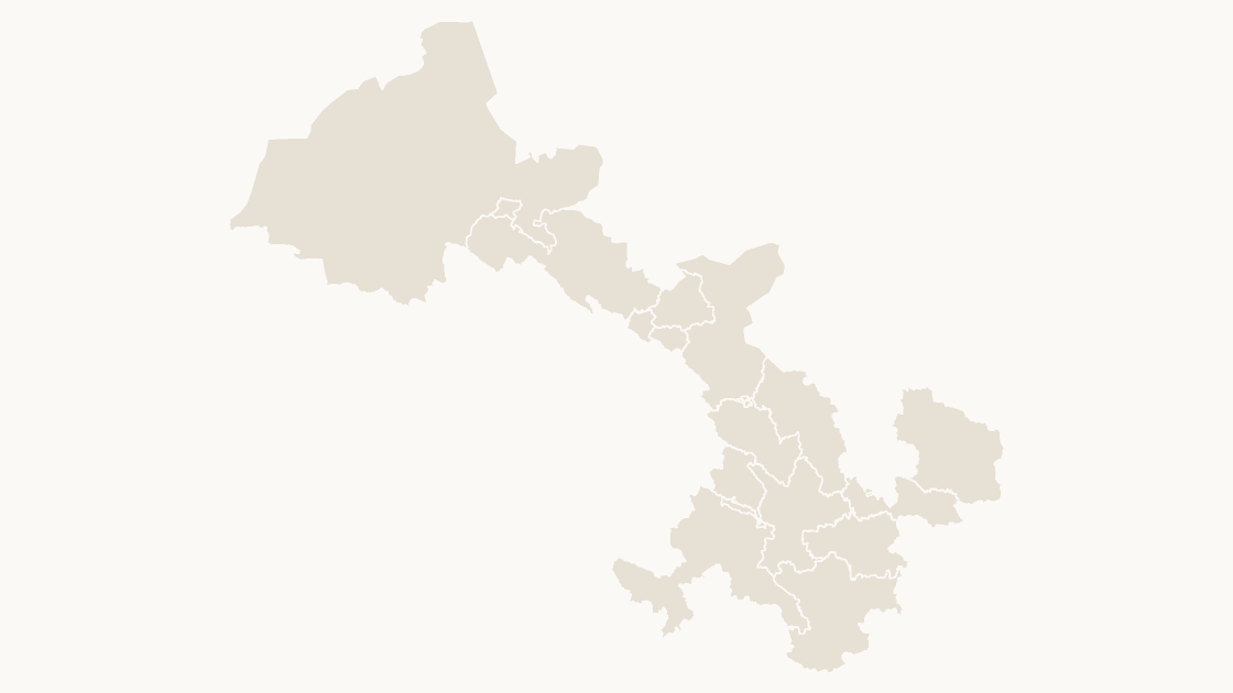
The 17 prefecture-level cities of Gansu as separate shapes, sized for a slide rather than a wall.